Download
1 / 51
510 likes | 866 Views
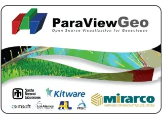
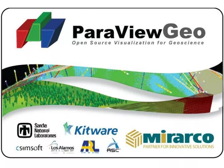
Kitware. Where it started. Medical / Weather Imaging Visualization Toolkit Engine Open source Cluster capable OOD. Programming with E2VO Students. Robert Maynard Lead Programmer. Where it was. Paraview -> ParaviewGeo OPEN Major challenge for mining Switch from GoCad / DataMine

E N D
Kitware Where it started • Medical / Weather Imaging • Visualization Toolkit Engine • Open source • Cluster capable • OOD
Programming with E2VO Students Robert Maynard Lead Programmer
Where it was • Paraview -> ParaviewGeo • OPEN • Major challenge for mining • Switch from GoCad / DataMine • 2.5 month Experiment • Mentorship • Tool development
My Job • Teacher • Programming (Python / VTK) • 3 week course • Mentor • Resource for daily programming problems • Developer
Finite-Discrete Element Method • ParaViewGeo Reader • Reads files generated by Y program
Why? Geomechanics Group @ U of T
Why ParaViewGeo? • Time Support • Data Analysis • Animation • Pan • Zoom • Rotate
Customizing ParaViewGeo “Floating” Detached View Manager
Fullscreen ParaViewGeo Server Client
Information Visualization • Mining Mind Map • Mine Planning and SOT • ParaViewGeo Implementation
Mining Mind Map Scheduling
SOT Data Schedule Parameters: Guidance Formula Capacity Net Present Value Mine Life Village Similarity
Paper Space vs. Model Space • AutoCAD has 2 separate work spaces • Paper space • Model space • Two different scales • Automatic scaling • ParaViewGeo does not scale automatically
2D and 3D • ParaViewGeo now has support for both 2D and 3D DXF files
3D Files AutoCAD ParaViewGeo
Layers and Blocks • Data grouped by layer/block • Coloured by layer Layer Entities Block
Extensive Object Support • Supported objects • Points • Lines • Polylines • Circles • Arcs • Text • 3DFaces (polygons) • 3D Polyface meshing
DrillHole Compositing • User-defined analysis region • Intersection detection
Volume Tetrahedralization Tetrahedralized objects Slicing the objects
SGeMS Reader/Writer Cartesian Grid in SGeMs Cartesian Grid in Paraview
Discover Abitibi Cross Sections Database → Text File → ParaViewGeo ID, position, value, unit Value + Unit = Thickness of Surficial Sediments
2D vs. 3D Cross Sections We started with 2D We made it 3D
Discover Abitibi Binary → ParaViewGeo VRML→ with Python Gravity and Magnetic Shells
MIRARCO Seismic Database Complete Seismic Data Set Ellipsoid Clusters Cluster Intersections
ParaViewGeo Filters • Convert Polygons to Grid • Distance to Grid • Drillhole Compositing • Drillhole to Hierarchical Dataset • Map Attributes Between Datasets • Peak Particle Velocity • Proximity Threshold • Sequence Arrows • Surface Reconstruction • Time Threshold • Volume Tetrahedralization • Wireframe Intersection
ParaViewGeo Readers • Autocad DXF • BlockModel (ASCII – CSV) • Datamine • FEM/DEM • GoCad • Geo Referenced Cross Section Images • Geo Referenced Plane Images • GeoSoft • Gemcom (ASCII – CSV) • Map3D • Maptek Vulcan • MIRARCO Drillhole Database • MIRARCO Seismic Database • MIRARCO SOT-EPS • Minesight • SGeMs • VTK
ParaViewGeo Wiki http://paraviewgeo.mirarco.org Download About Features Functionality Tutorials