Download
1 / 9
90 likes | 212 Views
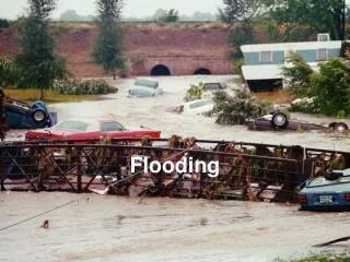
Hurricane Dolly and Flooding Zones. Created by Dr. A. Davila May 9, 2011.

E N D
Hurricane Dollyand Flooding Zones Created by Dr. A. Davila May 9, 2011
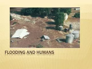
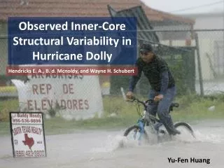
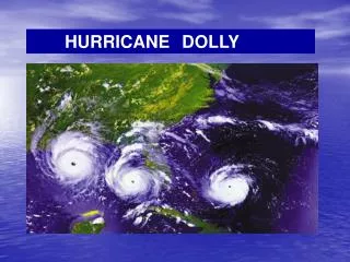
Hurricane Dolly lands in the Texas-Mexico border on July 23 2008, packing 85 mph winds.http://www.foxnews.com/story/0,2933,388164,00.htmlhttp://www.tropicalweather.net/gallery11.htmhttp://www.nasa.gov/mission_pages/hurricanes/archives/2008/h2008_dolly.html
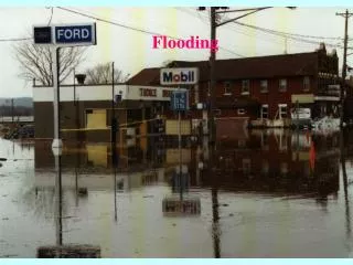
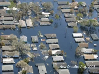
AAreas of 100-yr flood; base flood elevations and flood hazard factors not determined. B Areas between limits of the 100-yr flood and 500-yr flood; or certain areas subject to 100-yr flooding with average depths less than one (1) foot or where the contributing drainage area is less than one square mile; or areas protected by levees from the base flood. (Medium Shading) C Areas of minimal flooding. (No Shading) Flooding Map
http://www.co.cameron.tx.us/dot/docs/FEMA_FLOOD_MAP.pdf AAreas of 100-yr flood; base flood elevations and flood hazard factors not determined. B Areas between limits of the 100-yr flood and 500-yr flood; or certain areas subject to 100-yr flooding with average depths less than one (1) foot or where the contributing drainage area is less than one square mile; or areas protected by levees from the base flood. (Medium Shading) C Areas of minimal flooding. (No Shading) Flooding Map http://floodsmart.com/zones_defined.htm
Website Links: http://www.theweatherchannelkids.com/ www.weather.com Local Weather-Channel 4 Local Weather-Channel 5 Weather Vocabulary Weather encyclopedia Hurricane Central – Weather channel