Download
1 / 17

E N D
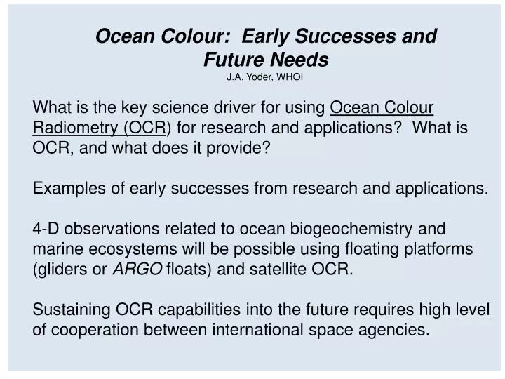
What is the key science driver for using Ocean Colour Radiometry (OCR) for research and applications? What is OCR, and what does it provide?Examples of early successes from research and applications. 4-D observations related to ocean biogeochemistry and marine ecosystems will be possible using floating platforms (gliders or ARGO floats) and satellite OCR. Sustaining OCR capabilities into the future requires high level of cooperation between international space agencies. Ocean Colour: Early Successes and Future NeedsJ.A. Yoder, WHOI
phytoplankton Science Driver for Research and Applications: What is the variability of key biogeochemical and ecological indices related to ocean productivity at meso- to basin-scales and at time scales ranging from days to interannual? Coastal USA NYC N.E.USA
Marine Phytoplankton (Diatoms) Ca. 200X mag. Photos by Dr. Jan Rines, GSO/URI
Pathlengths to a Satellite Sensor for Sunlight Shining on the Sea Lw = water leaving radiance which contains the information on in-water constituents such as phytoplankton concentration. However, most of the signal reaching the sensor has been affected by scattering and absorption in the atmosphere. S/N = about 0.1 on average for key wavelengths. Lw
Sensor Wavelengths for SeaWiFS – which is in polar orbit, crossing equator at local noon, 1 km pixel resolution, 1500-2800 km swath width Note: Additional spectral bands, e.g. on MERIS, yield improved algorithms and new products.
CompositeSeaWiFSChlorophyll Image: 1997-2009 (G. Feldman, NASA-GSFC) OCR Imagery is our ONLY global view of time-space variability related to marine ecosystems and biogeochemical cycles.
Seasonal OCR Chlorophyll Variability In the Global Ocean From Yoder and Kennelly 2006
Interannual Variability: Productivity Change During ENSO Transition: Global monthly means ( ) and anomalies ( ) Changes in ocean and land vegetation led to global productivity increase of 6 Pg/year during transition from 1997 El Nino to 1999 La Nina, with most response in the ocean. Ocean:SeaWiFS chlorophyll Land: SeaWiFS land vegetation index Behrenfeld et al. 2001, Science.
Long Term Trends Related to Changes to Ocean Stratification? Slope of the linear regression for Chl-a (expressed in % year-1) over 10 years of SeaWiFS data (November 1997–October 2007) from Vantrepotte and Mélin (2009).
OCR Revealed Importance of Meso-scale Variability and the Close Link to Physical Features such as Eddies, Plumes and Planetary Waves. Chl SST
SAFARI Initiative – Fisheries Application Indian Potential Fishing Zones (PFZs) Dwivedi, ISRO
SAFARI Initiative Showing Fisheries Management Application N.E. Canada Platt et al. (2003)
Most GEO applications for OCR imagery are for coastal waters. Imaging coastal waters requires imagery with pixel resolution > 1 km. MERIS 300m Long Island, NY Note the plumes and other structures in the MERIS 300-m image not resolved in the 1-km SeaWiFS image. SeaWiFS 1 km
4-D observations related to ocean biogeochemistry and marine ecosystems will be possible using floating platforms (gliders or ARGO bio-floats) combined with satellite OCR.
Particulate Carbon Time Series from ARGO Floats From Bishop et al. 2002
Conclusions The decadal+ time series of calibrated, global ocean color radiances from multiple sensors is one of the important developments of our time for the study of ocean ecosystems and biogeochemical cycles.