Download
1 / 44
440 likes | 572 Views
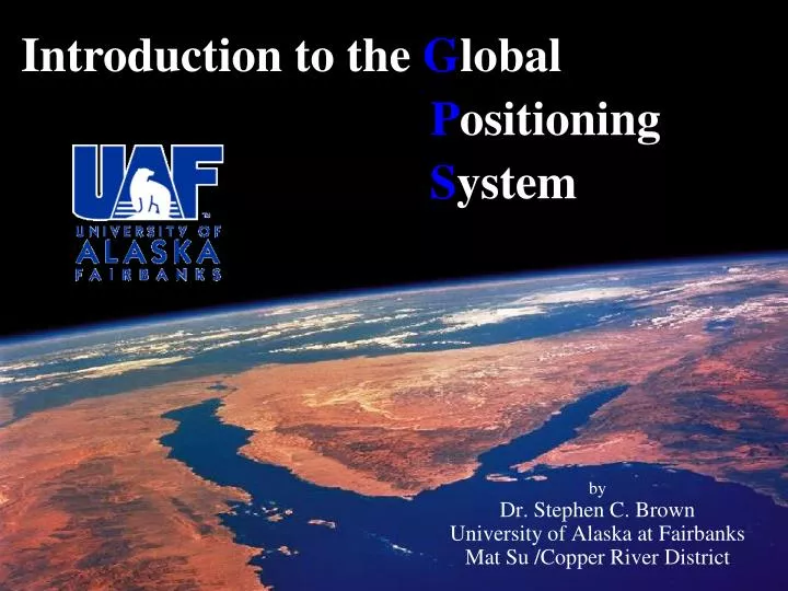
Introduction to the G lobal P ositioning S ystem. by Dr. Stephen C. Brown University of Alaska at Fairbanks Mat Su /Copper River District. WHAT IS GPS?. Satellite based radio positioning system Developed and maintained by the U.S. Department of Defense

E N D
Introduction to the Global Positioning System by Dr. Stephen C. Brown University of Alaska at Fairbanks Mat Su /Copper River District
WHAT IS GPS? • Satellite based radio positioning system • Developed and maintained by the • U.S. Department of Defense • Made up of three segments: • Space • Control • User or Ground receivers • Used for obtaining accurate locations • any where on earth
GPS Is An Excellent Mapping Tool • Instantly gives: • Altitude • Speed • Longitude and Latitude
LAND SEA AIR NEED Four SV’s. • USER SEGMENT
Control Segment • Maintained by the Department of Defense
How It Works…. Trilateration
Increasing Accuracy:Wide Area Augmentation Service (WAAS) 100 m 15 m <3m
Recognizing Coordinate Systems Format TypeExample Coordinate(all are same position) Degrees, Minutes, Seconds (DMS): 290 34’ 15” Decimal Minutes (DM): 290 34.25’ Decimal Degrees (DD): 29.57080 290 34’ 15” is the same as 29 34 15 290 34.25’ is the same as 29 34.25
Universal Transverse Mercator (UTM) Coordinates A “metric” coordinate system 5V 605913.13 E 6707279.66 N 6707279.66 meters Northing 605913.13 meters Easting
The Right Datum is Important! GPS data stored in WGS84/NAD83 datum and displaying them with GIS data in NAD27 datum can result in 100's of meters in error!
Error Problems in Alaska SV’s are on an southern equatorial plane Mountains often block the sky Extreme cold impact batteries
PRACTICAL APPLICATIONS • Navigation • Sailing, hiking and aviation • Collecting and locating way-points • Locating Features • Stocking locations or stream surveys • Endangered or sensitive species locations • Locating trails or physical structures • GIS • Collecting GPS data along with attribute data • Mapping and database update • Surveying • Locating Control Points quickly
Garmin GPS Receivers • Inexpensive and downloadable • Available locally for less than $150 • Most GPS receivers similar in operation
SV Visibility clear view obstructed view clear view obstructed view
SkyView Page • Satellite status appears while the unit “finds” the satellites • Acquisition can take several minutes
Waypoints 4 track 2 3 waypoint 1
What is Geocaching? Geocaching is a worldwide “scavenger hunt” using GPS to find “caches” of treasure. The only rules are to leave something if you take something and do not disturb the cache
GPS Online Resources www.garmin.com www.trimble.com www.geocaching.com www.earth.google.com
Steve Brown: ffscb2@uaf.edu 907-745-3639 Mat-Su/Copper River District University of Alaska Fairbanks Cooperative Extension Service