Download
1 / 28
280 likes | 339 Views
Experience converting HEC-2 data to HEC-RAS, creating cross sections, and generating inundation mapping using ArcView GIS for flow computation in Ohio River Basin. Detailed procedure outlined for spatial data management, cross section generation, pre-processing, hydraulic flow computations, DEM production, post-processing, and final inundation map production.

E N D
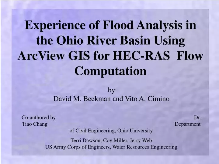
Experience of Flood Analysis in the Ohio River Basin Using ArcView GIS for HEC-RAS Flow Computation by David M. Beekman and Vito A. Cimino Co-authored by Dr. Tiao Chang Department of Civil Engineering, Ohio University Terri Dawson, Coy Miller, Jerry Web US Army Corps of Engineers, Water Resources Engineering
Objectives • Convert existing HEC-2 data to HEC-RAS • Generate channel cross sections using HEC-2 data • Geo-Reference data using ArcView GIS • Present Inundation Mapping
Alum Creek Project Location
What’s Required? Data • Existing HEC-2 data for desired reach • USGS 1:24,000 DLG data Software • HEC-RAS • ArcView GIS
Procedure Outline • Spatial Data Management • Cross Section Generation • Pre-processing • Hydraulic Flow Computations • Final DEM Production • Post-processing • Final Inundation Map Production
Spatial Data Management • Download USGS 1:24,000 DLGs • Hypsography • Hydrography • Roads • Convert to shapefiles in ArcView • Delineate stream centerline and banks
Cross Section Generation • Analysis of HEC-2 Data • Cross section lengths • Distance between • adjacent cross sections • Cross section elevations
Cross Section Generation (cont.) • Application of ArcView • Constructed manually • Based on topography and cross section survey data • Cross section stationing and distance calculations • (use of AVRAS 2.2 – ArcView extension)
Pre-processing • Preparation of temporary terrain TIN • USGS hypsography DLGs • Implement AV-RAS options in ArcView • (use of AVRAS 2.2 – ArcView extension)
Pre-processing (cont.) • Select AV-RAS theme setup • TIN • Cross sections • Centerline • Banks • Flow path
Pre-processing (cont.) • Complete remaining AV-RAS options • Generate *.geo file • Import file for HEC-RAS • Consists of ArcView geometric data
HEC-2 X-sections • Preprocessed X-sections
Hydraulic Flow Computation • Adjust GIS geometry file according to HEC-2 data in HEC-RAS • Ground elevations • Cross section lengths
Hydraulic Flow Computation • Adding parameters • Manning’s‘n’ values • Contraction/Expansion coefficients • Bridges/Piers • Steady flow data • Run water surface profile computations • Model verification • Generate *.gis file (HEC-RAS export file)
Final DEM Production • Run Avenue script to export cross sections into ArcView • Cross section and point elevation shapefiles generated • Based on HEC-RAS geometry data • Point elevation data (original HEC-2 data) • Topographical elevation data (USGS data) • Final DEM produced
Post-processing • Implement RAS-AV options in ArcView • (use of AVRAS 2.2 – ArcView extension)
Post-processing (cont.) • Select RAS-AV theme setup • HEC-RAS *.gis export file • Creation of output directory • Terrain TIN • Rasterization cell
Post-processing (cont.) • Complete remaining RAS-AV options • Select desired water surface elevations • Floodplain delineation
Alum Creek Floodplain 4,200 cfs 6,500 cfs 8,100 cfs 13,600 cfs
Final Inundation Mapping 4,200 cfs
Final Inundation Mapping 6,500 cfs
Final Inundation Mapping 8,100 cfs
Final Inundation Mapping 13,600 cfs
Conclusions • Converted HEC-2 data to HEC-RAS • Created cross sections to geographically reference HEC-2 data with ArcView GIS • Performed hydraulic flow analysis with HEC-RAS • Presented Inundation Mapping for floodplain delineation
Acknowledgements Ohio University U.S. Army Corps of Engineers, Huntington District