Download
1 / 19
210 likes | 411 Views
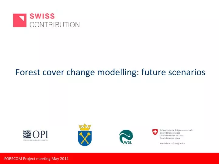
Forest cover change modelling: future scenarios. Forest cover change scenarios – general approach. Map current forest / land cover Identify over-arching processes Climate change Population growth / demographic change Economic growth Political change new energy policy

E N D
Forestcoverchangescenarios – generalapproach • Mapcurrentforest/landcover • Identifyover-archingprocesses • Climatechange • Population growth/demographicchange • Economicgrowth • Political change • newenergypolicy • conservationpolicy, etc • Definestorylinesforfuturescenarios • Identifydriversofcoverchange • Land abandonment • Policy/planning • Urban sprawl • Quantifyfuture ‘demands’ forlanduse/ forest
Forestcoverchangescenarios • Climate Change • Agriculturalchange • Land abandonment, marginal open areastoforest • Agriculturalintensification • Urbanisation • newsettlements Currentlandcover Land usedemand Initial State Land-use/forestsuitability Dyna-CLUEModellingframework (P. Verburg, University of Amsterdam) Land usesuitability Mapsoflandcover/forestcoverchangescenarios Environmental Data/explanatory variables
CLUE (Conversion of Land Use and its Effects) model • one of the mostfrequently used land use models worldwide • is based on the spatial allocation ofdemands for different land use types to individualgrid cells
Overview of modelingprocedure - CLUE Verburg 2010
Dyna-CLUE – allocation procedure Verburg & Overmars 2009
Current land use scenario modelling in Switzerland • Focus on landusechange in general (not onlyforest) • 6 landuseclasses • WholeofSwitzerland • 5 futurescenariosto 2035 • Largelyfocusing on populationandagriculturaldrivers – noclimatechange
Land use/land cover classes Closed Canopy Forest Open Forest/ Scrub Overgrown Areas Urban Areas PastureAgriculture ArableAgriculture
Globalisation, High global economic growth but low Swiss growth (A1) Heterogeneous world, regionally centered growth, (comparatively) high economic growth for Switzerland (A2) Lessintervention ¨Drivingforces Population Economy …. More global More regional Globalisation but emphasis on services, high ecological concerns. Low Swiss growth (B1) Self-sufficiency, Regionally centered development, high ecological concerns (B2) More intervention
Quantification of Scenarios • Population growth scenarios defined by the Swiss Federal Statistics Office • Per capita urban demand (Swiss Federal Statistics Office) • Agricultural demand related to population and level of imports • Land cover change restrictions representing policy and planning • Conversion restrictions • Spatial restrictions • Common to all scenarios • Forests and current National Parks/protected areas are ‘sacred’
Land coverchangescenarios • Agriculturalchange • Land abandonment, marginal open areastoforest • Agriculturalintensification • Urbanisation • high densityhousing • newsettlements Swiss landusestatistics 1985 1997 Land usedemand Initial State 2009 Land-usesuitability 1ha resolution Dyna-CLUEModellingframework (P. Verburg, University of Amsterdam) Land usesuitability Mapsof land-usechangescenarios Environmental data
Adaptation to forest cover change scenario modelling for FORECOM • Same generalapproach • Re-focus on over-archingprocessesofrelevancetoforestcoverchange, and in studyarea (includingclimatechange) • Adaptscenariostorylinestoreflectprocessesanddriversimportantforforestcoverchange
Adaptation to forest cover change scenario modelling for FORECOM Suitability • includelong-term forestcoverchangeperspective • Incorporatefindingsfrom TASK 6 Storylines – newaspects • Climatechange • Renewableenergy – bioenergyand/orinfrastructureconstruction • Tourism – urbanisation/infrastructure
Adaptation to forest cover change scenario modelling for FORECOM ‘Interventions’ • Changestoforestprotectionlaws • Conservationprotections • Alpine Agricultureor ‘oldgrowth’ forest
Implementation of the Dyna-CLUE model in the Polish Carpathians: STEPS • tests of simple scenarios of future forest change with Dyna-CLUE (variables like elevation, radiation, distance to roads, distance to built-up areas, population, employment , distance to forest boundary, neighbourhood) • development of full storylines for possible future forest cover change with full list of variables – 5 to 6 possible scenarios • comparison with Swiss models/storylines • simplification of the Polish models (data availability) – 2-4 final scenarios • implementation of scenarios in Dyna-CLUE
Swiss Federal Institute for Snow, ForestandLandscaperesearch, WSL Thanks Questions?
Explanatory variables • Biogeographical (Static, 1ha) • Continentality index CSD/DEM25 (Zimmermann & Kienast 1999) • Yearly moisture index CSD/DEM25 (Zimmermann & Kienast 1999) • Yearly direct solar radiation CSD/DEM25 (Zimmermann & Kienast 1999) • Precipitation average growing season CSD/DEM25 (Zimmermann & Kienast 1999) • No. of summer precipitation days CSD/DEM25 (Zimmermann & Kienast 1999) • Elevation DEM100 • Slope DEM100 • Sine of aspect (east) DEM100 • Cos of aspect (north) DEM100 • Soil permeability Soil suitability maps BLW 2012 • Soil stoniness Soil suitability maps BLW 2012 • Soil suitability for agriculture Soil suitability maps BLW 2012 • Socio-economic (temporally variable, per Gemeinde) • Taxable income per tax paying resident Federal Office for Statistics • Percentage inhabitants employed in primary sector Federal Office for Statistics • Public Transport accessibility Federal Office for Spatial Planning • Infrastructure (temporally variable, 1ha) • Distance to major roads Vector25 • Distance to access roads Vector25 • Neighbourhood variables • No. of neighbours in classes (Urban, closed forest, agriculture) • Distance to forest