Download
1 / 31
320 likes | 534 Views
Map Projections. GIS-101 Summer 2006 Semester. Important Things to Remember about Map Projections. An attempt to take location information from a spheriod object and transfer to a flat surface As such, ALL projections are a distortion of the real world to some extent!.

E N D
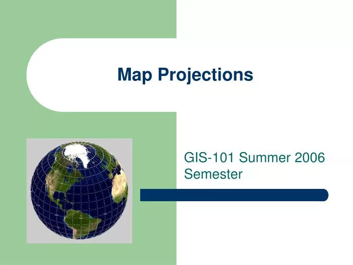
Map Projections GIS-101 Summer 2006 Semester
Important Things to Remember about Map Projections • An attempt to take location information from a spheriod object and transfer to a flat surface • As such, ALL projections are a distortion of the real world to some extent!
Attributes of Distortion • Shape • Size • Distance • Direction • Area
Map Projections versus Coordinate Systems • REMEMBER: Map Projections and Coordinate Systems are two different things!
Factors Associated with Map Projections • Scale • Map Units • Projection • Coordinate System • Datum
Map Scale vs Spatial Scale • 1:24,000 is a LARGER scale than 1:100,000 • e.g. 1/24,000 is a larger number than 1/100,000 • However, 1:24,000 however covers a smallerspatial scale than 1:100,000 (i.e. less area covered on a same sized map)
Examples of Projections • Robinson • Lambert Conformal Conic • Mercator • Transverse Mercator
Types or “Families” of Map Projections • Cylindrical • Conic • Azimuthal or Planar
Examples of Coordinate Systems • Latitude and Longitude (Geographic) • Universal Transverse Mercator • State Plane
Geographic Coordinate System • Latitude & Longitude • NOT a true “Projection”
UTM Grid • Uses Transverse Mercator projection • Units usually in meters • 60 Zones • 6 degrees per zone • “N” or “S” • Example:
State Plane • Uses either Lambert Conformal Conic (East-West States) OR Transverse Mercator (North-South States) Projections • Units usually in feet