Download
1 / 32
320 likes | 383 Views
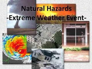
Access real-time METEOALARM operational maps for today and tomorrow providing weather warnings and natural hazards data. Obtain critical information on floods, coastal sea areas, and more. Feedback from users has led to system enhancements for improved usability and coverage. Stay informed and stay safe with METEOALARM.

E N D
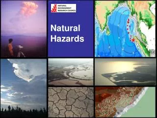
METEOALARM Weather and natural hazards warnings Michael Staudinger
Access to the METEOALARM Website Hits up to 12 Mio/day (~1 billion since start)
Feedback from users: • System well understandable both by professionals and public • Most common requests: • 1 Extension of warned parameters Flood forecasts Coastal sea area forecasts • 2 Direct input in other info systems RSS feeds, CAP etc. • 3 More participating countries (Eastern Europe) • 4 „Europe of regions“ • 5 Longer time periods for the warnings
Optimized Forecasts Combination of different input sources: Numerical Models Know How of the Forecasters INCA – Nowcasting tool Hydro model interface Hydro model
1.1 Decision team for „red“ (flood) • Senior forecaster (teamleader) • Hydrologist • Board of institution • Expert on climate conditions • Media expert • Civil protection
1.1 Flood forecasts Austria Rain and/or floods Flood warning for Carinthia: local floodings expected from the afternoon onwards << link Meteo Flood information: << link Hydro
1.2 Coastal sea area warnings • Experiences: • High number of accidents of weekend sailors & limited experience • Warning products already existing, but not known across boarders • Simple colour code brings attention for further info
2. Input in other Info systems: • RSS feeds • CAP
2. Input in other Info systems: • RSS feeds • CAP
2. More participating countries: Joined after project start • Operational: In technical preparation: • Slovakia Malta • Czech Republic Croatia • Slovenia Serbia • Poland Estonia • Romania Latvia
2. More participating countries: Necessities for new partners: • EUMETNET Council agreement • Agreement with national Civil Protection • Quality control • Quality assurance • Cooperation with the MeteoAlarm forecasters / expert group • Technical abilities (GIS / XML etc.)