Download
1 / 10
100 likes | 111 Views
Learn about the Global Navigation Satellite System (GNSS), including core constellations like GPS, GLONASS, and Galileo, augmentation systems like ABAS and SBAS, and spectrum implementation in aviation. Discover how multilateration and GNSS ranging work, as well as SBAS/GBAS implementation and future modernization plans.

E N D
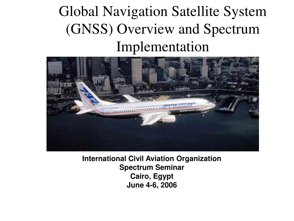
Global Navigation Satellite System(GNSS) Overview and Spectrum Implementation International Civil Aviation Organization Spectrum Seminar Cairo, Egypt June 4-6, 2006
Basic GNSS System • Core Constellations • GPS • GLONASS • Galileo (under development) • Augmentation Systems • Aircraft-Based Augmentation System (ABAS) • Space-Based Augmentation System (SBAS) • Uses geostationary satellites • India, Japan, Europe, US • Ground-Based Augmentation System (GBAS) • Ground-Based Regional System (GRAS)
a c b Satellite Navigation … Basically Multilateration Multilateration: By knowing your distance from at least 3 points of known-position, you can determine your own position. For Satellite Navigation: a, b & c are satellites, and a fourth is needed to solve for clock variations.
Actual Path Earth’s Ionosphere Assumed Path GNSS Ranging and Timing • Approach: tarrival – ttransmitted~ distance from satellite • Assumes straight path of radio frequency signals • Earth’s ionosphere actually disrupts/bends that path • Augmentations correct for that bend using dual-frequency measurements • Currently not possible directly in aircraft; some signals not protected.
Satellite Navigation’s MissionSBAS/GBAS Implementation SBAS/GRAS GBAS
Satellite Based Augmentation System (WAAS used as example) L1, L2 FAA288-021
Ground Based Augmentation System (GBAS) Architecture Pseudolite Pseudolite GBAS Reference Station (Integrity Accuracy Availability) Processor GNSS Receiver VHF Transmitter Monitor Status Pseudolite
Planned GNSS Modernization • Addition of satellite constellations • Galileo, additional GLONASS satellites • Improves user availability • Addition of civil signals • 1164-1215 MHz band • Facilitates user ionospheric corrections • Possible broadcast of integrity signal • May limit need for external augmentations • Increased power, improved coding • Better resistance to interference
Spectrum Issues • GNSS signals are very weak • ~ 50,000 times weaker than the minimum specified edge-of-coverage DME signal • Aviation spectrum managers must be constantly watching to ensure spectrum incursion from in-band/adjacent band systems does not cause interference. • One example: ITU Footnotes 5.355 and 5.359 • Allow fixed service in GNSS bands in some countries • Countries encouraged to remove their names from the footnotes.