Download
1 / 33
330 likes | 422 Views
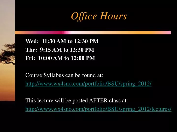
Office Hours. Wed: 11:30 AM to 12:30 PM Thr: 9:15 AM to 12:30 PM Fri: 10:00 AM to 12:00 PM Course Syllabus can be found at: http://www.wx4sno.com/portfolio/BSU/spring_2012/ This lecture will be posted AFTER class at: http://www.wx4sno.com/portfolio/BSU/spring_2012/lectures/.

E N D
Office Hours Wed: 11:30 AM to 12:30 PM Thr: 9:15 AM to 12:30 PM Fri: 10:00 AM to 12:00 PM Course Syllabus can be found at: http://www.wx4sno.com/portfolio/BSU/spring_2012/ This lecture will be posted AFTER class at: http://www.wx4sno.com/portfolio/BSU/spring_2012/lectures/
Climate ClassificationLesson 19 Climographs Köppen Classification System & Procedures Climate Controls
Climographs • Climographs, or climatic diagrams, provide an overview of climate at a certain location • Can span hours, days, months, but usually are a one year average • Months are listed along the bottom • Monthly temperature is shown as a solid line • Temperature scale along the left side • Monthly precipitation shown as bars • Precipitation scale along the right side
Climate Classification Purpose • Simplify the complexities that comprise the climate system • Summarize climate information • Schemes minimize the within group variability and maximize the between group variability • All locations within a group are very similar to one another, but different from other groups • Long-term shifts in climate boundaries • Climate variability • Biophysical impacts
Climate Classification Usefulness • Examine the expected weather patterns for climate based forecasting • What’s the upcoming winter going to be like? Lots of rain or lots of snow? • Long-term shifts in climate boundaries • Can we expect the “humid South” to shift north, changing Indiana’s climate over the next century?
Quantitative Classification: Köppen System • Developed first world “climate classification” in the 1870s • Hierarchical scheme • 15 types (e.g. Dfa) • Based on monthly data: • Temperature • Precipitation • Corresponds with biomes Wladimer Köppen (1846-1940)
Köppen System: Modified • Numerous modifications since inception • Most widely used—fairly simplistic • Defined the ecotone (or biome boundaries) Grassland-forest ecotone: Paraguay
Temperature-based A: Tropical B: Dry C: Mesothermal D: Microthermal E: Polar H: Highland Köppen System: ModifiedFirst-Order Divisions
Köppen System:Second-Order Divisions • Precipitation based • f: year-round rainfall • m: monsoon rainfall • s: summer dry season • w: winter dry season
Köppen System:Third-Order Divisions • Based on summer temperatures • a: hot summers • b: warm summers • c: cool/mild summer • Arid climate • h: hot and dry • k: cold and dry • Special: fog occurrence (n / n’)
Tropical Climates (A) Climate: Af
Mesothermal or Mild Climates (C) Climate: Cfa
Microthermal or Severe Midlatitude (D) Climate: Dfb
Polar Climates (E) Climate: ET
Climate Controls • Factors that govern local weather and climate • Five major controls of climate • Latitude and season • Water proximity (continentality) • Oceanic circulation • Semi-permanent pressure systems • Topography
Latitude: Insolation Variability • Variation in solar angle striking surface • Attenuation: depletion of solar rays
Latitude: Insolation Variability • Atmospheric path length varies due to the curvature of the earth
Earth-Sun Relationships • Rotation: spin of earth about its axis • Approximately 15 degrees longitude/hr • Daylight length
Water Proximity: Continentality • Influence of large land mass • Variable energy fluxes dependent on surface type and their respective specific heat capacities
Topography • Normal lapse rate: 6.5° C/km • Large diurnal temperature ranges at higher elevations. Why? • Varying insolation absorption rates • Orographic effects
Homework • For the climographs, please use English units • °F • in
Extra Credit #2 Postponed!