Download
1 / 25
250 likes | 557 Views
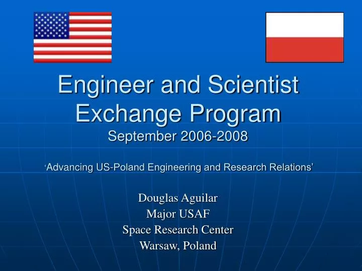
Engineer and Scientist Exchange Program September 2006-2008 ‘ Advancing US-Poland Engineering and Research Relations’. Douglas Aguilar Major USAF Space Research Center Warsaw, Poland. Assignment. Space Research Center (SRC)

E N D
Engineer and Scientist Exchange Program September 2006-2008 ‘Advancing US-Poland Engineering and Research Relations’ Douglas Aguilar Major USAF Space Research Center Warsaw, Poland
Assignment • Space Research Center (SRC) • Assigned in cooperation with the Air Force GPS Wings’ IIF program office, Los Angeles CA • September, 2006 to 2008 • Assigned to Geodesy Department as the resident GPS/EGNOS researcher http://www.cbk.waw.pl
Overview • Conferences • Networking • Research duties and projects • Next assignment
Conferences • ESEP Cologne GE • November 2006 • Presented overview of SRC and job duties • ESEP Warsaw PL • September 2007 • Organized all aspects of conference • Presented current research projects/results • Visited Space Research Center, Warsaw Military University of Technology, Warsaw Polytechnic University, Polish Air Force Institute of Technology and Warsaw Institute of Aviation
Conferences • 50th Anniversary of Space Age • October 2007 • Honorary guests: • John Hall - NASA Director for Export Control and Interagency Liaison. • Shannon W. Lucid - American astronaut. • Gerard Brachet - Chairman of Committee on Peaceful Use of Outer Space (UN). • Victor Ashe - U.S. Ambassador in Poland. • Michał Seweryński - Minister of Science and Higher Education of the Republic of Poland • Mirosław Hermaszewski - The first Polish astronaut. • Michał Kleiber - President of Polish Academy of Sciences. • Grzegorz Woźniak - Minister of Economy of the Republic of Poland. • http://www.ska.pw.edu.pl/konferencja/index_en.htm
Conferences • TransNav’ 2007 The 7th International Symposium on Navigation • June 2007 Gdynia PL • Presented "Accuracy Analysis of the EGNOS System During Mobile Testing“ • Published in TransNav’2007 publication,” Advances in Marine Navigation and Safety of Sea Transportation.” pp.115-119 • http://transnav.am.gdynia.pl/ • ESEP London • April 2008 • Presented data from, “Accuracy Analysis of the EGNOS System During Mobile Testing” • Presented data from Inertial Navigation testing with GPS • 1st International Conference on Information Technology • May 2008, Gdansk PL • Honorary guest fill-in for AFOSR/EOARD
ESEP Tour SRC ESEP conference Warsaw Poland
Networking • Visited Geodesy Satellite and Navigation department at University Warminsko-Mazury in Olsztyn PL • Gave WAAS presentation to: Michal Rzewuski • Michal Rzewuski- Head of Planning and Systems Development Division, ‘Polish Airports’ State Enterprise • Discussed benefits of WAAS and future use of EGNOS at European Airports • Met with EUROBETA’s Project Manager, Zaklina Pawlak • Discussed various automotive tracking systems available for commercial use and ways to improve implementation • Contacted Politechnic Univ. of Catalunya, Barcelona, Spain • Regarding article, “Performance Analysis of an INS/GPS Integrated System Augmented with EGNOS.” • “GPS: Past, Present and Future” presentation at the Polish Naval Academy in Gdynia, Poland
Research Duties • Tracking/Evaluating European Geostationary Navigation Overlay System (EGNOS) in Warsaw • Comparing GPS accuracy with/without EGNOS • Comparing EGNOS with WAAS performance/accuracy/availability • Use real time data from: • Warsaw RIMS station • ESA EGNOS tracking sites • FAA WAAS website • Research with newly acquired Inertial Navigation/Measuring Unit (INU/IMU) • Analysis of an INS/GPS integrated system augmented with EGNOS • Reviewed over 100 different INU/IMU systems available for purchase • SRC acquired new Microbotics MIDG series INU/IMU based on my recommendation
Research Projects • Accuracy Analysis of the EGNOS System During Mobile Testing • Three months of test and evaluation of EGNOS system • Accuracy and availability during mobile testing • Complete report with detailed results presented to the Telecommunications Institute • Benefits of INS/GPS Integration • Integrated new INS into mobile testing lab • Simulated GPS signal loss to determine INS position accuracy over time • INS Signal Noise Analysis • Analyzing data from Allan Variance test • Determining Bias Instability and Random Walk for INS accelerometers and gyroscopes • WAAS vs EGNOS comparison analysis • Compiling data from various sources • Finalizing report and editing
EGNOS • Objectives • Check accuracy corrections of the EGNOS (PRN 126) system against GPS signals • Compare integrity and availability of GPS and EGNOS (PRN 126) signals
EGNOS GPS+EGNOS (PRN 126) red line
EGNOS • Conclusions: • Availability in Warsaw • Analyzing 10 days of static testing has shown EGNOS availability at 98% of the time • Accuracy in Warsaw • Overall, EGNOS improved accuracy • Inconsistent, during some observations EGNOS did not improve GPS accuracy • Receiver used less satellites with EGNOS (A minimum of three RIMS stations need to monitor the same GPS satellite to provide EGNOS corrections)
INS/GPS • An inertial navigation system is a navigation aid that uses motion sensors to continuously track the position, orientation, and velocity (direction and speed of movement) of a vehicle without the need for external references • Benefits • INS complements GPS, aids in positioning solution in events of cycle slips and signal losses • Precise continuous positioning of a moving platform • Testing Objectives • Determine INS position accuracy during GPS signal loss • Determine if position accuracy improves with GPS+INS
INS/GPS • The MIDG II is a loosely coupled system
INS/GPS • Conclusions: • INS solution valid for about 20 seconds during GPS outages • INS + GPS did not significantly improve accuracy using the MIDG-INS, results varied • Y-axis for Nav was closer to kinematic solution than X-axis data
Allan Variance Test Allan Deviation Allan Variance
Next Job • Wright-Patterson AFB • Dayton Ohio • The National Air and Space Intelligence Center (NASIC) is the source of air and space intelligence for the Department of Defense (DoD) and produces integrated, predictive air, space and specialized intelligence to enable military operations, force modernization and policymaking.
NASIC • National Air and Space Intelligence Center • Duty Title: Chief, Requirements, Development and Reporting Branch • Description: Leads and directs 7 military, 14 civilians and 140+ contractor Engineers, scientists and technicians. Responsible for exploitation of $155M, multiyear research and development national intelligence system. • Deputy Program Manager for $260M, 8-year Measurement and Signature Intelligence (MASINT) exploitation contract with over 400 contractor personnel. Develops prototype capability to exploit national sensor data. Provides technical recommendations and transitions R&D breakthroughs to advanced sensor acquisition teams, including the $5.2B Space-Based Infrared System.