Download
1 / 12
120 likes | 203 Views
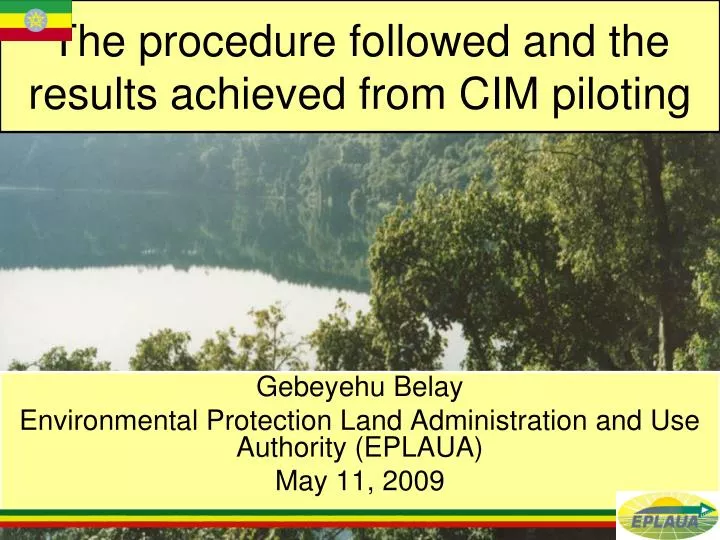
The procedure followed and the results achieved from CIM piloting. Gebeyehu Belay Environmental Protection Land Administration and Use Authority (EPLAUA) May 11, 2009. Points to be covered. Introduction ISLA printout Preparatory works Screen digitizing Approval by the committee

E N D
The procedure followed and the results achieved from CIM piloting Gebeyehu Belay Environmental Protection Land Administration and Use Authority (EPLAUA) May 11, 2009
Points to be covered • Introduction • ISLA printout • Preparatory works • Screen digitizing • Approval by the committee • Field check • Public hearing • Export to ISLA
Introduction • 3.6 million holdings • More than 16 million parcels • Second level book of holding requires plans to be attached • Speedy spatial data generation methods • CIM and provisional second level book of holding
ISLA printout • Printout of confirmed ISLA data in XL sheet • In alphabetical order • Parcel ID and names of bordering land users
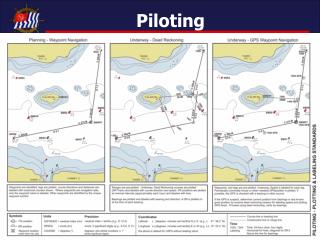
Preparatory works • Identification of Kebele/Woreda boundary using CSA senses map • Selection of the right type of image • Geo referenced and auto rectified • Subdividing in to manageable size • In-house training on methodology and software
Screen digitizing • Polygons are created • Familiarization • Easley identifiable reference points
Corrections together with the committee • Minimizes field work • Corrections can be made directly in to the computer • Errors can be minimized • Boundaries of CPRs • Manageable size for group discussion
Displays • Landholders can easily visualize maps • Can be used as communication tool • Convenient for landholders
Field check • Important especially for boundaries difficult to identify on the screen • Can be supported by field measurements • Parcel IDs and ISLA printout
Public hearing • Forum to inform the public about the survey result • Approval shall be given by the public • Minutes will be documented • Approval by the Woreda • Export to ISLA
Issues for further verification • The extent of shifts • Area • Variations due to topography • Ground control and transformation
Thank you So much