Download
1 / 10
• 130 likes • 210 Views
Multi-Radar Multi-Sensor Quantitative Precipitation Estimation (MRMS QPE) utilizes cutting-edge research and high-tech instrumentation to provide reliable precipitation information. It offers high-resolution data on various precipitation types, amounts, and quality indexes for enhanced accuracy in flood warnings and resource management.

E N D
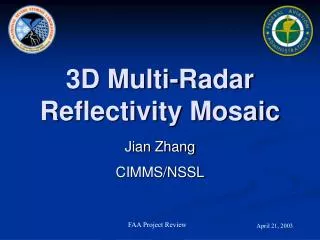
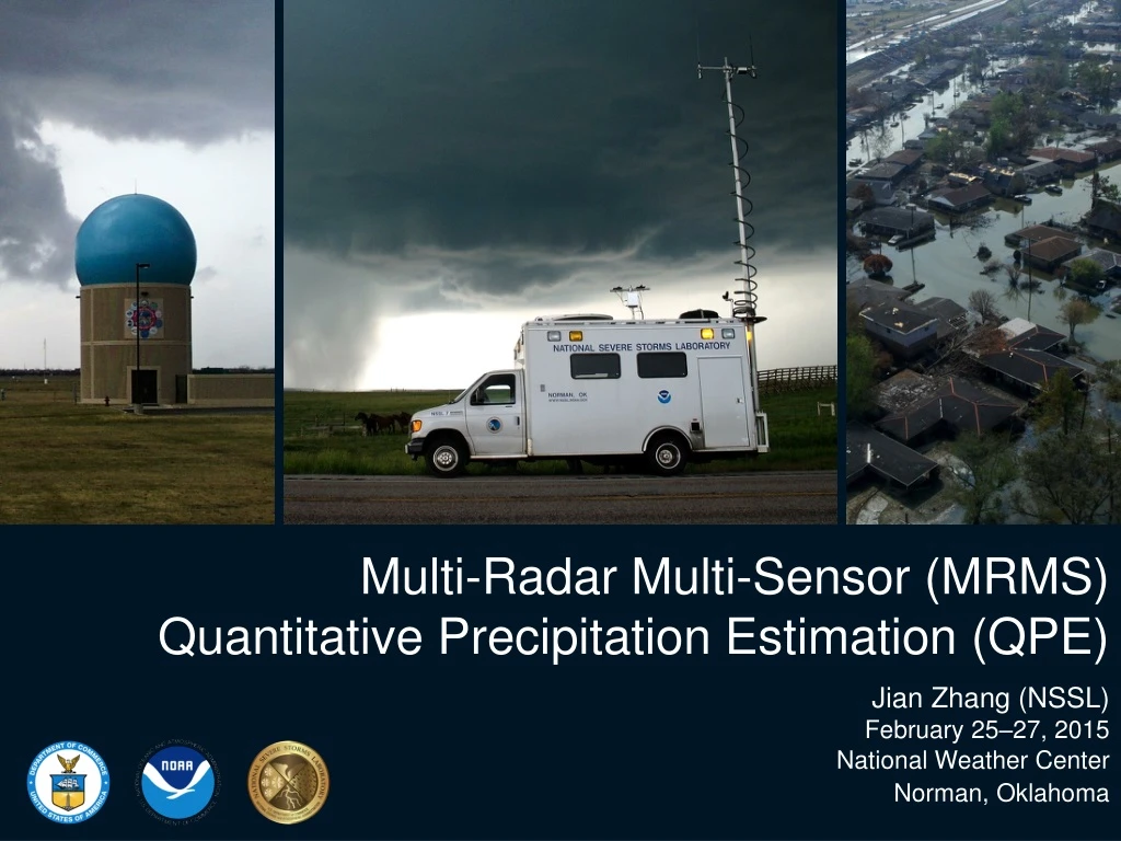
Multi-Radar Multi-Sensor (MRMS) Quantitative Precipitation Estimation (QPE) Jian Zhang (NSSL) February 25–27, 2015 National Weather Center Norman, Oklahoma
What is MRMS QPE? 1, 3, 6, 12, 24, 48and 72 hr accumulations • Radar QPE • Gauge QPE • Local gauge bias corrected radar QPE • Gauge + orographic pcp climatology QPE Associated with Radar QPE [1km x 1km, 2 min]: • Surface Precipitation Type • Surface Precipitation Rate • Radar QPE Quality Index (RQI) • other… Associated with Gauge QPE [1km x 1km, 1 hr]: RQI 18Z 6/13/2013 GII 23Z 2/2/2015 • Gauge Influence Index (GII)
Relevance Use cutting-edge research and high-tech instrumentation to provide citizens, planners, emergency managers and other decision makers with reliable information they need. • Uses most advanced polarimetric radartechnologies and provides high-resolution information of precipitation types and amounts for the nation • Products are used by WFOs, RFCs and private companies for flash flood and river flood warningsand water resources management Protect life andproperty and conserve and protect natural resources ~70 users from government agencies, universities, and private companies
Quality • Refereed publications: • 18 on MRMS QPE R&D; • 40+ on MRMS product applications Present “Q3” radar QPE 2009 “Q2” radar QPE Stage-II radar QPE Features Impacts Single-pol radar QC with environmental data Elimination of non-meteorological echoes Single-pol radar data quality control (QC) Dual-pol radar data QC Automated precipitation classification Automated precipitation classification More accurate spatial distributions of precipitation Probability of Warm Rain; Weighted mean of multi Z-Rs One Z-R per radar domain Five Z-Rs Mitigated range-dependent radar QPE error Vertical Profile of Reflectivity (VPR) correction Higher-resolution for flash flood and urban hydrology applications 4 km, 1 hr 1 km, 5 min 1 km, 2 min Operational in Sep. 2014
Performance (QPE) Stage-II radar only (4 km, hrly, ~ 1hr latency) MRMS radar only (1km, 2min, ~5 min latency) MRMS local gauge bias corrected (1km, ~1hr latency) Stage-IV (manual merging of multiple QPEs; 4-km, ~6-24hr latency)
What’s Next? R(Z) • Evaluate latest dual-pol radar QPE techniques across ConUS for all seasons R(A) R(Z) • Towards operational implementation in 2016-17. • Based on the evaluation, develop a new synthetic dual-pol radar QPE in MRMS (“Q3DP”). rain hail/rain mix melting layer/ice R(KDP) A: specific attenuation KDP: specific differential phase ZVPRC: reflectivity with vertical profile of reflectivity correction
Thank You! mrms.ou.edu