Download
1 / 16
180 likes | 390 Views
Balancing water for improving multireservoir system Operation using hydrological information: Integrated hydrological modeling special focus on Zambezi river basin. Agostinho Vilanculos Supervisors: - Prof. Denis Hughes (IWR, Rhodes University, SA)

E N D
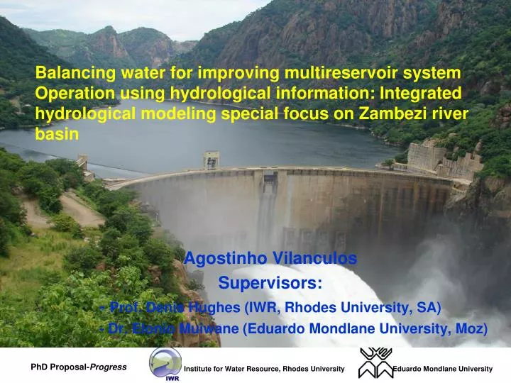
Balancing water for improving multireservoir system Operation using hydrological information: Integrated hydrological modeling special focus on Zambezi river basin Agostinho Vilanculos Supervisors: - Prof. Denis Hughes (IWR, Rhodes University, SA) - Dr. Elonio Muiwane (Eduardo Mondlane University, Moz)
Outline • Background - Related Previous Studies - Geographic Location - Surface Water Potential • Methodology • Preliminary finds • Further Studs • Questions and comments
PREVIOUS STUDIES IN THE STUDY AREA • Existing and applied Water Resources Systems: • Seasonal Rainfall Forecasting (Jessen, 2001); • Flood Watch Model (DHI, 2009); • Comparison of two model approaches in the Zambezi river basin with regard to model reliability and identifiably (Winsemius et al., 2006); • Impact of climatic Changes on hydrology (Asante and Vilanculos, 2009).
BACKGROUND: Problem and Motivation Problem statement: • 30 million in 2030 70 million • Pop. growth will increase water demand for agric. And energy • 80% population lives on rainfed agriculture • Irrigation potential more than 3 million ha only 5% are developed • Poor ground hydro-climatic monitoring infra-structures (Tumbare, 2004; Asante, 2007; FAO, 2007) Motivation: GIS-RS-Hydrologic Model tools Geographic Location
Water Resources Potential - Climatic and Hydrology Rainfall: Range from 570mm/year (Simi Arid Area central to 2190mm/year in East and North Hydrology: River and Discharge • Lukulo river - 4.1 km3/year • Zambezi river - 33.5 km3/year • Kafue river - 10 km3/year • Luangwa river - 22 km3/year • Shiri River - 16 km3/year • Kabora Bassa lake - 77.5 km3/year • Malawi Lake - 29 km3/year • Shiri Out flow to Moz- 12.5 km3/year Irrig. Potential, Water Requirement and area under irrigation Source: (Hungwe et. al;., 2000FAO, 2007 Tumbare, 2004).
Water R. Potential - Hydraulic Infrastructure Source: Zambezi River Authority
AIMS OF THE STUDY • Identify the interlinking between up and downstream WRMS. • Identify the relationship to be made between power generation and flood impacts downstream. • To develop a or no coordinated methodology for daily/monthly operating strategies in the Zambezi River Basin.
METHODOLOGY • Identification of current WRMS and Selection of an existing WRMS Framework • Use of a selected WRMS for: • Delineation of preliminary boundaries • Calculation of daily soil water balance and flow • Selection of the monitoring and calibration sites • Run preliminary model in various scenarios (with and without Dam discharges connected) and predicting the impacts downstream • Flood Risk Analysis at Downstream • Statistics Analysis
CASE STUDIES 1.Existing Water Resources Management Systems in the Zambezi River Basin - Quest.: What are the WRMS existing in the Study area? 2.Hydrological Scale in Hydrological Models • Quest.: How do different scale hydrological models link with each other? 3.Balancing water for power generation and for other users downstream - Quest.:What is the role of implementing of a muiltreservoir operation system on the integrated river basin management ?
EXPECTED RESULTS • Doctoral thesis in hydrology. • Knowledge on downstream implication from upstream operational reservoir in the Zambezi basin. • Knowledge on definition of optimal hydropower reservoir operation. • Guidelines on how well the multi-reservoir systems in series and parallels can be operated in beneficial main through integrated water resources system framework
Preliminary Results (1): WRMS- Seasonal Rainfall Forecasting • Manual method of counting takes a lot of time • it does not gives the quantity of rain for each sub-basin or for the all basin • Opportunity: The GIS Spatial Analyst tool offer an excellent functionality
Preliminary Results (2): WRMS - Mike Flood Watch Model • Advantage: Use of observed data • Disadvantages: • Designed for small catchments • Depends of the reader • Power Coverage (rain gauges) - Extreme events ( Floods and Droughts) Floods – Destroy infra-structures Droughts - concentrate in small rills away from the river gauges • Opportunities:RFE Satellite Data
Preliminary Results (3) :Potential Conceptual Model Produced Rainfall Evapotranspiration Land Cover/use DEM Soils Data http://edcdaac.usgs.gov/adds/africa . http://edcdaac.usgs.gov/gtopo30/hydro ftp://daac.gsfc.nasa.gov/data/. • Delineation of model boundaries • Preliminary calculation of flows
PRELIMINARY RESULTS (4): SELECTION OF CALIBRATION AND MONITORING SITES
Further Studs • Input data validation results are underway • Model calibration and preliminary results are underway • Creation of Dam Links Modules- Depending on historical data of upstream countries • Flood Risk Analysis • Hydrological Stochastic analysis
Thank you Questions and Comments?