Download
1 / 12
120 likes | 283 Views
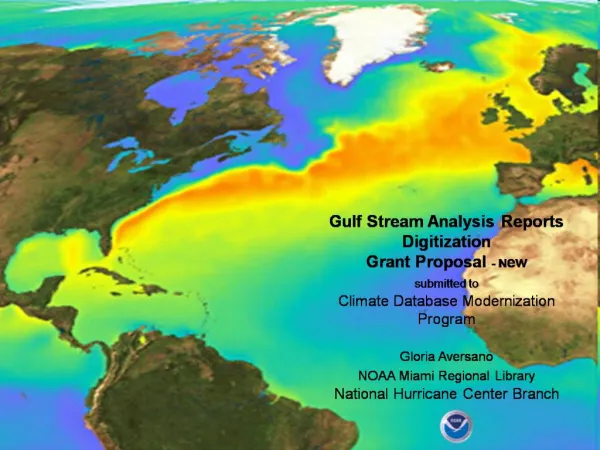
A Statistical Analysis of Gulf Stream Variability from 18+ Years of Altimetry Data. John Lillibridge 1 and Arthur Mariano 2 1 NOAA Laboratory for Satellite Altimetry NOAA/NESDIS/STAR 2 Rosenstiel School of Marine & Atmospheric Science University of Miami.

E N D
A Statistical Analysis of Gulf Stream Variability from 18+ Years of Altimetry Data John Lillibridge1 and Arthur Mariano2 1 NOAA Laboratory for Satellite Altimetry NOAA/NESDIS/STAR 2 Rosenstiel School of Marine & Atmospheric Science University of Miami Rossby Symposium • URI/GSO • 10 November 2011
Topex/Jason Reference Tracks Oleander Line Pegasus Line Pass 50 Pass 228 Rossby Symposium • URI/GSO • 10 November 2011
Altimetry 101 Range ~ Orbit ~ 1300 km Orbit - Range = Surface Height ~ 100 m (10-4): Geoid & MSS Sea Surface - Geoid ~ 1 m (10-2): Dynamic Topography SSH = Instantaneous Sea Surface - Geoid Orbital Height Range = Travel Time/2c SSHA = Instantaneous - Mean Sea Surface (SLA) ≈ ≈ Instantaneous Sea Surface Height SSHA Mean Sea Surface SSH Geoid Reference Ellipsoid meters
Topex SSH vs. SSHA on Track #50 Oleander Synthetic SSH Rossby Symposium • URI/GSO • 10 November 2011
Topex/Jason-1 & Jason-1/Jason-2 Tandems 14-Jul-2002 23-Jul-2008 Rossby Symposium • URI/GSO • 10 November 2011
Interannual Variability in SSH • Hovmöller diagram of SSH: 1992-2011 • ALL Alongtrack 1 Hz values from TX/J1/J2 • 25 cm contour good proxy for N. Wall position • N. Wall migrates ~1.5° from 36°-38.5°N • Interannual variability in SSH also evident • Oleander N. Wall positions based on SST • Correlates well with altimetry from 1992-2004 • GS position generally lags smoothed NAO Rossby Symposium • URI/GSO • 10 November 2011
Computing DSSH from SSH profiles Rossby Symposium • URI/GSO • 10 November 2011
Seasonal Variability over 18+ Years DSSHA & DSSH vs. Year Day Average GS Position vs. Year Day Based on latitudinal averages Based on min/max values • DSSH & DSSHA seasonal amplitude of 18 cm • Gulf Stream Position varies +/- 0.1° • Maximum height difference in Fall when GS is furthest South • Interannual variability causes large scatter about the seasonal variations • Relationship between height differences and position changes lead to hysteresis loops Oleander North Wall Positions from Rossby & Gottlieb, 1998 Based on latitudinal averages Based on min/max values Latitude Month Rossby Symposium • URI/GSO • 10 November 2011
DSSH Principle Component Analysis • EOF “seasonal” modes (top) • Principal component “interannual” amplitude time series (bottom) • First (solid) & Second (dashed) modes • DSSH first mode: seasonal peak in Fall • Interannual variability comparable for first two prinicpal component modes • Two modes explain ~ 50% of variance • Indicative of ‘pink’ system with energy spread over broad band of time scales Month Year Rossby Symposium • URI/GSO • 10 November 2011
Conclusions • SSH Hovmöller diagram illustrates large interannual variability over 18 years • Gulf Stream N. Wall moves 1-2° in latitude, sometimes for several years • SSH variations of tens of cm on both Sargasso & Slope Water sides • Altimetry transect compares well with time series from M/V Oleander • “Seasonal” variations in height difference ~ 10 cm with Fall maximum • DSSH correlated with movement of Gulf Stream: annual hysteresis plots • Difficult to estimate seasonal signal in presence of interannual variations • Aliasing of energetic short time scales – diurnal cycle? Rossby Symposium • URI/GSO • 10 November 2011
EN-194: The Movie Rossby Symposium • URI/GSO • 10 November 2011
One more thing… “Speak softly and carry a big tube; you will go far” H. Thomas Rossby - inventor of the RAFOS float Now presenting the next generation of Lagrangian technology: RAFOS-NANO ! Rossby Symposium • URI/GSO • 10 November 2011