Download
1 / 11
110 likes | 320 Views
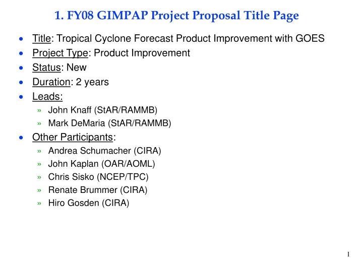
1. FY08 GIMPAP Project Proposal Title Page. Title : Tropical Cyclone Forecast Product Improvement with GOES Project Type : Product Improvement Status : New Duration : 2 years Leads: John Knaff (StAR/RAMMB) Mark DeMaria (StAR/RAMMB) Other Participants : Andrea Schumacher (CIRA)

E N D
1. FY08 GIMPAP Project Proposal Title Page • Title: Tropical Cyclone Forecast Product Improvement with GOES • Project Type: Product Improvement • Status: New • Duration: 2 years • Leads: • John Knaff (StAR/RAMMB) • Mark DeMaria (StAR/RAMMB) • Other Participants: • Andrea Schumacher (CIRA) • John Kaplan (OAR/AOML) • Chris Sisko (NCEP/TPC) • Renate Brummer (CIRA) • Hiro Gosden (CIRA)
2. Project Summary • GOES data is utilized in several operational TC products • NCEP/TPC SHIPS statistical intensity model • NCEP/TPC Rapid Intensity Index (RII) • NESDIS annular hurricane index • NESDIS TC formation probability product • Project will focus on the improvement of these products • SHIPS • Extend the GOES database back to 1982 for predictor development • Reformulate model to eliminate “correction” step due to short GOES time series • RII • Examine inner core propagation of cold cloud top features as precursor to rapid intensification • Annular hurricane index • Evaluate real time runs (independent cases) • Test new discriminators • TC formation product • Examine time series of GOES WV imagery for upstream predictors • Extend product from 1 to 3 days with additional GFS and time series input
3. Motivation/Justification • Supports NOAA Mission Goal: Weather and Water • Improved intensity forecasting identified as high priority in NOAA and NCEP/TPC • Intensity forecast skill still lags that of track forecasting • Unanticipated rapid intensity changes are a major problem for coastal evacuations • TC genesis forecasting capabilities are very limited
4. Methodology • SHIPS model • Add 1982-1994 cases from CIMSS to developmental database • Modify SHIPS formulation to eliminate correction step • Check for new predictors and test on independent cases • Implement operationally at NCEP/TPC if successful • RII • Develop complex principal component technique to objectively track inner core propagating features from GOES • Test as precursor to rapid intensification • Coordinate with AOML and TPC to test utility in operational RII • Implement in operations if successful • Annular Hurricane Index • Evaluate real-time runs and test new discriminators • Modify real time code if successful (part of the SHIPS model) • TC Formation Product • Obtain databases of tropical-strip WV imagery and GFS forecast fields • Perform time series analysis and objective TC trackers for the GFS • Investigate longer lead probability forecasts
5. Summary of Previous Results • GIMPAP funding used to develop TC IR database • Partially supported initial implementation of GOES predictors in SHIPS and the RII • GOES predictor coefficients updated for 2007 • Supported the research and development for the TC formation probability product • TC IR database utilized in the annular hurricane index • Annular hurricane index implemented at TPC for 2007 • AHI Manuscript accepted for publication, July 2007
Annular Hurricane Index Example: Daniel 2006 7/20/06 0Z, vmax=95 kt AHI = 0 7/22/06 0Z vmax = 130 kt AHI = 100 6 7/21/06 0Z, vmax=120 kt AHI = 50
6. Expected Outcomes • SHIPS • New version implemented at TPC with improved GOES input • RII • New version implemented at TPC with improved GOES input • Annular hurricane index • Real time product evaluated and skill determined • Real time product updated based on research results • Paper published on AHI • TC formation product • Longer-range product tested and evaluated for skill • PSDI-proposal submitted for transition to NESDIS operations • Paper published on formation product
7. Major Milestones • FY08 • Add 1982-1994 GOES imagery to SHIPS database • Begin reformulation of SHIPS model to eliminate correction step • Begin development of complex PC method for rapid intensification study • Verify annular hurricane index from 2007 cases • Begin investigation of new AHI predictors • Assemble GOES WV and GFS databases for TC formation product • Begin analysis of WV and GFS data for predictive content • FY09 • Implement new version of SHIPS at NCEP/TPC if appropriate • Test RII predictive information from complex PC analysis • Coordinate with AOML and TPC on modifications to operational RII • Coordinate with CIMSS on new SHIPS/RII predictors • Coordinate with AOML and TPC on RII modifications • Implement updated AHI in operational SHIPS, as appropriate • Test extended range TC formation product
8. Funding Profile (K) • Summary of leveraged funding • NESDIS base funding support for J. Knaff and M. DeMaria • CIRA infrastructure support • GOES-R3 hardware and computer support
9. Expected Purchase Items • FY08 • (90K): 11 months of Res. Sci./Res. Assoc. support (3 people) from 5/08 to 5/09 • (2K): Travel to scientific meeting • (2K): Publication charge • FY09 • (95K): 11 months of Res. Sci./Res. Assoc. support (3 people) from 5/09 to 5/10 • (2K): Travel to scientific meeting • (2K): Publication charge