Download
1 / 27
270 likes | 417 Views
Geography controlled study 2016. How do the characteristics of a river change as it flows down stream?. Example of a front page. Title :How do the characteristics of a river change as it flows down stream? A case study of Debden Brook in Epping forest. Use Google image Find a picture of

E N D
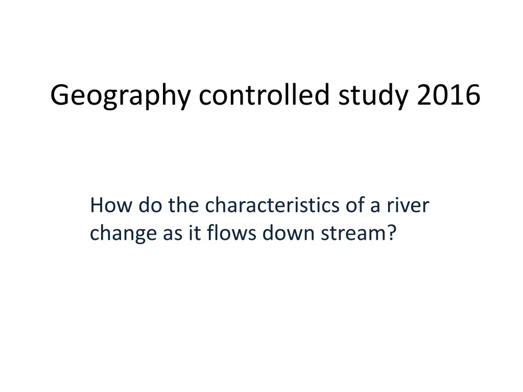
Geography controlled study 2016 How do the characteristics of a river change as it flows down stream?
Example of a front page Title :How do the characteristics of a river change as it flows down stream? A case study of Debden Brook in Epping forest Use Google image Find a picture of Debden brook For the front page • Name • Centre name - Friern Barnet school • Centre Number - 12234 • Candidate Number -
The chapters in the controlled study 1) Introduction Title page, location & maps, hypotheses or prediction, theory 2) Methodology A detailed description of how you collected all of the data 3) Results Tables, graphs and labelled photos 4) Analysis and Conclusion A description of your results and how they relate to the hypothesis 5) Evaluation An explanation of how valid your conclusion is
Contents Page Chapter 1 – Introduction pages …….. Chapter 2 – data Collection pages .......... Chapter 3 – Results pages................ Chapter 4 – Analysis & Conclusion pages .... Chapter 5 – Evaluation pages..............
Guidance for a possible opening paragraph We went to Debden brook because ....... It is close to our school reducing the journey time and cost It is not too influenced by humans (flood management etc) so we were more likely to get more validity to our results It is relatively safe to take river measurements here as the river is not too deep or fast flowing There was a field study area close by that we were able to use
You need to describe the location of your study area • Explain where Debden Brook is • Maps (3) – A range of different scales. Show the brook close up, the Epping forest area on the edge of London/Essex and Greater London or the South East. (See the field centre maps). All maps – annotated. • Aerial Photos – annotated • Include the information about the Geology of Epping forest
Location: Where is the study area? • Epping forest: Ancient wood land/ Border of Essex and NE London • The forest stretches about 12 mile from Essex to The East end of London/about 3 miles wide in places. • Epping forest is on a long hill or Ridge. One of the highest points in London. • The area is steep sided and consists of gravel, too steep and stony for farming or building on. • Refer to print out for information on Epping forest • Google the area – describe where it is
Debden brook and the river Roding • Debden brook is a small stream that flows roughly eastward off the ridge and into the River Roding, which goes into the Thames. • Very gentle gradient. Source in Epping forest. • Then flows through urban areas, mainly housing. • Refer to print out on Debden Brook/Epping forest for more detail use the sheet to write a description of the location. Select pieces from the different descriptions.
Location: Where is Epping Forest? Epping Forest is an area of ancient woodland in south-east England, straddling the border between north-east Greater London and Essex. It is a former royal forest, and is managed by the City of London Corporation. It covers 2,476 hectares (6,118.32 acres) and contains areas of woodland, grassland, heath, rivers, bogs and ponds, and most of it is a Site of Special Scientific Interest. Stretching between Forest Gate in the south and Epping in the north, Epping Forest is approximately 19 kilometres (12 mi) long in the north-south direction, but no more than 4 kilometres (2.5 mi) from east to west at its widest point, and in most places considerably narrower. The forest lies on a ridge between the valleys of the rivers Lea and Roding; its elevation and thin gravelly soil (the result of glaciation) historically made it unsuitable for agriculture. It gives its name to the Epping Forest local government district which covers part of it. Location : Example 1 Where is Debden brook? Our study was located in Epping Forest, which is located in the suburbs of North East London, on the border with Essex. The forest is located two miles from the M25 (Junction 26), four miles from M11 (Junction 5) and two miles from Central Line tube at Loughton station. The source we studied was called Debden Brook which is in Epping Forest which is eight-thousand acres, twelve miles long and five miles wide. Epping Forest is a ridge of high land between the River Lea and River Roding’s drainage basins (an area of land drained by a river and its tributaries). It is an area of ancient woodland, furthermore, it is a former royal forest, and is managed by the City of London Corporation. It covers 2,476 hectares and contains woodland, grassland, rivers, bogs and ponds. Embankments of two Iron Age camps- Loughton Camp and Ambresbury Banks- can be found hidden in the woodland. It gives its name to the Epping Forest local government district which covers part of it. Location: Example 2 Where is Debden brook? The river covered in this case study is named Debden Brook and its source is located in Epping Forest. It is near the watershed between the River Lea and the river Roding. The forest It is roughly 8000 acres in area (12 miles in length and 4 mile wide). Debden Brooke is a tributary of the River Thames (flowing into it from a southern direction). It is roughly 30-60 metres above sea level. Debden Brooke is located on ground that consists of impermeable rock (London Clay). A river flows over it because the water cannot flow through the ground. Deeper in the ground there is also a number of chalk deposits. These two materials are present under the whole of the London area. Gravel can also be found on top of the “London Clay” deposits. The extra layers formed a number of hills (i.e. the Hill where Epping Forest is located). What is the Shape of the land like in Epping forest? : Example 3 This part of north East London has gentlegradients. Most of the area is between 30 and 60 metres above sea level. Close to the river Thames the is about 10 metres above sea level. Epping Forest is on a very high compared to the rest of the area (about 115 metres above sea level). A high percentage of the rivers in North London flow in a southerly direction, like Debden Brook. All of the rivers in North London are tributaries of the Thames.
Where is Debden brook and what is it like? : Example 4 The river we are studying is called Debden Brook and its source starts from Epping Forest, which 115 metres above sea level and is the watershed between the River Lee and Debden Brook. All in all, the entire area of Epping Forest of is 8,000 acres in size; being 12 miles long and about 3 miles wide. Debden Brook is a river that is part of North London meaning that it is a tributary, which flows in a Southerly direction into the River Thames. The gradient of London Rivers is very gentle meaning that most of the London suburbs are between 30-60 metres above sea level. The ground in which Debden Brook flows on is made up of the impermeable (water cannot pass easily through it) rock known as London clay. These clay deposits can be up to 55 million years old, reaching heights of between 10m thick in North London to 120 metres thick nearing the Thames. Underneath these clay deposits, there lies a layer of chalk. These layers of clay and chalk stretch right underneath London. There are also some layers or deposits of gravel on the top of the clay layers. This extra layer leads to the formation of the higher hills in North London (for example, Harrow-on-the-Hill, Barnet Hill and even Epping Forest itself).
Fig .. Map to show the location of the study area Debden Brook Site 1 Site 2 Site 3
Site descriptions Site 1: • V-shaped Valley • Vegetation around river • Meandering • Settlement, residence or housing • River cliffs • Narrow stream • Pipeline from road drain • Heavily vegetated on northern bank • Steep cliff on southern bank • Slight slip-off slope Site 2: • Steep southern cliff • Heavy vegetation • Wide flood plain • Deep pool slows surface velocity • V-shaped valley • Quiet residential housing, fenced off, close by • River is further from main road Site 3: • Debden Brook flows to River Roding • Confluence Debden brook to River Roding • Huge flood plain creates a meadow • Flat low-lying land • Flats build higher to raise above flood plain • No contour lines • High possibility of flooding.
Copy & paste into your work You will need to find aerial pictures or satellite images of the area as we need to use GIS in the controlled study
Fig... A satellite picture to show the location of the study area Debden Brook Site 1 Site 2 Site 3
Copy & paste into your work This will need annotation (see the next slide)
Figure ... The location of the study area and the drainage of the area Epping Forest The woodland area on a high ridge of land which is a watershed between the 2 rivers ( Lea & Roding ) The M25 Motorway On the edge of London and essex The Roding Valley. The M11 follows the natural route of the river The Lea Valley The River Roding Flows south into the Thames The River Lea and the River Roding are tributaries of the Thames The river Thames
Copy & paste into your work This will need annotation (see the next slide)
Fig .. The geology of the area The impermeable clay layer. Gravel deposits at the top of the hill The rain water infiltrates through the gravels and meets the clay and then comes to the surface as a stream
Include the background information on the drainage basin that Epping Forest is in Features of the drainage basin that Loughton Brook is in. • A drainage basin is an area of land drained by a river and its tributaries. Debden brook and the River Roding are part of the Thames basin • The Boundary between basins is called the watershed. The high ridge of land which Epping forest is on is a Watershed between the R Roding and the R Lee. • The point where a river begins is called the source. The source of Debden brook was observed in Epping forest near the field centre. It was dry because of a low water table. • A small stream that flows into a big river is called a tributary. Debden brook and the river Roding are tributaries of the Thames • When two rivers meet it is called a confluence. There was a confluence between sites 1 and 2 where Pyrlers brook met Debden brook. There are many tributaries and confluences in the Epping forest area.
Cross profile shows the width & depth of the river
How should a river change as you move downstream? • Width: The width, depth and wetted perimeter of Debden brook should increase downstream…. This is because…there is an increase in erosion wearing away the channel, also more water added by tributaries as the river flows down stream. • Gradient: The gradient (steepness of the slope) of Debden brook should decrease down stream…Because at first the river erodes downwards (vertically) later it erodes sideways (Laterally) making the gradient more gentle. • Velocity: The velocity of the stream should increase downstream…because as the channel gets larger there is less contact and friction with the bed and banks to slow it down. • The Discharge: The discharge of Debden brook (amount of water in the channel) should increase downstream…because there is more water in the channel added by tributaries down stream. • The Size of the Bed load (particles in the river) should decrease in and the shape get rounder and smoother…because the particles get eroded down stream by abrasion and attrition as they are carried along by the river.
Width: The width of Loughton brook should increase downstream…. This is because…There is an increase in erosion / There is more water added by tributaries down stream. • Depth: The depth of Loughton brook should increase... Same as above • Wetted Perimeter: The wetted perimeter should increase… As the width and depth increase the perimeter will also increase • Gradient: The gradient of Loughton brook should decrease…Because at first the river erodes downwards ( Vertically) later it erodes sideways(Laterally) making the gradient more gentle. • Velocity: The velocity of the stream should increase…because as the channel gets larger there is less contact and friction with the bed and banks to slow it down. • The Discharge: The discharge should increase…because there is more water in the channel added by tributaries down stream. • Size of Bed load (stones in the river): The bed load should decrease in size…because the particles get eroded down stream by abrasion and attrition . • Shape of Bed load: The shape of the bed load should get rounder and less angular…same as above Pg 97
We need to gather primary data • For our results, we have to include data you helped to collect, this is called primary data. • We cannot just use existing data for our results, e.g. from a book or the internet, this is secondary data. • We will need to carry out a field trip to Epping forest field centre to collect this primary data.
Background on the webHome learningRead over this work as preparation http://folders.bchs.essex.sch.uk/subject/geography/coursework.htm
Background on the webHome learningRead over this work as preparation http://folders.bchs.essex.sch.uk/subject/geography/coursework.htm