Download
1 / 5
70 likes | 604 Views
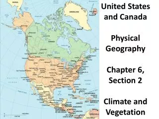
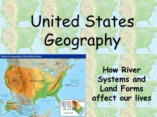
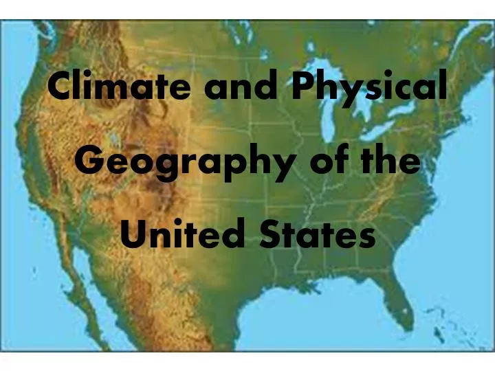
Climate and Physical Geography of the United States. Landforms and Resources. The United States ranks 3 rd in the world for largest land mass. (1 st : Russia, 2 nd : Canada) It stretches from the Atlantic Ocean to the Pacific Ocean, and from the Arctic Ocean to the Gulf of Mexico.

E N D
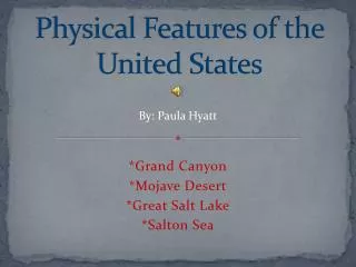
Landforms and Resources • The United States ranks 3rd in the world for largest land mass. (1st: Russia, 2nd: Canada) • It stretches from the Atlantic Ocean to the Pacific Ocean, and from the Arctic Ocean to the Gulf of Mexico. • The US has very fertile soil, large supplies of fresh water, large mineral deposits and forest areas.
Eastern Lowlands • Atlantic Coastal Plain • Along Eastern coast from northeastern corner to Florida. • Gulf Coastal Plain • Along the Gulf of Mexico, along the coasts of Florida, Alabama, Mississippi, Louisiana, and Texas.
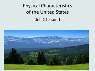
Appalachian Highlands • Appalachian Mountains • West of the coastal plain • Extend 1600 miles from Newfoundland to Alabama • More than 400 million years old • Includes the Green, Catskill, Blue Ridge, and Great Smoky Mountains Green Mountains in Vermont Great Smoky Mountains