Download
1 / 13
130 likes | 137 Views
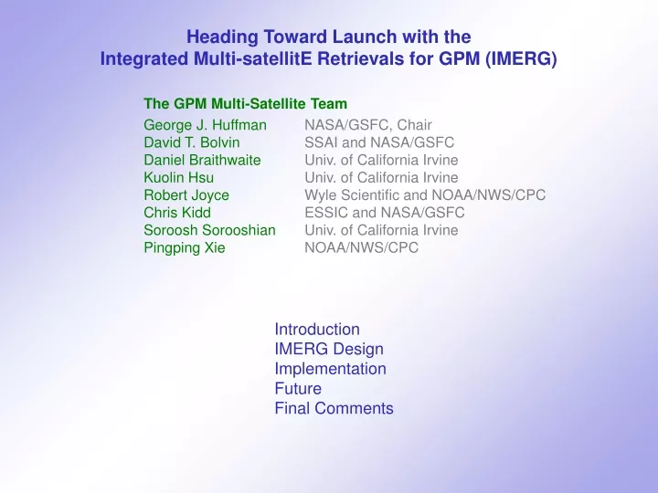
Heading Toward Launch with the Integrated Multi-satellitE Retrievals for GPM (IMERG) The GPM Multi-Satellite Team George J. Huffman NASA/GSFC, Chair David T. Bolvin SSAI and NASA/GSFC Daniel Braithwaite Univ. of California Irvine Kuolin Hsu Univ. of California Irvine

E N D
Heading Toward Launch with the Integrated Multi-satellitE Retrievals for GPM (IMERG) The GPM Multi-Satellite Team George J. Huffman NASA/GSFC, Chair David T. Bolvin SSAI and NASA/GSFC Daniel Braithwaite Univ. of California Irvine Kuolin Hsu Univ. of California Irvine Robert Joyce Wyle Scientific and NOAA/NWS/CPC Chris Kidd ESSIC and NASA/GSFC Soroosh Sorooshian Univ. of California Irvine Pingping Xie NOAA/NWS/CPC Introduction IMERG Design Implementation Future Final Comments
1. INTRODUCTION Individual precip estimates, present various • periods of record • observing times • regions of coverage • sensor-specific strengths and limitations Combined datasets are critical to non-expert users GPM wants to combine “all” precipitation-relevant satellites
1. INTRODUCTION The GPM multi-satellite product goals: • seek the longest, most detailed record of “global” precip - don’tuse regional data sets - do use gauge data • combine the input estimates into a “best” data set - not a Climate Data Record - relatively uniform input data
1. INTRODUCTION – Combination Concepts The “good stuff” (microwave) is sparse • 30 min has lots of gaps • extra gaps due to snow in N. Hemi. • 4 imagers (2 more getting ready), 3 sounders Aqua AMSR-E F15 SSMI N17 AMSU Aqua AMSR-E TMI F13 SSMI F14 SSMI TCI N16 AMSU 30-min HQ Precip (mm/h) 00Z 15 Jan 2005 N15 AMSU N15 AMSU N17 AMSU IMERG is a unified U.S. algorithm that takes advantage of • Kalman Filter CMORPH (lagrangian time interpolation) – NOAA • PERSIANN with Cloud Classification System (IR) – U.C. Irvine • TMPA (inter-satellite calibration, gauge combination) – NASA • all three have received PMM support
2. IMERG DESIGN – Requirements/Goals Resolution – 0.05°~0.1° [i.e., roughly the resolution of microwave, IR footprints] Time interval – 30 min. [i.e., the geo-satellite interval, then aggregated to 3 hr] Spatial domain – global, initially covering 60°N-60°S Time domain – 1998-present; later explore entire DMSP era (1987-present) Product sequence – early sat. (~4 hr), late sat. (~12 hr), final sat.-gauge (~2 months after month) [more data in longer-latency products] Sensor precipitation products intercalibratedto TRMM before launch, later to GPM Global, monthly gauge analyses including retrospective product – explore use in submonthly-to-daily and near-real-time products Error estimates – still open for definition Embedded data fieldsshowing how the estimates were computed Precipitation type estimates – liquid, mixed, solid Operationally feasible, robust to data drop-outs and (strongly) changing constellation Output in HDF5 v1.8 – compatible with NetCDF4 Archiving and reprocessing for near- and post-RT products
2. IMERGE DESIGN – Multiple Runs Multiple runs serve different users’ needs for timeliness • more delay usually yields a better product • pioneered in TMPA Early – first approximation; flood, now-casting users • current input data latencies at PPS support ~4-hr delay • truly operational users (< 3 hr) not well-addressed Late – wait for full multi-satellite; crop, flood, drought analysts • driver is the wait for microwave data for backward propagation • expect delay of 12-18 hr Final – after the best data are assembled; research users • driver is precip gauge analysis • GPCC gauge analysis is finished ~2 months after the month
2. IMERG DESIGN – Processing Institutions are shown for module origins, but • package will be anintegrated system • goal is single code system appropriate for all three runs • “the devil is in the details” GSFC UC Irvine CPC 3 Compute even-odd IR files (at CPC) 9 IR Image segmentation feature extraction patch classification precip estimation 1 Receive/store even-odd IR files 4 Compute IR displacement vectors 10 2 Build IR-PMW precip calibration Import PMW data; grid; calibrate; combine 5 Forward/backward propagation w/ GMI 6 Forward/backward propagation w/o GMI 11 Recalibrate precip rate w/o GMI w/ GMI 12 Import mon. gauge; mon. sat.-gauge combo.; rescale short-interval datasets to monthly 8 7 Apply Kalman filter Build Kalman filter weights Post-RT 13 RT Apply climo. cal. prototype5
2. IMERG DESIGN – Data Fields Output dataset includes intermediate data fields • users and developers require • traceability of processing, and • support for algorithm studies 0.1° global CED grid • 3600x1800 = 6.2M boxes • fields are 1-byte integer or or scaled 2-byte integer / 4-byte real • but dataset compression means smaller disk files • PPS will provide subsetting “User” fields in italics, darker shading
3. IMPLEMENTATION – Testing “Baseline” Version 2 code delivered November 2011 “Launch-ready” code is due November 2012 Code will “freeze” in June 2013 for operational testing Plan to bring up IMERG first in (more-flexible) PPS RT system • shake out bugs and conceptual problems • start quasi-operational production of “proxy” GPM data • likely we can release parallel products Use lessons learned to upgrade the production code PMM focus on validation is key • refine physical concepts • demonstrate level of confidence
3. IMPLEMENTATION – Transitioning from TRMM to GPM IMERG will be computed at launch (February 2014) with TRMM-based coefficients About 6 months after launch expect to re-compute coefficients and run a fully GPM-based IMERG • compute the first-generation TRMM/GPM-based IMERG archive, 1998-present • all runs will be recomputed for the entire data record • when should we shut down the TMPA legacy code? Contingency plan if TRMM ends before GPM is fully operational: • institute climatological calibration coefficients for the legacy TMPA code and TRMM-based IMERG • continue running • particularly true for Early, Late
FUTURE – Outstanding Issues snowy/icy places that people live polar regions in general High-quality estimates in snowy/icy regions • not yet operational • when snow estimates appear, we hope they will work with legacy sensors, at least back to the start of AMSU in 2000 3-hr HQ Precip (mm/h) 00Z 15 Jan 2005
4. FUTURE – What Next? The clear goal for Day-1 is operational code meeting GPM deadlines; after that … • implement a high-latitude scheme - develop high-latitude precip estimates - calibration schemes for high-latitude precip estimates - leo-IR–based displacement vectors - parallel observation-model combined product • use sub-monthly (daily, pentad, or dekad) gauge analyses • refined precipitation type estimates • alternative scheme for computing displacement vectors • address cloud growth • convective/stratiform classification • address orographic enhancement • error estimates - bias and random - scale and weather regime dependence - user-friendly formats and cutting-edge science • intercalibrate across sensors with different capabilities • revise precipitation gauge wind-loss corrections science project possible model input science project science project science project science project science project
5. FINAL COMMENTS The Day-1 GPM multi-satellite precipitation algorithm is planned as a unified U.S. algorithm IMERG will provide fine-scale estimates with three latencies for the entire TRMM/GPM era The system is planned to meet GPM requirements and to provide the hooks for future extensions There are still lots of interesting combination and science projects to address george.j.huffman@nasa.gov