Download
1 / 41
410 likes | 631 Views
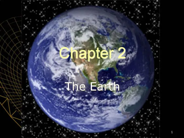
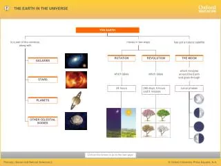
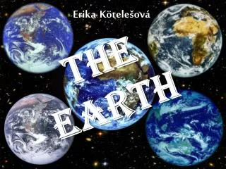
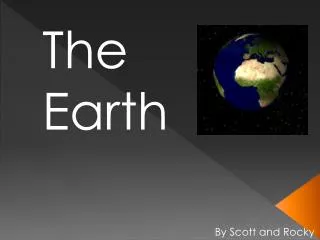
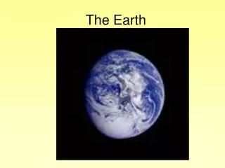
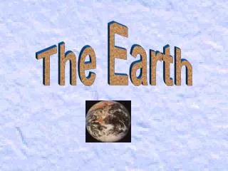
The Earth. Interior. Crust. layer of rock that forms Earth’s skin includes dry land and ocean floor most places 5- 40 km thick in a few places, under mountains, can be as thick as 70 km similar to skin of onion. Mantle. made of hot rock, but solid nearly 3000km thick three regions:

E N D
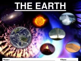
The Earth Interior
Crust • layer of rock that forms Earth’s skin • includes dry land and ocean floor • most places 5- 40 km thick • in a few places, under mountains, can be as thick as 70 km • similar to skin of onion
Mantle • made of hot rock, but solid • nearly 3000km thick • three regions: • Lithosphere • upper part • similar to crust- rigid • 100km • Asthenosphere • hotter and ↑ pressure • like soft tar • Lower Mantle • Hotter, but still solid
Core • made mostly of iron and nickel • two parts: • liquid outer core • solid inner core • heat has melted metals in outer core • pressure in inner core is so great molecules cannot spread out to the liquid formation • this results in the metals being forced into the solid state • recent evidence has shown inner core may contain O, S, Si
Earth’s Magnetic Field • believe that movement of liquid outer core creates magnetic field • remember that Earth acts like a giant bar magnet • the field around the magnet is the magnetosphere
Convection • is the flow that transfers heat within a fluid • heating and cooling of the fluid, changes in the fluid’s density, and the force of gravity combine to set convection currents in motion • these currents continue as long as heat is added
Convection in Earth • in Earth’s mantle large amounts of heat are transferred by convection currents • heat from the core and the mantle itself causes currents • this rising and sinking happens over thousands/ millions of years • there may also be currents in the outer core • this plus the nickel and iron cause the magnet in the Earth
Continental Drift in 1910 a German scientist, Wegener hypothesized that all the continents were once joined together in a single landmass and have since drifted apart this idea that the continents/ crust moves is called CONTINENTAL DRIFT the one continent has been called Pangaea he gathered evidence from different areas to support his idea
Pangaea -All continents one land mass surrounded by ocean
Evidence for Continental Drift He could see the evidence, but could not explain the way the earth’s crust moved. • evidence is from: • land features • fossils • climate change
Land Features • rocks and formations of rocks support the evidence of continental drift • the theory of Pangaea rock formations in Africa (west) line up with one in South America (east) • Brazil has coal fields with identical layers found in Africa • Glacial erosion also exists in SA, Africa, India, and Australia that match similar patterns
Fossils • similar fossils have been found in SA and Africa • Glossopteris is an extinct fern • This fossil found in rocks approx 250 my old and is found in Africa, India, and Antarctica • seeds from these plants were too large to be dispersed by wind from one continent to the other • the seeds could only be dispersed in smaller areas like joined lands
Climate Change • salt, coal, and limestone support evidence that continents had very different climates long ago • it is not due to climate change, but rather change in position of the lands • today most salt deposits range from 10-30ْ latitude • rock salt has been found in MI • coal is only formed in warm swampy climates • today coal deposits have been found in Antarctica • limestone from coral reefs found in Texas and central US
Wegener’s theory of Continental Drift was rejected at the time • Other geologist acknowledged the evidence • But they did not know or understand how the continents could move (no known mechanism)
Lithosphere • A portion of the earth that includes the crust and the upper part of the mantle that acts as one unit in its motion • Can be different in its composition and softness
Movement of the crust Observation meets theory!
Mid-Ocean Ridges • cracks or vents found on the Earth’s crust of the ocean floor (oceanic crust) • these areas rise above the surrounding crust • underwater mountains, but most are under hundreds of meters below surface • a few are above the water (island of Iceland, islands in the Philippines) • underwater volcanoes • discovered through sonar
Sea Floor Spreading • in 1960 Hess, an American geologist, proposed the sea floor spreads apart along both sides of a mid-ocean ridge as new crust is added • the ocean floor is like a conveyor belt, carrying the continents along with them
Mid-Ocean Ridge New crust being made
Trenches • if this theory is true the mid-ocean ridges produces new crust through volcanic eruptions and the floor spreads slowly • at some point the floor (conveyor belt) must return • at ocean trenches the crust undergoes SUBDUCTION • subduction is the process by which ocean floor sinks beneath a deep-ocean trench and back into the mantle • new oceanic crust is hot coming out of ridge, but it cools as it moves away and then sinks
this takes ten of million of years • because of this process the ocean floor is renewed every 200M years • the Pacific Ocean is shrinking • the Atlantic Ocean is growing • see figure
Evidence for Ocean Floor Spreading • Molten Material • Magnetic Stripes • Drilling Samples
Molten Material • in 1960 a very small specialized sub, ALVIN, examined some ridges • it found rocks shaped like pillows • such rocks only form when material hardens quickly after erupting under water
Magnetic Stripes • earth is like a gigantic magnet • oddly at times the poles reverse themselves • last time 780,000 years ago • the rocks in the oceanic crust made up of iron hold this record of the magnetic field as it comes out of ridge • using sensitive instruments scientist can record the magnetic memory of the rocks • the ocean floor shows stripes of these fields
Drilling Samples • Glummer Challenger, a drilling ship, sent drilling pipes through the water 6Km deep • samples from sea floor were aged • farther away from a ridge the samples were older • youngest around a ridge
Trench Subduction
Plate Tectonics Putting it all together
The Theory • in 1965 a Canadian scientist, Wilson, discovered there are cracks in the continents similar to those on the ocean floor • he saw the lithosphere was broken into pieces he called PLATES (both oceanic and continental plates) • Wilson combined the knowledge of plates, sea-floor spreading, and continental drift to come up with one unifying theory
Plate Tectonics • the theory of PLATE TECTONICS explains the formation, movement, and subduction of Earth’s plates • pieces of Earth’s lithosphere are in slow constant motion driven by the convection currents of the mantle • during subduction gravity pulls one edge of a plate down into the mantle • the rest of the plate also moves • as the plates move, collide, pull apart, or grind past each other amazing changes occur in Earth’s surface
Plate Boundaries • the edges of plates meet at plate boundaries, deep in lithosphere • FAULTS occur at these points • Faults are breaks in the Earth’s crust where rocks have slipped past each other (major points of earthquakes)
Plate Boundaries • there are three types of boundaries: • Divergent • Convergent • Transform
Divergent • the point where two plates move apart • most occur along mid-ocean ridges where sea-floor spreading occurs • some do happen on land • on land, a huge rift valley forms • e.g. Great Rift Valley in Africa
Convergent • place where plates come together, collisions • this results in a collision • the density of plates will determine what will happen • oceanic crust becomes cooler and denser as it spreads away from the mid-ocean ridge • Pressure of water also condenses oceanic crust • In general oceanic plates (OP) more dense than continental plates (CP)
When 2 OP plates converge the denser sinks under the other less dense plate • When OP and a CP collide, the OP is more dense than CP and will slide under the CP • when 2 CP collide they are too close in densities for subduction • instead the plates collide and squeeze the crust into huge mountain ranges
Transform • a place where two plates slip past each other • no subduction occurs • no crust is created or destroyed • high earthquake activity at these points • all this moving of the plates containing ocean and continents have shaped the surface of the Earth since its formation