Download
1 / 10
100 likes | 106 Views
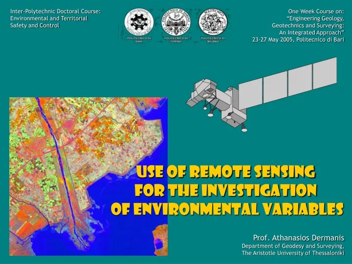
Inter-Polytechnic Doctoral Course: Environmental and Territorial Safety and Control. One Week Course on: “Engineering Geology, Geotechnics and Surveying: An Integrated Approach” 23-27 May 2005, Politecnico di Bari. Use of Remote Sensing for the Investigation

E N D
Inter-Polytechnic Doctoral Course: Environmental and Territorial Safety and Control One Week Course on: “Engineering Geology, Geotechnics and Surveying: An Integrated Approach” 23-27 May 2005, Politecnico di Bari Use of Remote Sensing for the Investigation of Environmental Variables Prof. Athanasios Dermanis Department of Geodesy and Surveying, The Aristotle University of Thessaloniki
FUNDAMENTALS CHAPTER 1 Introduction A. Dermanis
Remote Sensing: Exploitation of remotely assessed data for information retrieval Data: Digital multispectral images of the same part of the earth, obtained simultaneously by sensors recording electromagnetic radiation reflected or emitted from the earth surface, each one recording only a part of the radiation contained within a spectral band Remotely assessed:Mostly from orbiting satellites, less from airplanes Retrieved information: Land coverage Exploitation: Thematic mapping, etc. A. Dermanis
REMOTE SENSING AND RELATED SCIENCES Geodesy Surveying Photogrammetry etc. SUPPORT DATA Thematic Cartography GIS Remote Sensing Photointerpretation Photogrammetry USERS DEVELOPMENT A. Dermanis
Interaction of Remote Sensing with other scientific fields Remote Sensing Digital Image Analysis Pattern Recognition A. Dermanis
CONTENTS 1. Introduction FUNDAMENTALS 2. Electomagnetic Radiation 3. Satellites and Sensors 4. Geometric Correction (Georeferencing) DATA PREPROCESSING 5. Atmospheric Influence and Radiometric Correction 6. Histogram Manipulation DIGITAL IMAGE ANALYSIS 7. Template Filters 8. Fourier Filters A. Dermanis
CONTENTS 9. Band Algebra & Vegetation Indices BAND TRANSFORMATIONS 10. Principal Components 11. Tasseled Cap 12. The Classification Problem CLASSIFICATION 13. Pattern Recognition and Classification 14. Clustering and Unsupervised Classification 15. Supervised Classification 16. Training & Neural Networks A. Dermanis
ρ V 0.5 V S S W λ (μm) W 0.5 1.0 1.5 2.0 0.5 The Fundamental Concept of Remote Sensing A. The physical Reality (idealized) Each land cover type reflects a certain fraction ρ of the solar electromagnetic radiation different for each wavelength constituent λ Τhe function ρ(λ)is the spectral signature of the particular land coverage Observed land area consisting of 3 types of land coverage: W = Water S = Soil V = Vegetation A. Dermanis
Band 1 Band 2 Band 3 ρ V v2 0.5 v3 S s3 s2 v1 s1 W λ (μm) w1 0.5 w2 v1 v3 v2 1.0 1.5 2.0 0.5 w3 s3 s2 s1 w1 w3 w2 The Fundamental Concept of Remote Sensing B. The Data Capture Band 2 Band 3 Band 1 A. Dermanis
x3 S V v3 s3 w2 s2 v2 x2 w1 s1 v1 W x1 The Fundamental Concept of Remote Sensing C. The Data Analysis The 3 bands formulate a 3-dimensionl fictitious space the multispectral space The values of a pixel in the 3 bands are its coordinates in the multispectral space Pixels in the same class have similar band values and they are close in multispectral space Pixels in different classes have different band values and they are far away from each other in multispectral space A. Dermanis