Download
1 / 21
210 likes | 315 Views
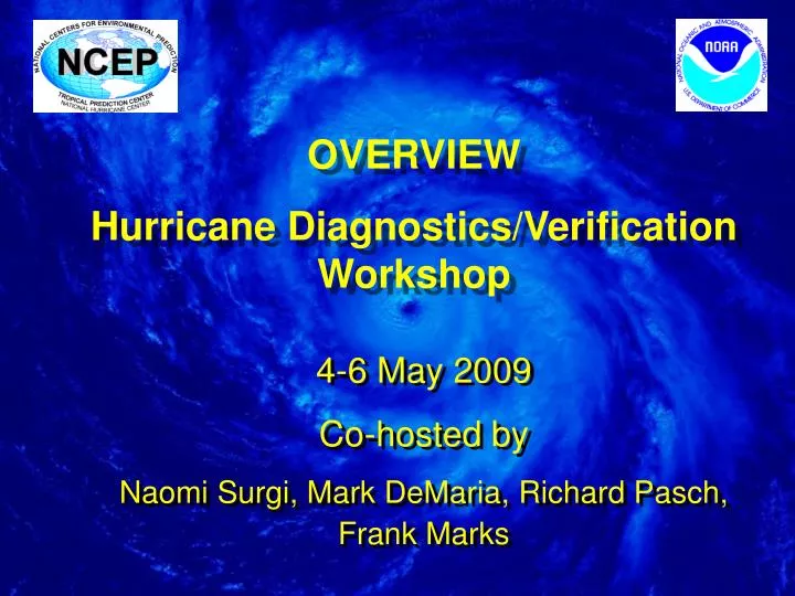
OVERVIEW Hurricane Diagnostics/Verification Workshop. 4-6 May 2009 Co-hosted by Naomi Surgi , Mark DeMaria , Richard Pasch, Frank Marks. Purpose of Workshop:

E N D
OVERVIEW Hurricane Diagnostics/Verification Workshop 4-6 May 2009 Co-hosted by Naomi Surgi, Mark DeMaria, Richard Pasch, Frank Marks
Purpose of Workshop: To bring together expertise in the hurricane research and operational communities to launch a concerted diagnostics activity to improve NHC’s numerical guidance Objective/Goals: to provide feedback to both operational model developers and to hurricane forecasters for near term transition into operations and to research modelers to develop useful methods for assessing forecast quality in various phases of model development. Observations from both satellite and in situ platforms…… and model verification are critical to assist this effort
Max Mayfield left this for me on my desk (after he worked a mid shift)………… Statistical !!! Dynamical
Over the past decade(s) – LOTS of model data has been generated by the various global and regional operational hurricane models, e.g. the NCEP GFS, NOGAPS, UKMO, the GFDL model and for the past two seasons the HWRF. For GFDL, HWRF….for track AND intensity Bad forecasts, good forecasts (sometimes very surprisingly so)….. But little feedback as to why….. Also, sometimes model biases are noted, e.g. GFS northward bias in central tropical ATL; NOGAPs strong westerly bias; GFDL strong intensity bias (sheared environments); …… HWRF? Are these systematic model biases? Vary w/basin? Artifact of the season? Related to initial errors; physics? Most importantly (once identified) HOW TO FIX? PERFECT !
GFDL HWRF HURRICANE FAY
Several models had skillful 5 day forecasts when Gustav was still east of Jamaica targeting the central LA coast HWRF H. GUSTAV Most model forecasts did not target Galveston for IKE landfall until ~ 36 hrs. before landfall H. IKE
GFDL HWRF HURRICANE BERTHA
GLOBAL vs. Regional NORBERT
Hurricane Flossie HWRF Track Fcst 081200 FLIP FLOP HWRF Track Fcst 081212
TS BARBARA GFDL,AVNO,UKM,NGPS,HWRF None of the models could get a grip on this forecast!
Hurricane Henriette GFDL Nearly a perfect forecast…..
HWRF 126H FORECAST OF HURRICANE DEAN HWRF forecast both landfall intensities CAT2 CAT5 Can you trust this forecast?
We’re making progress…but many difficult problems ahead Felix - Vmax (kts) Humberto 2007 9/09-9/12 Franklin - Vmax (kts)
Dennis Track impacts intensity Wilma
Interesting way research models show forecasts Need to be very careful……
High-res models (1.6km) Obs GFDL model NHC Forecast Global models Katrina Landfall Research model forecasts of storm intensity for Hurricane Katrina showing benefit of high (1.6 km) resolution
Research model forecasts of storm intensity for Hurricane Katrina showing benefit of high (1.6km) resolution High-res models (1.6km) Obs HWRF model GFDL model HWRF NHC Forecast Global models Katrina Landfall Intensity Forecast of Hurricane Katrina 0000 UTC 27 August 2005
IN FACT: • From 114 hrs to 60 hrs before landfall, seven HWRF forecasts predicted rapid intensification of Hurricane Katrina, predicting Category 5 Hurricane • Three HWRF forecasts predicted Category 3 landfall for Hurricane Katrina • Three HWRF forecasts of max. intensity coincided with observed maximum intensity
Operational models are becoming very complex…. Coupled to ocean, waves, land surface model Same issues….. We must begin to identify systematic biases What observations do we have? Are still needed? Workshop objective: When we leave here…… What are the activities? WHO is going to do what?
Housekeeping Agenda Enough time for discussion THANK YOU HFIP for support