Download
1 / 10
130 likes | 181 Views
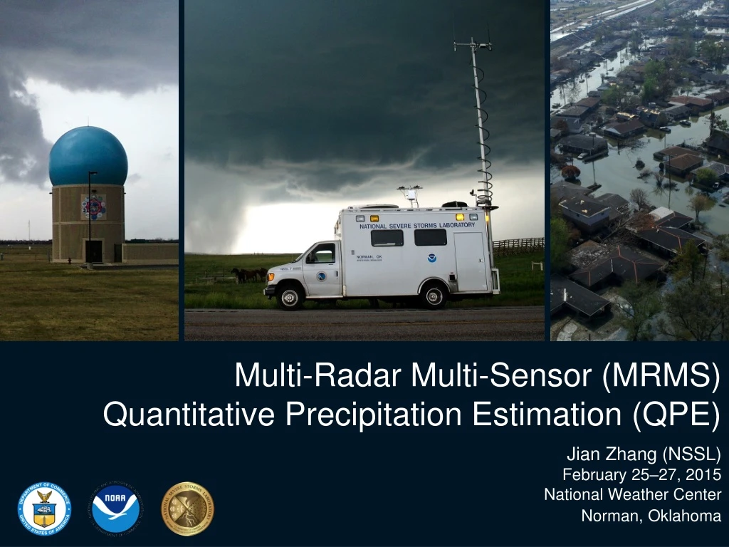
Multi-Radar Multi-Sensor (MRMS) Quantitative Precipitation Estimation (QPE). Jian Zhang (NSSL) February 25–27, 2015 National Weather Center Norman, Oklahoma. What is MRMS QPE?. 1, 3, 6, 12, 24, 48 and 72 hr accumulations. Radar QPE. G auge QPE. Local gauge bias corrected radar QPE.

E N D
Multi-Radar Multi-Sensor (MRMS) Quantitative Precipitation Estimation (QPE) Jian Zhang (NSSL) February 25–27, 2015 National Weather Center Norman, Oklahoma
What is MRMS QPE? 1, 3, 6, 12, 24, 48and 72 hr accumulations • Radar QPE • Gauge QPE • Local gauge bias corrected radar QPE • Gauge + orographic pcp climatology QPE Associated with Radar QPE [1km x 1km, 2 min]: • Surface Precipitation Type • Surface Precipitation Rate • Radar QPE Quality Index (RQI) • other… Associated with Gauge QPE [1km x 1km, 1 hr]: RQI 18Z 6/13/2013 GII 23Z 2/2/2015 • Gauge Influence Index (GII)
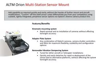
Relevance Use cutting-edge research and high-tech instrumentation to provide citizens, planners, emergency managers and other decision makers with reliable information they need. • Uses most advanced polarimetric radartechnologies and provides high-resolution information of precipitation types and amounts for the nation • Products are used by WFOs, RFCs and private companies for flash flood and river flood warningsand water resources management Protect life andproperty and conserve and protect natural resources ~70 users from government agencies, universities, and private companies
Quality • Refereed publications: • 18 on MRMS QPE R&D; • 40+ on MRMS product applications Present “Q3” radar QPE 2009 “Q2” radar QPE Stage-II radar QPE Features Impacts Single-pol radar QC with environmental data Elimination of non-meteorological echoes Single-pol radar data quality control (QC) Dual-pol radar data QC Automated precipitation classification Automated precipitation classification More accurate spatial distributions of precipitation Probability of Warm Rain; Weighted mean of multi Z-Rs One Z-R per radar domain Five Z-Rs Mitigated range-dependent radar QPE error Vertical Profile of Reflectivity (VPR) correction Higher-resolution for flash flood and urban hydrology applications 4 km, 1 hr 1 km, 5 min 1 km, 2 min Operational in Sep. 2014
Performance (QPE) Stage-II radar only (4 km, hrly, ~ 1hr latency) MRMS radar only (1km, 2min, ~5 min latency) MRMS local gauge bias corrected (1km, ~1hr latency) Stage-IV (manual merging of multiple QPEs; 4-km, ~6-24hr latency)
What’s Next? R(Z) • Evaluate latest dual-pol radar QPE techniques across ConUS for all seasons R(A) R(Z) • Towards operational implementation in 2016-17. • Based on the evaluation, develop a new synthetic dual-pol radar QPE in MRMS (“Q3DP”). rain hail/rain mix melting layer/ice R(KDP) A: specific attenuation KDP: specific differential phase ZVPRC: reflectivity with vertical profile of reflectivity correction
Thank You! mrms.ou.edu