Download
1 / 13
130 likes | 294 Views
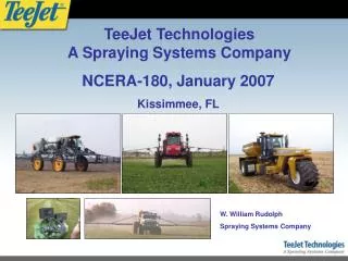
2007 NCERA-180 Annual Meeting. Veris NIR Spectrophotometer. www.veristech.com. Acquisition/Sampling Procedure. Map field NIRS at 10 cm level with Veris NIRS shank unit (15 m transects typical). PC compression and remove outliers. Fuzzy clustering into 15 clusters (use 3 PC’s).

E N D
2007 NCERA-180 Annual Meeting
Acquisition/Sampling Procedure • Map field NIRS at 10 cm level with Veris NIRS shank unit (15 m transects typical). • PC compression and remove outliers. • Fuzzy clustering into 15 clusters (use 3 PC’s). • Select 1 sample location per cluster (software). • 5) Software guidance to sample locations.
Calibration Procedure • Lab-analyze soil carbon and bulk density (and other properties of interest). • Calibrate NIRS data with lab analyses and validate. (Client responsible)
ILLINOIS: Lab results-Amino N NIRS—Amino N
Carbon Sequestration Validation Problem: Soil carbon levels and rates of carbon change vary in the X, Y and –Z directions. This variability occurs at close spatial ranges within a field, and often exceeds the amount of newly sequestered carbon. • Goal: carbon inventory to 60 cm depth • Map NIRS at 10 cm level with Veris NIRS shank unit. • Use shank NIR (PCA, fuzzy c-means clustering) to identify 15 sample points for NIRS probe and soil cores. • Collect NIRS data to 60 cm and 3” diameter soil cores (large diameter to minimize probe effect on bulk density). • Segment cores into 10 cm segments. • Use probe NIRS (PCA, fuzzy c-means clustering) to identify 15 10 cm segments for lab analysis (each 10 cm level represented with at least two lab analyses). • Analyze soil carbon and bulk density in lab • Calibrate NIRS data with lab analyses and cross-validate.
Acknowledgement Funding for NIRS research provided by the Small Business Innovation Research programs of the U.S. Departments of Agriculture and Energy