Download
1 / 29
290 likes | 409 Views
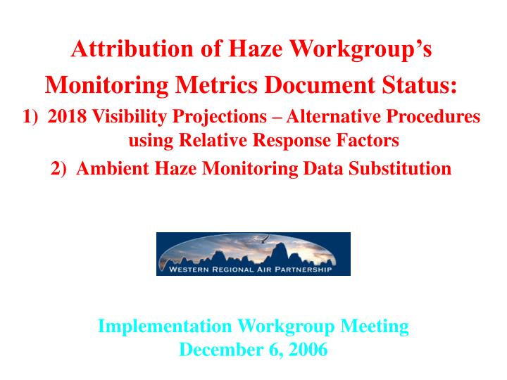
Attribution of Haze Workgroup’s Monitoring Metrics Document Status: 2018 Visibility Projections – Alternative Procedures using Relative Response Factors Ambient Haze Monitoring Data Substitution. Implementation Workgroup Meeting December 6, 2006. Monitoring Metrics Document Status.

E N D
Attribution of Haze Workgroup’s • Monitoring Metrics Document Status: • 2018 Visibility Projections – Alternative Procedures using Relative Response Factors • Ambient Haze Monitoring Data Substitution Implementation Workgroup Meeting December 6, 2006
Monitoring Metrics Document Status • Issue identified at late July AoH Workgroup meeting • Document to provide consensus technical recommendations to support haze planning • 4 major topics • Adopt revised IMPROVE equation – done • Adopt alternate natural conditions values (by species) – done • Adopt 2000-04 IMPROVE dataset for sites with complete data – done • Sites with insufficient data identified and data substitution underway • Analysis of default and alternate visibility projections methods • 2 calls completed, next call 12/13, maybe 1 additional call • Potential methods explained later • Final draft of Monitoring Metrics document out for review early January
Introduction to Visibility Projections • Difficult to meet 2018 Uniform Rate of Progress (URP) goal for western Class I areas using EPA default or alternative modeled 2018 visibility projections methods due to large contributions of: • Fires (High EC and OC) • Dust (High Soil and CM) • International Transport • Most of these emissions are natural, unpredictable and uncontrollable • Unable to realistically forecast these sources in 2018 • many source categories held constant from 2002 to 2018 • Two examples follow: Crater Lake (CRLA) OR and Salt Creek (SACR) NM
2018 Emission Projections • Sources Held Constant 2000-04 to 2018 base case • Biogenics • Wind Blown Dust (WRAP model) • Ammonia from WRAP model • Mexico and Canada • Off-Shore Marine • Boundary Conditions from GEOS-Chem Global Model • Sources with emission reductions 2000-04 to 2018 base case • Mobile source NOx, SOx, EC & OC • Point and Area Source NOx and SOx (amount varies by state) • Nonattainment areas (mainly VOC & NOx in CA) • Many other anthropogenic sources relatively unchanged or increase • Road dust, oil & gas, some uncontrolled area sources
2018 Visibility Projection Issues • EPA guidance (September 2006) recommends using average modeling results for the 2002 Worst 20% (W20%) days to project 2018 visibility for W20% days from the 2000-2004 Baseline (Relative Response Factors, RRFs) • W20% days in 2002 may not be representative of W20% days from other years in Baseline • 2002 W20% days may occur in different times of the year and therefore emphasize different PM components • Episodic events may dominate W20% days in some years • Fires dominate 2002 W20% days at some western Class I areas that makes the 2002 year derived RRFs very stiff • Fire impacts in other years at Class I areas with little fires in 2002
2018 Visibility Projection Issues • Missing IMPROVE data at some Class I areas hinders visibility projection calculations at 18 sites in western U.S. • 5 IMPROVE sites did not meet RHR criteria of at least 3 complete years in 2000-2004 Baseline • 13 IMPROVE sites did not satisfy data completeness criteria for 2002 so RRFs could not be calculated • Data substitution underway to address this issue • Model performance for Coarse Mass (CM) sufficient bad we do not believe the RRFs are reliable • Suspect a lot of measured CM are subgrid-scale to the model so the model 36 km CM estimates are not representative • Set RRFs for CM = 1.0
2018 Visibility Projection Issues • 2018 URP goal is not a NAAQS, just one element of the Reasonable Progress (RP) determination • Four Factor Analysis another important element of RP • EPA default 2018 visibility projections one approach for using modeling results in RP determination • Can we use alternative projection techniques that take into account seasonal differences in W20% days during Baseline • Are there other ways we can use the modeling results to assist in the Reasonable Progress determination?
Approaches for RRFs (1) • Method 1: Average RRF Approach from September 2006 EPA Guidance • For each Class I area and Observed Worst/Best 20% days from 2002 take the ratio of the average modeled 2018 to 2002 PM species concentrations • Applied to observed daily PM components for each Worst/Best 20% day from each year from the Baseline, calculate daily Bext/dv, annual dv and 2018 projected dv same as before
Approaches for RRFs (2) • Method 2A: Average Quarterly RRF Approach • Similar to Average RRF Approach only calculate separate RRFs for each Quarter of the year using the observed Worst/Best 20% days for each Quarter in 2002 • Allows for seasonal variations in RRFs, has similarities to 24-Hour PM2.5 projection approach specified by EPA guidance
Approaches for RRFs (3) • Method 2B: Average Monthly RRF Approach • Calculate separate RRFs for each Month of the year using the observed Worst/Best 20% days for each Month in 2002 • Allows for seasonal variations in RRFs • Results follow for: • 2002 Plan02c & 2018 Base18b • CMAQ 2002 36 km annual simulations • New IMPROVE equation
Visibility Projection Comparisons • Use DotPlots that present 2018 visibility at Class I areas as a percentage of meeting 2018 URP benchmark • Compare Method 1 (Annual W20%) with Method 2A (Quarterly W20%) and Method 2B (Monthly W20%) New IMPROVE Algorithm • New IMPROVE equation • RRF for CM = 1.0 • No Western US Class I area achieves 2018 URP benchmark • In contrast to eastern US where many Class I areas achieve 2018 URP goal due to sulfate domination
Additional Visibility Projection Metrics • Need to assess Glide Paths for each component of visibility impairment except CM • SO4, NO3, EC, OC and Fine Soil • Adding PM species Natural Conditions as end point • Presenting Species glide paths analysis on AoH call 12/13 • More likely [be closer] to meet 2018 URP benchmark when looking at controllable (SO4 and NO3) extinction • Need to analyze results of alternative methods more closely
Conclusions • The EPA Default (Annual Average ) and alternative (Quarterly/Monthly Average) 2018 projection can be used to estimate visibility levels in 2018 for comparisons with the URP benchmark • Additional PM species-specific Glide Paths and 2018 projections will be made to assess progress in reducing the “controllable” portion of haze • Data will be used in Reasonable Progress determinations