Download
1 / 10
100 likes | 253 Views
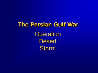
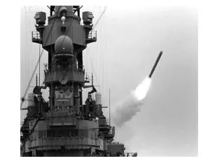
Military Geology in the Gulf War 1990-91 CPT Hugh Cronin. Area of Major Ground Operation (As Summan Plateau and Dibdibah Plain). Wadi Al Batin. KKMC. Mission. Engr Geologists and Hydrogeologists, 416th ENCOM Potential quarry sites, construction aggregate Developing water resources

E N D
Military Geology in the Gulf War 1990-91 CPT Hugh Cronin
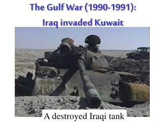
Area of Major Ground Operation (As Summan Plateau and Dibdibah Plain) Wadi Al Batin KKMC
Mission • Engr Geologists and Hydrogeologists, 416th ENCOM • Potential quarry sites, construction aggregate • Developing water resources • Evaluating terrain features, mobility • Updating maps
SW to NE Geologic Cross Section, Arabian Peninsula (Arabian Shield and Arabian Shelf)
The western munitions storage area road at Prince Sultan Air Base during (far left), and after (left) 819th RHS construction crews arrived on-site. (Photos courtesy 819 RHS)
Umm er Radhuma aquifer in Saudi Arabia. Groundwater flows toward the gulf and is considered freshwater.
Cross section of Playas (intermittent lakes with dry silt and clay crusts) and Sabkhahs (tidal action with high water tables and damp salty crust).
Lessons Learned • 1:50,000 maps useless • GPS critical to situational awareness • Use a rope in a sand storm • One canteen cup of water can wash your body • Rehearse, Rehearse, Rehearse
References http://www.desert-storm.com/Gallery/index.html “Military Geology in War and Peace”, Volume XIII, The Geological Society of America, Inc., 1998