Download
1 / 14
170 likes | 269 Views
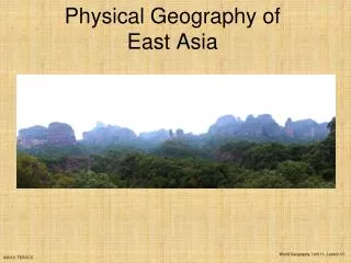
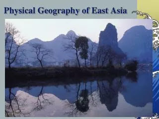
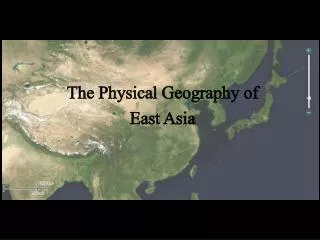
Discover the diverse physical features of East Asia, including the Kunlun Mountains, Gobi Desert, Yellow and Yangtze Rivers, and valuable natural resources like petroleum and coal. Learn about the geography of China, Japan, Mongolia, Taiwan, North Korea, and South Korea.

E N D
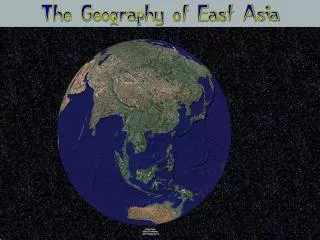
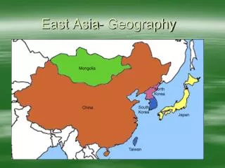
-Countries in the region: China, Japan, Mongolia, Taiwan, North Korea, and South Korea -Kunlun Mountains: located in Western China -The source of both the Yellow and Yangtze Rivers
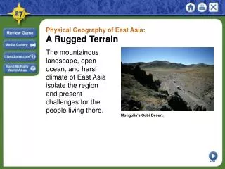
Gobi Desert -Covers more than 5,000 miles from northwest China into Mongolia -Larger than Texas and California combined -During winter months, temperatures can drop to -40˚F -During summer months, temperatures can reach 122˚F
River Systems -Yellow River: originates in the Kunlun Mountains -Flows for more than 3,000 miles, empties into the Yellow Sea -The river has a yellowish tint because of the color of the soil it carries
River Systems -Yangtze River: longest river in Asia (over 3,900 miles) -Very important river for shipping and trading
Natural Resources -Because East Asia is such a mountainous region, land available for agriculture is limited -China’s population is concentrated to the east where land is arable -The mountainous regions in western China are more sparsely populated
Natural Resources -Major natural resources of East Asia: petroleum, coal, natural gas, and iron ore -North and South Korea have plentiful gold and silver reserves -China’s river systems provide crop irrigation, hydroelectric power, and transportation