Download
1 / 16
160 likes | 317 Views
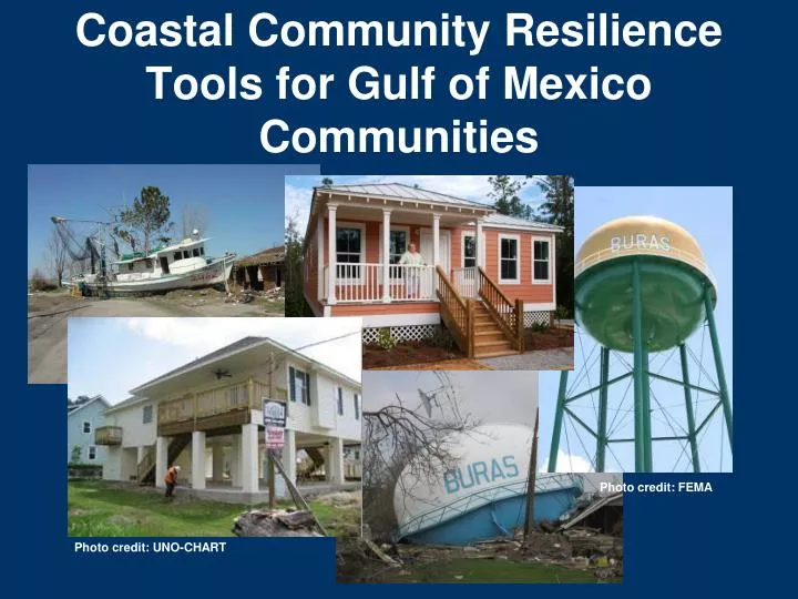
Coastal Community Resilience Tools for Gulf of Mexico Communities. Photo credit: FEMA. Photo credit: UNO-CHART. Gulf of Mexico Alliance.

E N D
Coastal Community ResilienceTools for Gulf of Mexico Communities Photo credit: FEMA Photo credit: UNO-CHART
Gulf of Mexico Alliance “A partnership of the states of Alabama, Florida, Louisiana, Mississippi, and Texas, with the goal of significantly increasing regional collaboration to enhance the ecological and economic health of the Gulf of Mexico.”
Coastal Community Resilience Priority Issue Team MISSION: Coordinate and enhance efforts of local, state, federal, business and non-profit partners to assist coastal communities and ecosystems in the Gulf of Mexico region in becoming more resilient in structure and function.
Resilience is the capacity of both Social and Environment System’s ability to adapt to and recover from change
Tools for Communities • StormSmart Coasts • StormSmart Connect • Resilience Index • Homeowner Handbooks • Sea-Level Rise Modeling
StormSmart Coasts • Clearinghouse • State-specific information • New tools, funding opportunities • Case studies
StormSmart Coasts One-Stop Resource for Coastal Decision Makers Working to Make Their Communities More Resilient • news • before the storm • during the storm • after the storm • funding
StormSmart Connect Professional Networking Site for Coastal Decision Makers Helps people work together more easily and efficiently > 250 coastal decision makers registered
what you can do with it send form/joingroups create a profile share files messages and find others • Organizational • Plan events • Interests • Ad hoc • documents • PDFs • Photos
Resilience Index • Self-assessment • Identify community strengths • Identify weaknesses • Generate dialog across your community
Resilience Index • Self-assessment • Identify community strengths • Identify weaknesses • Generate dialog across your community
Homeowner Handbooks • Overview of regional hazards • Steps and tools for protecting your family and your property http://ms.stormsmartcoasts.org/handbook
Features Displays potential future sea levels Provides simulations of sea level rise at local landmarks Communicates the spatial uncertainty of mapped sea levels Models potential marsh migration due to sea level rise Overlays social and economic data onto potential sea level rise Examines how tidal flooding will become more frequent with sea level rise Sea-Level Rise Modeling • Features • *Displays potential future sea levels • *Provides simulations of sea level rise at local landmarks • *Communicates the spatial uncertainty of mapped sea levels • *Models potential marsh migration due to sea level rise • *Overlays social and economic data onto potential sea level rise • *Examines how tidal flooding will become more frequent with sea level rise http://www.csc.noaa.gov/digitalcoast/tools/slrviewer
For More Information… Rhonda Price Coastal Community Resilience Team Coordinator Rhonda.Price@dmr.ms.gov Tracie Sempier Coastal Storms Program Coordinator Resilience Team, Toolkit Working Group Lead tracie.sempier@usm.edu
Online Demo’s StormSmart Coasts Network: http://stormsmartcoasts.org/ Coastal Resilience Index Critical Facilities Tool: http://csc-s-web-q.csc.noaa.gov/criticalfacilities/ Sea-Level Rise Visualization Tool: http://www.csc.noaa.gov/digitalcoast/tools/slrviewer