Download
1 / 18
190 likes | 395 Views
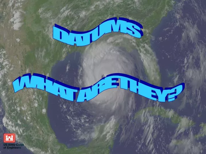
DATUMS WHAT ARE THEY?. Overview. Basic Geodesy. What is a Datum? NAD83 NGVD29 NAVD88 LMSL Tidal Range. WE DON’T NEED NO STINKING DATUMS!. ITRF 00. NAD 27. GRS 80. FBN/CBN. Datums?. NSRS. CORS. WGS 84. NAVD 88. HPGN. NGVD 29. HARN. NAD 83. WHAT IS A DATUM?.

E N D
DATUMS WHAT ARE THEY?
Overview Basic Geodesy What is a Datum? NAD83 NGVD29 NAVD88 LMSL Tidal Range
WE DON’T NEED NO STINKING DATUMS! ITRF 00 NAD 27 GRS 80 FBN/CBN Datums? NSRS CORS WGS 84 NAVD 88 HPGN NGVD 29 HARN NAD 83
WHAT IS A DATUM? A GEODETIC DATUM IS: A REFERENCE POINT FROM WHICH MEASUREMENTS ARE MADE.
WHAT IS A DATUM? HORIZONTAL DATUMS: are used for describing a point on the earth’s surface, in latitude and longitude or another coordinate system VERTICAL DATUMS: measure elevations or depths
BESSEL1841 --------------LOCAL ASTRO DATUMS (1816-1879) NEW ENGLAND DATUM (1879-1901) U.S. STANDARD DATUM (1901-1913) NORTH AMERICAN DATUM (1913-1927) NORTH AMERICAN DATUM OF 1927 OLD HAWAIIAN DATUM CLARKE 1866 PUERTO RICO DATUM ST. GEORGE ISLAND - ALASKA ST. LAWRENCE ISLAND - ALASKA ST. PAUL ISLAND - ALASKA AMERICAN SAMOA 1962 GUAM 1963 GRS80 ----------- NORTH AMERICAN DATUM OF 1983 (As of June 14, 1989) HORIZONTAL DATUMS
NAD 27NAD 83 ELLIPSOID CLARKE 1866 GRS80 a = 6,378,206.4 m a = 6,378,137. M 1/f = 294.9786982 1/f = 298.257222101 DATUM POINT Triangulation Station NONE MEADES RANCH, KANSAS EARTH MASS CENTER ADJUSTMENT 25k STATIONS 250k STATIONS Several Hundred Base Lines Appox. 30k EDMI Base Lines Several Hundred Astro Azimuths 5k Astro Azimuths Doppler Point Positions VLBI Vectors BEST FITTING North America World-Wide COMPARISON OF DATUM ELEMENTS
An ellipsoid of revolution is the figure which would be obtained by rotating an ellipse about its shorter axis. An ellipsoid of revolution describing the figure of the Earth is called a reference ellipsoid. Earth GRS80 NAD83 • b = 6,356,752.31414 m • a= 637813.000007 meters • b= 6356752.31414 meters • f= 1/(a-b)/a = 298.2572220972 Squash the sphere to fit at the poles • a = 6,378,137.00000 m
How high is the water? 0 feet LMSL (2001-2006) -0.5 feet NAVD88? 5 feet ABOVE THE GROUND? All of the above!
NGVD29 The North American Vertical Datum of 1929 is referenced to 26 tide gages in the US and Canada
Vertical Segment of the NSRS • NOAA's National Geodetic Survey (NGS) defines and manages a national coordinate system. • This network, the National Spatial Reference System (NSRS), provides the foundation for our spatial infrastructure • NGS develops Federal standards for geodetic surveys and helps to coordinate surveying methods. • NGS State Geodetic Advisors are stationed in several states to work with local communities to expand surveying capabilities.
-11 cm 125 cm -23 cm 102 cm 85 cm -11 cm 70 cm 4 cm -23 cm NAVD 88 Referenced to 1 Tide Gage (Father’s Point) NGVD 29 Referenced to 26 Tide Gages NAVD88 minus LMSL(1960-1978)
GRS80 (NAD83/GPS) -59.56' 14.00' 13.51' 13.01' LMSL NAVD88 NGVD29
LMSL GRS80 (NAD83/GPS) The floodwall sinks due to subsidence as the sea level rises resulting in less protection -59.56' Subsidence 14.00' 13.51' 13.01' Sea Level Rise NAVD88 NGVD29
Connection to the NSRS • ADCIRC Models • DFIRMS • HEC Models • Other Projects
1213.56' 1300.00' 1303.32' GRS80 (NAD83/GPS) NGVD29 NAVD88