Download
1 / 13
130 likes | 208 Views
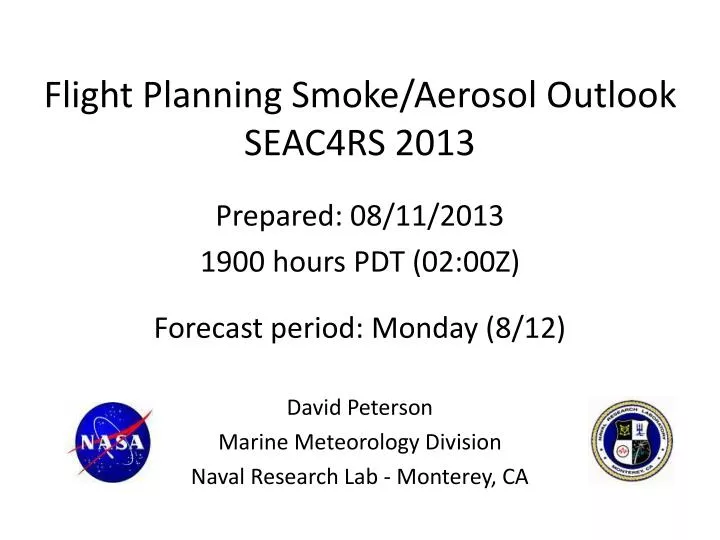
Flight Planning Smoke/Aerosol Outlook SEAC4RS 2013. Prepared: 08/11/2013 1900 hours PDT (02:00Z ) Forecast period: Monday (8/12) David Peterson Marine Meteorology Division Naval Research Lab - Monterey, CA. Bottom Line Upfront. Fire Observations:

E N D
Flight Planning Smoke/Aerosol OutlookSEAC4RS 2013 Prepared: 08/11/2013 1900 hours PDT (02:00Z) Forecast period: Monday (8/12) David Peterson Marine Meteorology Division Naval Research Lab - Monterey, CA
Bottom Line Upfront Fire Observations: • A few small fires have been detected by MODIS in TX, AR, and LA • Large fires continue to burn in WY, ID, and MT Key Forecasting Points (Monday 8/12): • Near-stationary surface frontal boundary in SE CONUS, with plenty of instability/moisture • Convection is likely along a surface boundary, mainly in southern TN and northern AL, MS, and GA. • Convection also possible near the coast of TX and LA Smoke Predictions (Monday 8/12): • SE CONUS: minor smoke concentrations are possible in TX, AR, and LA, but numerous, large fire events are not likely • Western fires: fire evolution/smoke transport potential will be monitored. Smoke transport into portions of the Midwest/SE CONUS is becoming more likely!
Current Fire Activity Recent pyroconvection Smoke Transport??? Something to watch! A few fires have been detected, but no large incident reports
Fire Observations Aqua MODIS: ~1330 CDT Sunday (8/11) Few fires today • Aqua MODIS: ~1430 MDT Sunday (8/11) • Several large fire complexes in southern Idaho. • Lots of smoke, transported a great distance • Smoke from Canada coming into MT? Smoke from Canada? increased moisture reduces fire danger
Idaho Fires are Impressive! Past 24 hrs: • Several large fires • Sizes ranging from 15000 -50000 acres • 15-85% growth in the past day • Pyroconvection has been observed! • High-altitude injections are occurring! Photo from I-84 taken Saturday afternoon
Current Drought Conditions In recent weeks, drought conditions have developed in eastern TX, and portions of AR and LA…
Synoptic Pattern 8/10/13, 1800Z Primary forecast issues: • Western blocking pattern is beginning to break down • Easterly tropical wave now over Mexico • Little large-scale dynamical forcing in the SE CONUS. • Convection will be largely instability driven, which is typical for August. • Typical Bermuda High pattern is trying to reform, but still weak • Occasional shortwaves provide a lifting mechanism near the edge of the high, and above a surface frontal boundary H L Bermuda High Tropical Wave
Synoptic Pattern Midwestern convection associated with the digging large-scale trough Convection along southern surface boundary Easterly tropical wave
Surface Conditions Key Points • Surface (largely stationary) frontal boundary will bisect the region and serve as a focal point for convection • The front will slowly sag to the SSE 8/11/13, 0125Z
Convection/Rainfall Forecast Monday (8/12): • Near-stationary frontal boundary will be the primary focus • Convection will develop along the front, mainly nearthe southern TN border • Convection also likely along the TX/LA coast and offshore COAMPS Simulated Reflectivity (21Z, 8/12)
NAAPS Smoke/Aerosol Forecast View slideshow for loop!!! • Some smoke may be present in the TX/LA/AR region! • Smoke concentrations are still high in the western CONUS and Canada • Potential for ESE transport must be monitored! • Some smoke will likely reach the study region during the week! • Sulfates are generally high in the southern Midwest and Mid Atlantic • High concentrations extend into the SE CONUS on Monday 8/12!
Smoke/Aerosol Forecast Smoke may already be reaching the Midwest!
Summary • Fire and smoke observations are possible in portions of TX, AR, and LA • Some fire growth/ignition is possible during the afternoon hours Monday, but explosive growth is not expected. • Convection is likely along a surface boundary, extending across the southern border of TN • Transport of western US/Canadian smoke must be monitored in the coming days! It all depends on the evolution of the synoptic trough!