Download
1 / 13
130 likes | 153 Views
Explore how GPS and Galileo revolutionize geodetic science globally, aiding natural disaster detection and Earth observing. Learn about the International GNSS Service's vital contributions to society. Contact Ruth E. Neilan for more information.

E N D
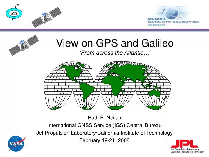
View on GPS and Galileo‘From across the Atlantic…’ Ruth E. Neilan International GNSS Service (IGS) Central Bureau Jet Propulsion Laboratory/California Institute of Technology February 19-21, 2008
PerspectiveGPS, Galileo - “more better” ‘North American View’ not applicable to science: • Science is ‘continent-blind’ • GNSS applications for top-end science & technology in regional areas, must have a global construct, network, a global reference frame • Improving Earth observing with GNSS can provide early warning for natural disasters and mitigate their effects: • Tsunamis, sea level rise, earthquakes,climate change,… • Real-time responses Early lessons with GPS show that in-depth GPS/GNSS studies in any region require a global infrastructure - this is the perspective that drove the development of an international federation - IGS. (CASA-Uno’88)
IGS Mission Science in service to society “The International GNSS Service provides the highest-quality GNSS data, products, and services in support of the Earth observations and research, positioning, navigation and timing, the terrestrial reference frame, Earth rotation, and other applications that benefit society.”
The BasicsInternational GNSS Service • Recognized as an international scientific service • Advocates an open data policy, equal access • Name change from GPS to GNSS in 2005 reflects including: • GLONASS and future planning for Galileo, QZSS, Compass, … • Highest accuracy GPS & GLONASS satellite orbits available anywhere • -3-5 cm 3-d wrms GPS solutions • ~10-20 cm GLONASS solutions • mm-level station positions and velocities, since 1992 (map) • Network of over 350+ stations precision geodetic receivers produce GPS data on a continuous basis • ~ 35 also track GLONASS • ~100 report hourly • Real-time IGS network initiated, • prospects of integrity monitoring, other products • Still major gaps, esp. in developing countries - AFREF
Quick answers: What is the IGS? The International GNSS Service (IGS, formerly the International GPS Service) is a voluntary federation of more than 200 worldwide agencies that pool resources and permanent GNSS station data to generate precise GNSS products. Currently the IGS supports two GNSS: GPS and the Russian GLONASS. Over 350 permanent, geodetic GNSS stations operated by more than 100 worldwide agencies comprise the IGS network. Civilian, dual frequency receivers tracking L1, L2, P2, and C1 or P2, minimally contributing daily files of 30-sec samples. Sub-network tracking new L2C
Quick answers: What is the IGS? IGS products are formed by combining independent results from each of several Analysis Centers. Improvements in signals and computations have brought the centers’ consistency in the Final GPS satellite orbit calculation to about 2cm. Graph courtesy Analysis Coordinator G. Gendt, GFZ Potsdam Many earth science missions and measurements, and multidisciplinary applications, rely upon the openly-available IGS products such as ephemerides and coordinate time series. The IGS Central Bureau handles overall coordination and day-to-day management of the IGS, view must be global.
GLONASS Network and Final Orbit Comparison 1.21.08
GNSS Contributes to Monitoring the Earth: Global Geodetic Observing System - GGOS GNSS combines with other space geodetic techniques, VLBI, SLR, DORIS, InSAR
IGS & International Committee on GNSS IGS: • Demonstrates highly successful community model for cooperation on GNSS • Engaged with the International Committee on GNSS • Perspective: Underscore the need for GNSS interoperability • Inter-system communication, cooperation and transparency facilitate users take-up of new technologies; which • Further evolve and improve GNSS applications - benefiting society and our changing planet
Contact Information Ms. Ruth E. Neilan International GNSS Service Central Bureau Jet Propulsion Laboratory/Caltech MS 238-540 4800 Oak Grove Drive, Pasadena, CA 91109-8099 USA tel: 818-354-8330 fax: 818-393-6686 ruth.neilan@jpl.nasa.gov Part of this work was carried out at the Jet Propulsion Laboratory, California Institute of Technology, under a contract with the National Aeronautics and Space Administration.
What IGS Brings • Partnerships - Bi-lateral and Multi-lateral • True sense of community • Robust, highly leveraged and redundant network • Improvements needed in developing countries and Africa - AFREF • Data from global and dense regional networks that aspire to IGS standards matches global standards • Combined precise & accurate analyses; products are ‘world class’ • Calibration, validation, verification - the ‘go to’ for • Ephemerides, clocks, predicts • Tracking station coordinates and velocities -> Reference Frame • Earth rotation: polar motion, rate, length of day • Tropospheric delays • Ionospheric TEC • Time scale • Signal monitoring: GPS, GLONASS, L2C, GIOVE (Galileo), interference, integrity - more potential here