Download
1 / 21
210 likes | 353 Views
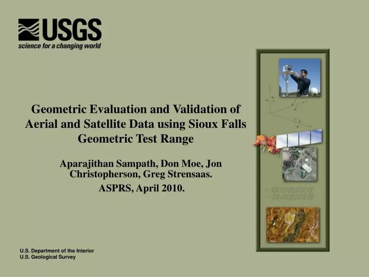
Geometric Evaluation and Validation of Aerial and Satellite Data using Sioux Falls Geometric Test Range. Aparajithan Sampath, Don Moe, Jon Christopherson, Greg Strensaas. ASPRS, April 2010. Outline. Overview of Geometric test ranges Sioux Falls range Location, dimensions etc

E N D
Geometric Evaluation and Validation of Aerial and Satellite Data using Sioux Falls Geometric Test Range Aparajithan Sampath, Don Moe, Jon Christopherson, Greg Strensaas. ASPRS, April 2010.
Outline • Overview of Geometric test ranges • Sioux Falls range • Location, dimensions etc • Accuracy assessment of Sioux Falls range • Two methods for orthoimagery product validation • Using automated image-to-image analysis for rapid and repeatable assessment of accuracy
Geometric Test Ranges: Part of Data Provider Certification USGS to develop validation ranges across US Aerial imagery validation Assess & certify aerial product accuracy over approved range 5-6 needed to “go operational” Satellite data validation Ranges may be used for one or the other, or both LiDAR data validation: In the near future Goal was to have quantified imagery over range extents Use image-to-image analysis for rapid and repeatable assessment of accuracy (May be reducing the wall-to-wall requirement)
Range Locations ? Sioux Falls ? Pueblo, CO Rolla, MO ?
Sioux Falls Range • Orthoimagery covers Minnehaha and Lincoln counties • 85 km (53 miles) N-S • 54 km (34 mi) E-W • 30cm, 15cm, and 7.5cm(12in, 6in, & 3in) • LiDAR coverage at 1.4m posting • Orthoimagery and LiDAR data collected jointly by the USGS, Minnehaha and Lincoln Counties
Range Data Types & Control Points • 3320 km² total of 30cm (1ft) data over Minnehaha and Lincoln Counties • 760 km² of 15cm (6in) data over Sioux Falls and surrounding areas • 115 km² of 7.5cm (3in) data over Sioux Falls 12” Data over Minnehaha County 3” data over the city of Sioux Falls 6” data over parts of Minnehaha and Lincoln counties 12” Data over Lincoln County RTK Survey points on photo-identifiable features (Red dots) Sanborn survey points (Black dots)
Accuracy Assessment of Ortho Imagery • Task was to determine the suitability of available imagery to be used as reference imagery • GPS-RTK Survey • Pick photo identifiable points from orthophotos • Identify base station locations • Actual survey • Accuracy Assessment • Compare coordinates from Orthophotos and RTK survey • Accuracy Analyst ™ used to measure and compile results into report.
Accuracy of Surveying • The RTK survey process was tested by surveying known points near Joe Foss Field and EROS • Maximum error was 3.6 cmor 1.43 inches • Perfectly acceptable for assessing 3”, 6” and 12”data products
RTK Survey • A total of 112 points were surveyed • 56 over Sioux Falls covered by 3” GSD data • Another 13 in the 6” GSD region • Rest in the 1’ GSD region over Minnehaha and Lincoln Counties
Geometric Assessment of GeoEye-1 Over Sioux Falls Test Range • GeoEye-1 was launched in September 2008 • Resolution – 0.41m at nadir for Panchromatic band • Data provided to USGS has been resampled to 0.5m • 1.65m for multispectral (Not Assessed) • 15 x 15 km Single point scene
Geometric Accuracy Validation: IAS - I2I • Select uniformly random points over reference imagery, and determine corresponding locations in the search image using cross correlation • Compare coordinates between search and reference images. • For high resolution data, randomly selected points may prove problematic due to: • Shadows • Look angle may render some points invisible • Too many features • Too low contrast • Amount of data
I2I Matching Reference image chip Search image chip Photo-Identifiable point P Error in Search image P’s actual location in study image determined from Image matching P’s estimated location in study image Moving search template that determines cross correlation matching measure
Geometric Accuracy Validation: Combining Control Points, Open Source Tools • Combine Geospatial Data Abstraction Library (GDAL) and IAS-I2I and Control points • GDAL used to locate and cut image chips around the control points (Reference and search chips) • Error corrections for the control points incorporated • Reference chips are actually more accurate than the reference image • I2I measurements carried out between reference chip center and the search chip
Advantages • Errors in reference image are eliminated • Reference image chips as accurate as the GPS survey • Procedure reduces/eliminates the need to rectify, resample and creates large mosaics of reference images (around 200 of them) • Technique can potentially validate images in different coordinate systems and resolution • Image reference chips can be reused against other images
Going Forward • Instead of wall-to-wall imagery, collect image chips over previously surveyed locations • The locations can be photo-identifiable points • Planned use of a UAV with an attached camera • Plan will generate high accuracy image chips of GSD 3cm-50cm • Use Image chips from NAIP data to validate lower resolution products • If successful, this can significantly reduce costs
Going Forward • Small area vertical photogrammetry • Use camera mounted on a UAV to take vertical photographs over area of interest (mostly check point locations) • Camera could be short focal length COTS • Collect 3-4 RTK points over the area • Georectify the image
Advantages • No need for Wall-to-Wall coverage • Small image (<100ft * 100ft) size will make it more manageable • Images can be collected from carefully selected locations • High accuracy ranges can be built with reduced costs and time
Summary • Sioux Falls range is ready as Geometric validation site for high resolution satellites and Aerial images • Visionmap A3 system was flown over the range in August. • GeoEye-1 was analyzed using the range, as well as RapidEye. WorldView-2 data will be analyzed in the near future. • The combined use open source tools (GDAL, IAS-I2I) to handle large datasets is promising and efforts to improve the I2I tool will be investigated • Two More Ranges in early development • Rolla, MO • Pueblo, CO • Both have some existing imagery • But not high enough resolution • Developing new ideas for obtaining image chips