Download
1 / 26
270 likes | 432 Views
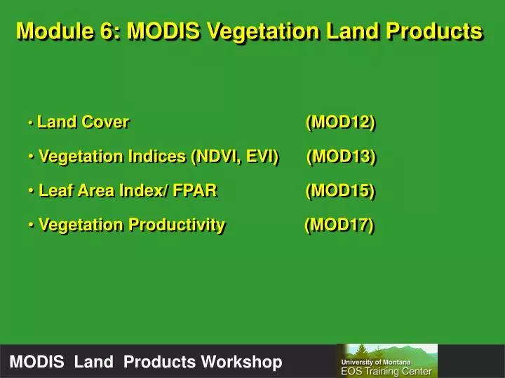
Module 6: MODIS Vegetation Land Products. Land Cover (MOD12) Vegetation Indices (NDVI, EVI) (MOD13) Leaf Area Index/ FPAR (MOD15) Vegetation Productivity (MOD17). MODIS Vegetation Land Products.

E N D
Module 6: MODIS Vegetation Land Products • Land Cover (MOD12) • Vegetation Indices (NDVI, EVI) (MOD13) • Leaf Area Index/ FPAR (MOD15) • Vegetation Productivity (MOD17)
MODIS Vegetation Land Products ProductSpatialTemporal Land Cover 1 km quarterly ~ 96 days Vegetation Indices 250m to 25km 16-day, monthly LAI/FPAR 1km 8-day Veg. Productivity 1km 8-day
Natural Vegetation (10) Evergreen Needleleaf Forests Evergreen Broadleaf Forests Deciduous Needleleaf Forests Deciduous Broadleaf Forests Mixed Forests Closed Shrublands Open Shrublands Woody Savannas Savannas Grasslands Developed Lands (2) Croplands Urban and Built-Up Lands Nonvegetated Lands (2) Barren or sparsely vegetated Water UMD Land Cover Units (14)
LAI/FPAR Biome Classes (Ranga Myneni) Broadleaf forest Needleleaf forest Shrubs Savanna Grasses/cereal crops Broadleaf crops Unvegetated Urban Biome BGC Classes (Steve Running) Evergreen needleleaf Evergreen broadleaf Deciduous needleleaf Deciduous broadleaf Annual broadleaf Annual grasses Nonvegetated land Urban Land Cover (Others)
Land Cover Product Type 2 = UMD MODIS data from Nov 00–Oct 01
MODIS accuracies are falling in 70–80 percent range Most “mistakes” are between similar classes Land cover change should NOT be inferred from comparing successive land cover maps!!!!! Accuracy
MODIS VegetationIndices • NDVI “continuity index” • Extend the >20 year NDVI data from AVHRR • Enhanced Vegetation Index (EVI) • Improved sensitivity in high biomass regions • Improved vegetation monitoring
MODIS VegetationIndices: Improvements over AVHRR • Narrow red, near-IR bands relative to AVHRR • On-board calibration • Improved georeferencing • Normalized sun-target-sensor geometry • Atmospherically corrected (blue band in EVI) • Masked for water, cloud and cloud shadow
EVI has better dynamic range, less saturation EVI NDVI 15
MODIS VegetationIndices Many data fields
MODIS Leaf Area Index/Fraction of Photosynthetically Active Radiation • LAI : One sided green leaf area per unit ground area in broadleaf canopies and as the projected needle leaf area in coniferous canopies. • FPAR : Fraction of incident photosynthetically active radiation (0.4 - 0.7 m) absorbed the vegetation canopy.
September 2000 MODIS Leaf Area Index December 2000 April 2001 0 3 6
September 2000 MODIS FPAR(Fraction of absorbed Photosynthetically Active Radiation) December 2000 April 2001 0 0.5 0.9
MODIS LAI/FPAR • Computed using complex radiative transfer algorithm • If radiative transfer fails, backup empirical algorithm is used
Backup algorithm: Evergreen needle leaf biome FPAR FPAR LAI
Mod 17 Primary Productivity (University of Montana) • Gross Primary Productivity(GPP) • Labeled as total photosynthesis in actual product • Net Photosynthesis(PsnNet) • Annual Net Primary Productivity(ANPP) • Most down-stream product (relies on previously produced MODIS land products)
MODIS Instrument (MOD09) 1 km2 Reflectance Data Vegetation Cover (MOD12) Temperature & Radiation LAI/FPAR (MOD15) Biome Properties (MOD12) Vegetation Productivity Algorithm (MOD17) • PsnTot • PsnNet • ANPP Mod 17 Primary Productivity
Vegetation Productivity Net Primary Productivity (KgC/m2) Gross Photosynthesis Respiration = - NPP GPP R
MODIS Photosynthesis The Monteith equation…. Absorbed Photosynthetically Active Radiation Radiation Use Efficiency GPP = x APAR (FPAR) (PAR)
MODIS Productivity A grassland example calculation: RUE = 0.00064 Kg C MJ PAR FPAR = 0.7 PAR = 10 MJ-1 APAR = 0.7*10 = 7 GPP = 7 * 0.00064 = 0.00448 Kg C M-2 Day-1 LUT MOD15 DAO daily met. data
MODIS Productivity Biome dependent 1) PsnTot = max (mtmin)(mvpd) * (FPAR)(0.45Rnet ) 2) PsnNet = PsnTot – MR 3) ANPP = (Weekly)- ALL Respiration