Download
1 / 21
210 likes | 458 Views
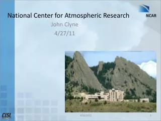
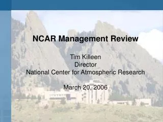
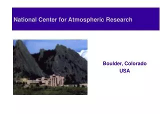
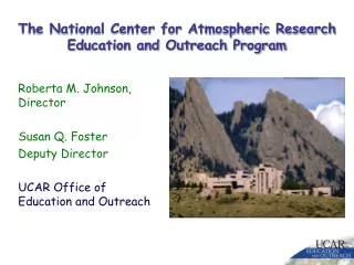
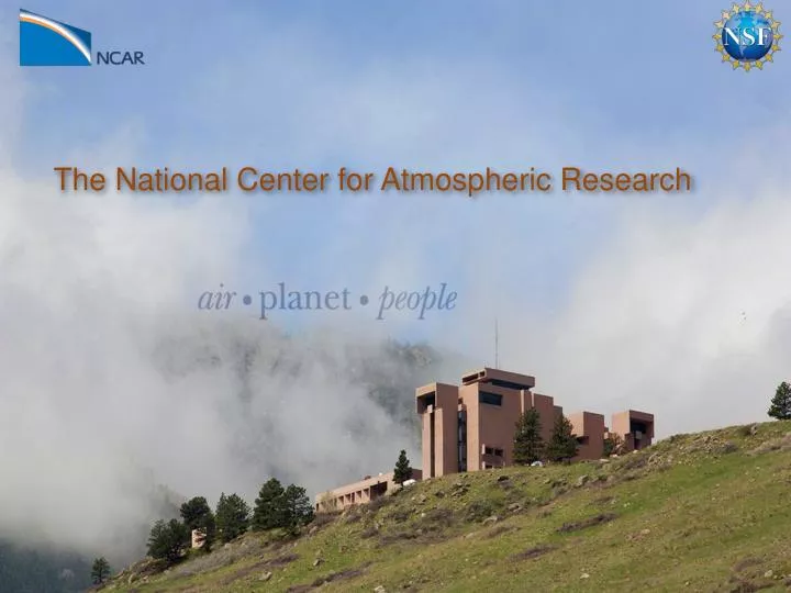
The National Center for Atmospheric Research. NSF FFRDCs. Administered by universities and colleges: National Astronomy and Ionosphere Center (SRI International, USRA and UMET), Arecibo, PR National Center for Atmospheric Research

E N D
NSF FFRDCs Administered by universities and colleges: National Astronomy and Ionosphere Center (SRI International, USRA and UMET), Arecibo, PR National Center for Atmospheric Research (University Corporation for Atmospheric Research), Boulder, CO National Optical Astronomy Observatories (Association of Universities for Research in Astronomy, Inc.), Tucson, AZ National Radio Astronomy Observatory (Associated Universities, Inc.), Green Bank, WV
What we do research, observational & computing services, application development, education & training weather, climate change, air quality, space weather Tools and talent aircraft, satellites & sensors world-class predictive models supercomputers & big data pioneer
About 960 staff physical scientists (e.g., meteorologists, oceanographers, chemists); mathematicians; social scientists; computer scientists; engineers; business, administrative & service professionals Budget about $200 million per year ~70% from NSF ~25% from other U.S. agencies, ~5% from private sector and foreign sources
Supporting the research community Field campaigns and experiments Supercomputing and data management Forum for exchange of ideas and planning Science serving society idea-to-action center for 100+ universities high-impact research saving lives and money
Community Earth System Model (CESM) Advancing Earth-system science
Community Involvement: CESM Management BioGeo- Chemistry Polar CESM Advisory Board Land Ice CESM Scientific Steering Committee Software Engineering Chemistry- Climate Societal Dimensions Paleo- Climate Whole Atmosphere Atmosphere Land Ocean Climate Variability and Change CESM CESM is primarily sponsored by the National Science Foundation and the Department of Energy http://www.cesm.ucar.edu/management
Operation Ice BridgeOctober/November 2011Punta Arenas, Chile • NASA DC8 and NSF/NCAR GV with laser mapping, ice-penetrating and gravity instruments to monitor and characterize Earth’s cryosphere • Survey of thickness and depth of polar ice sheets and glacial movement • Fills gap between NASA’s now defunct ICESat-1 satellite (2009) and its replacement ICESat 2 (launch in 2016)
Pine Island Glacier (PIG) GV Flight tracks Crack in the Glacier Crack in the Glacier Major crack developed in Oct. 2011 18 miles long, 180 ft across, 150 ft deep Iceberg that will be created would be 15x the size of Manhattan
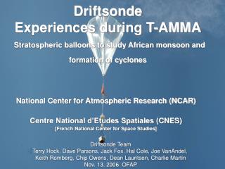
The hurricane hunter's power tool NCAR's dropsonde weather sensor Invented at NCAR Dropped from aircraft into heart of storms Gets critical data for storm location, strength New version provides twice the data at less cost
Caused 800+ deaths in noncommercial aircraft over 20 years In-flight icing NCAR technology Guiding pilots away from dangerous flight paths Preventing ~8 accidents, saving ~$60 million/year
Weather’s highway toll Each year: 7,000+ deaths 1.5 million crashes 554 million vehicle-hour delays $2–3.5 billion trucking delays NCAR and partners are developing Weather-smart vehicles Dashboard warning system for oncoming weather hazards Road maintenance decision tools
Harnessing more wind energy Standard forecasts weren’t built for energy prediction NCAR’S pinpoint forecast system Maximizing turbine output Identifying optimal sites Saving millions per year
Weather forecasting for health Deadly epidemic in 2009: 88,000 Africans contract meningitis 5,000 deaths NCAR pilot program Forecasting weather conditions that reduce vulnerability Providing key information for health experts Helping identify populations in most need
Construction project completed approximately 2 months ahead of schedule andunder budget. Grand Opening 10/15/12 • YELLOWSTONE: • 149.2 terabytes of memory • 74,592 processor cores • 1.6 petaflops peak computational rate (30 times the capacity of the current system)
The NSF/NCAR Gulfstream V Also delivered on time and under budget
Totality during the solar eclipse of August 21, 2017 provides a unique opportunity to assemble a very large number of images, obtained by observers all along the path, into a continuous record of chromospheric and coronal evolution over that time - totality lasts for an hour and a half over the continental U.S - an Eclipse “Megamovie”. August 21, 2017 Engage K-12, college, and amateur groups to assemble the movie using “standard” photographic equipment. https://www.facebook.com/EMP2017
Frontiers in Earth System Dynamics (FESD): Electrical Connections & Consequences Within the Earth System (NSF/GEO: EAR, OCE, AGS) Understand how global atmosphere/ionosphere electrical circuit varies in response to meteorological, solar, galactic, and magnetospheric influences Univ. Colorado, Penn State NCAR Postdocs SOARS students Ingrid Cnossen Ellen Cousins Stanley Edwin Sarah Al-Momar
Decadal and Regional Climate Prediction using Earth System Models (EaSM): Urbanized Coastal Environments (NSF: GEO, MPS, SBE, OPP, DOE, & USDA) Slide 4 – Land Cover Change Summer and Winter Urban Heat Islands at High and Low Resolution Coupled multi-scale ocean, atmosphere, watershed, biogeochemistry and human system models Winter @1km Summer @1km NJ @1km Urban fraction (%) Temperature (˚F) Rutgers University Winter @100km Summer @ 100km NJ @1km Forest
NCAR as an “Intellectual Crossroads” Workshops & Tutorials Summer Colloquia Education ~1000 Visitors to NCAR in FY12