Download
1 / 12
130 likes | 148 Views
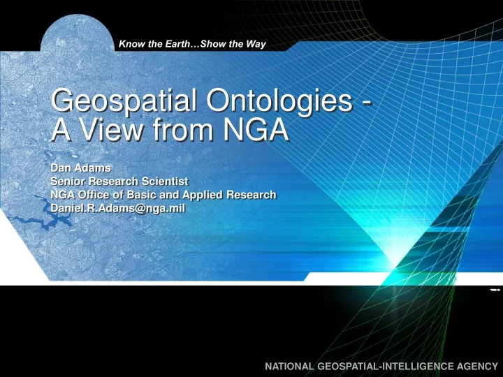
This article presents the view from an Applied Research perspective on geospatial ontologies, including their development, importance, and future needs at NGA. Topics covered include domain to data integration, metadata, analytical products, and ontology development activities.

E N D
Geospatial Ontologies -A View from NGA Dan Adams Senior Research Scientist NGA Office of Basic and Applied Research Daniel.R.Adams@nga.mil
Standards, Canon, Opinions, and Disclaimers • NGA presently has no standard geospatial ontology/ontologies • NGA presently has no policies for the development and deployment of ontologies • But interest is growing… • What follows is the view from an Applied Research perspective
Ontologies: Of What … and Why • Domain to Data • Discovery • Retrieval • Integration • Data to Data • Integration • Knowledge↔Data • Features • Names • Topography • Geography (physical, political, …) • Topology • Mereology • Provenance • Domains
Top Down, Bottom Up or Middle Out? • No apparent interest in, or traction for, use of upper ontologies • Efforts thus far have been Bottom Up… • University research in codification of things observable on the ground • Promotion of Feature Catalog to an ontology • Ontology layers over data source such as airfields (DAFIF™), vertical obstructions (DVOD), GeoNames, etc.
Top Down, Bottom Up or Middle Out?(cont) • And Middle Out • Narrow domains with hand-crafted ontologies bound to lower ontologies • Data ontologies bound upward (to Cyc) • Geospatial Semantic Web research program (started late in 2004) has been primarily working with lower and middle ontologies
Why is NGA Interested in Ontologies? • Organization of Information • “Smart” Taxonomies • Information Discovery • Integration of Data Sources • Many databases • Overlapping, sometimes inconsistent, attributes • Knowledge Capture and Exploitation • More than just ontologies Greatest Hype Risk
Ontology Development Activities at NGA • NURI grant for landscape-based feature classification taxonomy - 2003 • Extracting ontologies in OWL format from Cyc (after enriching the geospatial knowledge in Cyc) - 2005 • Concept Maps vice Ontologies for capturing domain knowledge - 2006 • And possibly binding concept maps to ontologies • “Mini-” ontologies for research prototypes
Where are Ontologies Needed Now?(Feature level) • (Semantic) integration of databases • GGMA is the most visible project (but NGA has a lot of databases…) • Which ontologies will facilitate this? • Discovery and Sharing of relevant data • Within NGA • Between agencies (e.g., DIA, DHS, USGS) • Augment – not replace – metadata
Where will Ontologies be Needed Next?(Add concept and process level) • Enriched analytical products • Move beyond words and embedded pictures • Smarter analytical environments • Assist with process of analysis
Where the Heavy Lifting is Needed • Build a good ontology of geospatial features to support data integration right now • Try to use what’s already been done • Leave room to grow and adapt • Anticipate and prepare for overlapping ontologies • Keep the metadata distinct from the ontology • Check GIS and RDBMS biases at the door
Phrases You Never Expected to Hear… • “There simply aren’t enough good philosophers to go around.” -- Mark Musen (attributed to Barry Smith?) • “We’re going to have to start taking this semantic web stuff seriously.” – Michael Witbrock
Know the Earth…Show the Way UNCLASSIFIED NATIONAL GEOSPATIAL-INTELLIGENCE AGENCY UNCLASSIFIED