Download
1 / 14
140 likes | 152 Views
Explore various water resource scenarios and applications, gain skills in photointerpretation and sensor characteristics, focus on hurricanes, coastal water quality, and snowpack analysis. Improve understanding of water quality assessment and environmental impact post-hurricanes. Learn about water vapor, floods, nutrient transport, algal blooms, and more. Discuss suitable sensors, bands, and variables for different scenarios. Use examples and logic from text for analysis. Enhance knowledge of snowpack monitoring for water supply predictions. Ideal for junior-senior level and beginning graduate students.

E N D
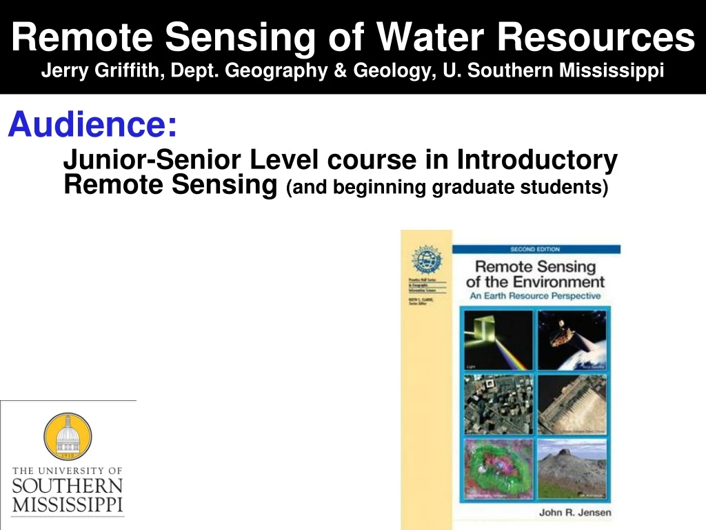
Remote Sensing of Water ResourcesJerry Griffith, Dept. Geography & Geology, U. Southern Mississippi Audience: Junior-Senior Level course in Introductory Remote Sensing (and beginning graduate students)
Remote Sensing of Water Resources Objectives and Goals: A) Examine different scenarios and explore potential applications in the area of water resources: 1) hurricanes and coastal water quality 2) snowpack analysis 3) water quality of Florida Bay B) Gain Skills and Practice in: Basic photointerpretation Basic sensor characteristics Hypothesis formulation Understanding applications
Hurricanes and Coastal Water Quality Assignment: Hurricane Floyd imagery Q1. After a careful analysis of the above imagery, describe how remote sensing technology can be used as a tool to assess Hurricane Floyd’s effect on algae blooms and phytoplankton, important links in the regional marine food chain, and how it could help to understand how the hurricane’s aftermath might affect the fragile environment in the months after the event. 3
Hurricanes and coastal water quality SeaWIFS 1.13 km, 6 vis bands, 2 nir; 1-day temporal return 4 http://oceancolor.gsfc.nasa.gov/SeaWiFS /
Hurricanes and Coastal Water Quality Concepts Water vapor Flood flow Sediment transport Nutrient transport Algal bloom Littoral drift http://svs.gsfc.nasa.gov/stories/floods/index.html 5 http://earthobservatory.nasa.gov/Newsroom/view.php?id=29048
Other water resource applications As a remote sensing specialist, choose 3 of the 5 scenarios below and discuss: (snowpack, Florida Bay water quality, MS River floods, Caribbean coral reefs, Lake Victoria hyacinth invasion) Appropriate sensor system to be used Suitable bands for analysis Identification of necessary biophysical in situ variables Ancillary data Special considerations in remote sensing of water resources Include your logic and examples from text 6
Remote Sensing of Snowpack http://rst.gsfc.nasa.gov/ Estimating Snow Pack in California You are recruited by the State of California to develop a new model using remote sensing technology that will predict future water supplies for the state. Satellite observations of surfaces blanketed by snow are often used to measure the areal extent of the masses likely to melt and track seasonal variation in snow cover from year to year. The State of California wants you to set up a cooperative snow survey project that involves estimating water supply conditions throughout California in the form of snow pack conditions and watershed runoff forecasts. Adapted from Remote Sensing Tutorial 7
Remote Sensing of Snowpack Snowpack Analysis – Landsat - Compare normal year vs. drought year (snow volume) - Implications to agriculture, cities, ecosystems - Discriminating snow vs. clouds 8
Remote Sensing of Snowpack Discriminating clouds from snow 9
Water Quality in Florida Bay You have been hired by the Florida Department of Environmental Protection as a remote sensing ecologist to help restore water quality and improve marine habitat in the Florida Bay, an estuary ecosystem that comprises nearly 1,000 sq. mi. between the Florida Everglades and the Florida Keys. How could remote sensing be used as a tool to assist in this process? Landsat ETM+ 10
Water Quality in Florida Bay Florida Bay Water Quality Issues: Seagrass and sponge die-off Fish and crustacean population decrease Overall decline in water quality Landsat ETM+ or SPOT: Multi-year detection of wetland migration using NIR and/or MIR - surface extent of clear vs turbid water SeaWifs: Band 1 (.402-.422 um) identify Yellow substance (dissolved organic material) Band 3: detect sea surface chlorophyll concentration and then estimate primary production MODIS may provide same info. Landsat TM: blue band: assess coral reef structure and bathymmetry in clear shallow water GOES AVHRR thermal bands: provide SST LiDAR: 1-2m bathymmetry in shallow water, where ship-onboard SONAR use may not be possible • Can Multi-temporal remote sensing and ancillary data from NOAA tide gauges and USGS river gauges to detect changes in: • Water extent • Wetland mangroves and salt marsh evolution • Underwater coral reef growth • Point and non-point pollution sources • Water velocity field • Salinity • Water temperature • Turbidity • Conductivity • Suspended sediment concentration • Chlorophyll concentration • Dissolved organic material • Primary production 11
Overall approach: Summary Have students address these things in approach to remote sensing projects: Socio-biophysical issues needed to be addressed Resolution Spatial Spectral Radiometric Temporal Basic Elements of Image Interpretation – students can never get enough practice Band Selection Other Data needs In situ data Ancillary data 12
Available exercises http://www.cas.sc.edu/geog/research/gisciences/RS/index.html Chapter 13: Remote Sensing of Soils, Minerals, and GeomorphologyEXERCISE #9: Remote Sensing of Soils and Geomorphology
Remote Sensing of Water Resources Powerpoint lecture material and lab exercises will be sent to those owning a copy of the appropriate text or planning on using one of the texts in an academic class. Send requests to gain access to the ftp site for downloading materials to:Mr. Lynn ShirleyDept. of GeographyUniv. of South CarolinaColumbia SC USA 29208 803-777-4590 by emailing Lynn at shirleyl@mailbox.sc.edu with a request that includes: which book you would like the materials for your affiliation (why you need the materials) http://www.cas.sc.edu/geog/research/gisciences/RS/index.html 14