Download
1 / 28
290 likes | 555 Views
2. Limits of the State . Boundaries and Boundary Disputes . Types of boundaries Subsequent Antecedent Superimposed Relic Shatterbelt. Types of boundary disputes: Definitional Locational Allocational Operational Balkanization Irredentism . Terms. Politics of Geography.

E N D
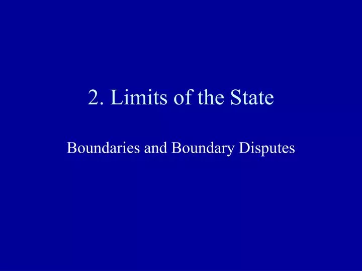
2. Limits of the State Boundaries and Boundary Disputes
Types of boundaries Subsequent Antecedent Superimposed Relic Shatterbelt Types of boundary disputes: Definitional Locational Allocational Operational Balkanization Irredentism Terms
Politics of Geography Effect of place on politics and of politics on place Example: Political Borders
Boundaries • Can be geometric,physical or language • Physical boundaries follow major physical features such as deserts, mountains and/or water bodies • Geometricboundaries are straight lines that serve as political boundaries and are unrelated to physical and/or cultural differences. • Language boundaries (can also be referred to as cultural boundaries.
Geometric Boundary Types Are classified according to whether they were laid out before or after the principal features of the cultural landscape were developed: • Subsequent—drawn after a populationhas established itself. Respect existing spatial patterns of some social, cultural and ethnic groups and can accommodate differences. Eg. Northern Ireland and Eire.
Antecedent –Are relatively unimportant until an area becomes populated. Eg: the boundary between the Western US and Canada drawn in 1846. • Superimposed—Drawn AFTER a population has settled in an area, pay little attention to the composition of the area they divide. • India and Pakistan—subsequent and superimposed.
Boundary Types • Relic: A boundary that has disappeared but can still have impact. May still be marked by some landscape features or differences on the two sides. • Example: North and South Vietnam, and the ancient castles along the former frontier between Wales and England. • What other example do you know of?
In 1982 In 1961 Today, it’s a tourist attraction. Checkpoint Charlie
Shatterbelt • A region in which state boundaries have been drawn and redrawn many different times over the years, largely as a result of being caught between powerful forces. • Examples: Yugoslavia, Caucasus Region, Southeast Asia (Korea and Vietnam) • Balkanization indicates a region has a history of problems.
U.S.- Mexico boundary Calexico, California- Mexicali, Mexico
U.S.- Canada boundary Alberta- Montana
Border between Sweden and Norway—even at a peaceful border, there is a vivid impact on the landscape.
Boundary disputes • Since WWII, half the world’s sovereign powers have been in border disputes. • Most states conflict with their closest neighbors. • (What geographical concept is this an example of?)
Types of disputes • Definitional: When states disagree about the interpretation of legal documents that define a boundary. (also called positional) • Usually occurs with antecedent boundaries. • Boundary becomes more important once the land is occupied.
Types of disputes • Locational : usually arise when a boundary has been artificially imposed on a landscape, and it divides a homogeneous population. (Territorial) • This can bring about irredentism—when the people of one state want to annex territory from another state whose population is ethnically the same as theirs. • Eg. The anschluss by the Nazis of Austria.
Types of disputes • Allocational: one state covets the resources of a neighboring state. Eg.: US and Canada disagreeing about fishing grounds in the Atlantic. (Resource) • Operational : disagreement over policies to be applied along a boundary, such as immigration or land use. Eg.: US and Mexico disagree about their border crossings. (Functional)
Even Sweden and Norway! “A border dispute has reemerged in Swedish-Norwegian relations exactly 100 years after the breakup of the union between the two countries. For years the two governments have negotiated about the sharing of reindeer pasture ground in the North. However, this year the negotiations broke down. The dispute concerns a piece of land far north in the Scandinavian peninsula and the right of Sami reindeer herders from both countries to use the cross-border pasture ground.”
Maritime boundaries The United Nations Convention on the Law of the Sea ascribed four areas of diminishing control: • Territorial sea: All countries have a territorial sea of up to 12 nautical miles (nm). Coastal countries have sovereignty over this area, including exclusive fishing rights.
Maritime Boundaries • Contiguous Zone-- up 24 nm. Coastal states have partial sovereignty; can enforce customs, immigration and sanitation laws. • Exclusive Economic Zone (EEZ) Up to 200 nm. State has right to explore and exploit, but also conserve natural resources of seabed and waters. If the continental shelf extends further, they have rights up to 350nm. • High Seas or Global Commons
Hegemony • The dominance or leadership of one social group or nation over others.