Download
1 / 31
310 likes | 441 Views
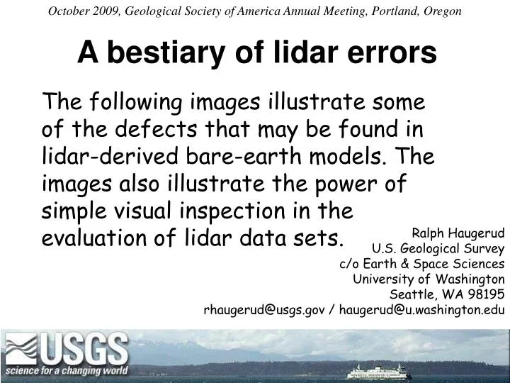
A bestiary of lidar errors. October 2009, Geological Society of America Annual Meeting, Portland, Oregon.

E N D
A bestiary of lidar errors October 2009, Geological Society of America Annual Meeting, Portland, Oregon The following images illustrate some of the defects that may be found in lidar-derived bare-earth models. The images also illustrate the power of simple visual inspection in the evaluation of lidar data sets. Ralph Haugerud U.S. Geological Survey c/o Earth & Space Sciences University of Washington Seattle, WA 98195 rhaugerud@usgs.gov / haugerud@u.washington.edu
small landslide irregular bluff edge in part due to missing ground points ‘tents’ due to misclassified veg points? ground points missing, dense forest? smooth surface in clearing 1 km
small landslide irregular bluff edge in part due to missing ground points ‘tents’ due to misclassified veg points? ground points missing, dense forest? smooth surface in clearing 1 km • DEM is point-based, via TIN (Triangulated Irregular Network) • Quality is spatially variable • Variations in quality are explicit • Not smoothed by human contouring, thus more objective than most contour maps • Noisier than most contour maps
points scalped off bluff corners points scalped off corners Tile-boundary artifacts swath-boundary fault Poor veg penetration, swath mismatch, bad point classification corduroy
Survey B, 2005 Survey A, 2003 poor veg removal • Better IMU calibration • Better return classification • Higher pulse density swath-boundary scarp failure to identify ground points
1 m grid of 1 pulse/m2 survey • “Bomb craters”: negative blunders • Mild corduroy • Crystal forest
Necklace of negative blunders—seen only in this one survey (Bainbridge Island, early 1997) • Mild corduroy • Crystal forest • 1 m grid of 1 pulse/m2 survey
Necklaces of negative blunders—seen only in this one survey (Bainbridge Island, early 1997) • Mild corduroy • Crystal forest • 1 m grid of 1 pulse/m2 survey
Wart in center is 4,000 feet higher than surrounding landscape; are these returns from a cloud? • Note N-S data gaps (missing flight lines?) at right of image
Images calculated from data from a single swath obtained during a fraction of a second (circa 0.4 sec if the instrument was pulsed at 10 KHz). It is thus unlikely that GPS or IMU drift has contributed to the scatter. Any bias stemming from poor IMU or scanner calibration should be removed by subtracting the low-pass-filtered surface. Departures from a smooth surface range from +13.2 to -13.4 cm, with an average departure (standard deviation) of 3.3 cm. The wavelength of this variation is on the order of a few meters, thus I infer that very little of it is due to roughness of the runway surface. Runway surface, 1st and last returns.Illuminated from NW, 5X vertical exaggeration. Area is approximately 50 m x 50 m in size. Departures from smooth surface: surface minus low-pass filtered surface.Illuminated from NW, 5X vertical exaggeration Color map of departures from smooth surface. Cyan = no departure, blue = +6 cm, green = -6 cm.
Mild corduroy (~1/2 ft relief) and swath-margin scarp • 1 m grid of 1 pulse/m2 survey
Swath boundary faults poor calibration
Swath-boundary scarp across lake. 2-3 ft of relief. Irregular edge because of irregular specular reflection (instead of scattering)
Tile-boundary faults • Scalped corners
Tile-boundary fault • Invalid values produced by interpolation across re-entrant in survey area boundary • Weak scan-line striping
Bridging of TIN triangles across open water • Data clipped at nominal shoreline • Some higher-tide data • Corduroy
2 to 4 ft step in freeway coincides with a tile boundary • Multiple calibrations • Irregular, lumpy, freeway surface in western part of image • Locally, uncompensated range walk
1-ft step at tile boundary Multiple calibrations
Tile is 2½ feet higher than sur-rounding tiles. • Multiple calibra-tions • Missing data • Variably compen-sated range-walk?
Steps at tile margins: multiple calibrations Scalping of railroad embankment
Missing data Inconsistent post-processing poorly-designed post-processing workflow?
Burn piles along logging roads • Invalid values produced by interpolation across re-entrant in survey area boundary