Download
1 / 54
540 likes | 555 Views
This project aims to develop a system for distance measurements, camera imaging, and location tracking using Lidar and image registration techniques. The objective is to enhance the navigation capabilities of an autonomous boat for the International RoboBoat competition.

E N D
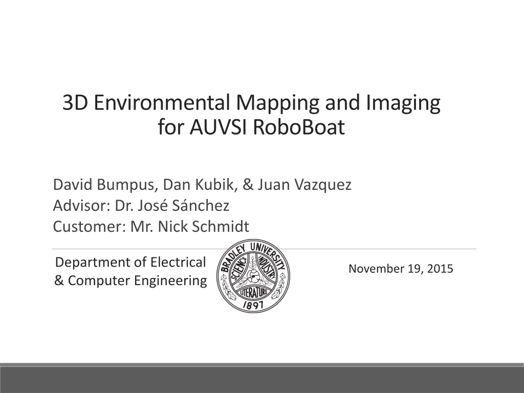
3D Environmental Mapping and Imaging for AUVSI RoboBoat David Bumpus, Dan Kubik, & Juan Vazquez Advisor: Dr. José Sánchez Customer: Mr. Nick Schmidt Department of Electrical & Computer Engineering November 19, 2015
Problem Background: Significance • AUVSI – Association for Unmanned Vehicle System Int’l • International RoboBoat Competition • Bradley has attended since 2012 Fig. 1. Bradley 2013 RoboBoat [1]
Problem Background: Significance • Boat undergoes challenges Fig. 3. 2014 RoboBoat course [2] Fig. 2. RoboBoat navigating through course [1]
Problem Background: Motivation Fig. 4. Boat navigation [3] Fig. 5. Boat struggling [3]
Problem Background: Objective • Return: • Distance measurements • Camera image • Image with distance information • Location of nearest object
David Bumpus: Work Accomplished • Research and develop registration method • Simulate registration method in MATLAB
Work Accomplished: Research Registration [4] • Read papers on Lidar and image registration • Feature Detection vs. Mutual Information • Mutual information is computationally expensive • Feature Detection is dependent on presence of sufficient number and distribution of features Lidar Point Cloud Lidar Intensity Fig. 6. Mutual Information Principle [4] 2D Image
Work Accomplished: Research Registration [5] • Scale Invariant Feature Transform (SIFT) • Speeded-Up Robust Features (SURF) • Principal Components Analysis SIFT (PCA-SIFT) Table I- Performance Comparison of 3 Algorithms [5]
Work Accomplished: MATLAB Simulation Fig. 7. MATLAB SIFT Algorithm Implementation [6]
Work Accomplished: MATLAB Simulation • Vectors represent keypoint descriptors • Each descriptor describes: • Location of keypoint • Magnitude of gradient • Direction of gradient Fig. 7. MATLAB SIFT Algorithm Implementation [6]
Work Accomplished: MATLAB Simulation Fig. 8. Matched features for two very different images [6]
Work Accomplished: MATLAB Simulation • Able to match features from very different environments • Some error present, but attribute to relative object shifts • Ball has moved in relation to chalkboard and camera angle has changed Fig. 8. Matched features for two very different images [6]
Work Accomplished: MATLAB Simulation Fig. 9 Matched features for two similar images [6]
David Bumpus: Future Work • Implement registration on embedded device for single frame • Delaunay Triangulation • SIFT Feature Matching • RANSAC Application • Produce depth overlay • Implement registration for live video
Juan Vazquez: Work Accomplished • OS Selection & Installation • Logitech C500 & Odroid-XU4 Interface • VLP-16 & Odroid-XU4 Interface 70%
Work Accomplished: OS Installation • Ubuntu Server • Memory usage • Software availability • Configurability Fig. 10. Ubuntu Server [7]
Work Accomplished: OS Installation • Operating system booting • MicroSD • EMMC (Embedded MultiMediaCard) • Establishing network connection • Ethernet connection bridge Fig. 12. EMMC [9] Fig. 11. MicroSD [8]
Work Accomplished: Camera Interface • Logitech C500 Linux driver • OpenCV • Functions library • Video capture • Image registration Fig. 13. OpenCV [10]
Work Accomplished: Camera Interface • Image capture program • Live video read • Continuously capturing/overwriting • Stores in PPM (Portable Pixmap Format) Fig. 14. Logitech C500 [11]
Work Accomplished: VLP-16 Interface • Libpcap • Library for packet capture • Packet Detection • UDP (User Datagram Protocol) • Packet Storage • Text file Fig. 15. VLP-16 [12]
Juan Vazquez: Future Work • VLP-16 & Odroid-XU4 Interface • Packet Formatting • Accuracy Testing 70%
Dan Kubik: Work Accomplished • Simulation of lidar (MATLAB) • Implementation of lidar reading functionality (C++) 80%
Work Accomplished: Simulation of lidar • VeloView Software Fig. 17. VeloView view of box Fig. 16. VeloView full view of room with box
Work Accomplished: Simulation of lidar • Keys to successful simulation: • Visualizing how data will be received • Stream of bytes vs. full packet • Understanding data structure • Packets, blocks, data points • Conversion from spherical to rectangular coordinates
Work Accomplished: Simulation of lidar • MATLAB Fig. 19. MATLAB view of box Fig. 18. MATLAB full view of room with box
Work Accomplished: Lidar Implementation • Goal: Implement for Odroid XU4 • C++ and Object Oriented Programming • Creation of classes: • Storage classes (DataPacket, DataBlock, HalfDataBlock, sphDataPoint) • Interface classes (MasterBlock, recDataPoint)
Dan Kubik: Future Work • Implementation of lidar reading functionality • Installing code to Odroid XU4 • Testing 80%
Conclusion • David • Registration algorithm development • Juan • OS installation & interfacing • Dan • Simulation & implementation of lidar
Conclusion • Progress and Future work: • On schedule • Potential problems with registration • Difficulty obtaining key points from lidar data
3D Environmental Mapping and Imaging for AUVSI RoboBoat David Bumpus, Dan Kubik, & Juan Vazquez Advisor: Dr. José Sánchez Customer: Mr. Nick Schmidt Department of Electrical & Computer Engineering November 19, 2015
Testing of VLP-16 Puck™ • Install Veloview Software • Test acquisition of data to Veloview and verify distances • Familiarize self with Veloview data manipulation Fig. 20. Data acquisition to Veloview using VLP-16 Puck
Testing of Logitech C500 Webcam • Install Logitech software • Capture images and Video Fig. 21. Color image from Logitech C500
Registration Flowchart • Filter point cloud • Interpolate point cloud • Create depth maps • Feature detection • Outlier elimination • Feature matching Fig. 22. Registration method flowchart [13]
EMMC vs. microSD Card Fig. 23. Write/Read Speed Comparison [14]
UDP Detection • Current Packet Sniffer Detection • TCP (Transmission Control Protocol) • UDP (User Datagram Protocol) • ICMP (Internet Control Message Protocol) • IGMP (Internet Group Management Protocol) • Others (Detects all Ethernet Frames) Fig. 23. VLP-16 UDP Detection [15]
Ubuntu Desktop vs. Server Fig. 24. Ubuntu Desktop Requirements [16] Fig. 25. Ubuntu Server Requirements [16]
Creating a Bootable MicroSD Card • MiniTool Partition Wizard • Partition creation and wiping • 7zip • Extraction of IMG.XZ file • Win32 Disk Imager • Writing the unpacked IMG file to Micro SD card • Process can also used for flashing eMMC
OpenCV System Requirements [17] • Operating System: Windows, Linux or Mac • Memory (RAM): 256 MB • Hard Disk Space: 50 MB • Processor: 900 MHz
JPG, PNG, & PPM Comparisons [18] [19] • JPG (Joint Photographic Experts Group) • Supports 24-bit color RGB • Compress image data by reducing sections of images to blocks or pixels • Compression is permanent • PNG (Portable Network Graphics) • Supports transparency, 8-bit color, and 24-bit color RGB • Largest of three compared formats • PPM (Portable Pixmap Utilities) • Lowest common denominator color image file format • Includes basic color • Easy to format to process
Storage Classes • DataPacket: Contains 12 DataBlocks and a time stamp • DataBlock: contains 2 HalfDataBlocks • HalfDataBlock: contains 16 DataPoints and an azimuth • DataPoint: contains one distance, reflectivity, and alt. ang.