Download
1 / 5
50 likes | 59 Views
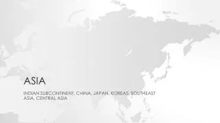
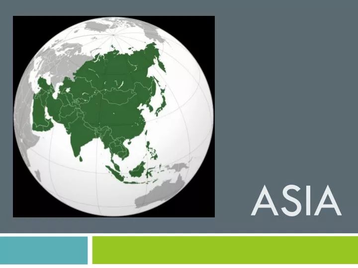
Learn about Asia through an interactive map activity. Label seas, upland areas, and capital cities. Optional extension activities include adding rivers, coloring countries, and summarizing a trip to Asia or researching a specific country.

E N D
Odd one out? • China, Indonesia, Pakistan, Turkey • Himalayas, Urals, Tibetan Plateau, Pennines • Pacific, South China Sea, Bay of Bengal, Mediterranean (seas) • Mandarin, Malay, Russian, Romanian (languages) • Yangtze, Amazon, Ganges, Mekong (rivers)
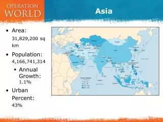
DON’T FORGET TO STACKYOUR MAP! A map of Asia • Write the names of the seas in the correct place • Label upland areas on the map (p90-1) and shade them brown: Tibetan Plateau, Himalayas, Zagros Mtns and Altai Mtns • Make a list 1-10 in the margin on the lines under your map of 10 countries in Asia (perhaps ones that you’ve visited or would like to visit?) • Write numbers on the map in the right places • Write the names of the capital cities next to the correct countries in your list below the map • Label them onto your map using a red square to indicate a capital city. Extension. a. Add some physical features, e.g. 5 rivers of your choice, add up to 8 more countries, colour in your countries and colour code your key
Homework • Finish the map of Asia from today’s lesson • Write a summary of a trip to Asia: what year did you go, who with and what Geography (physical or human) did you notice? • Or choose a country in Asia you would like to visit and answer the following questions: • Where would you like to visit in Asia? • Why would you like to go there? • What do you already know about this place? • What would you like to find out?