Download
1 / 7
70 likes | 83 Views
This workshop aims to provide continuous meteorological services with high-quality data to improve weather prediction accuracy, air quality monitoring, and climate change measures. The objective is to have an observing system with two satellites in place by 2017, facilitating real-time data collection above 50 degrees North. Various applications and products, including atmospheric motion vectors, nowcasting, direct assimilation into NWP, and surface analyses, will be enabled for better understanding and monitoring of key atmospheric and surface variables.

E N D
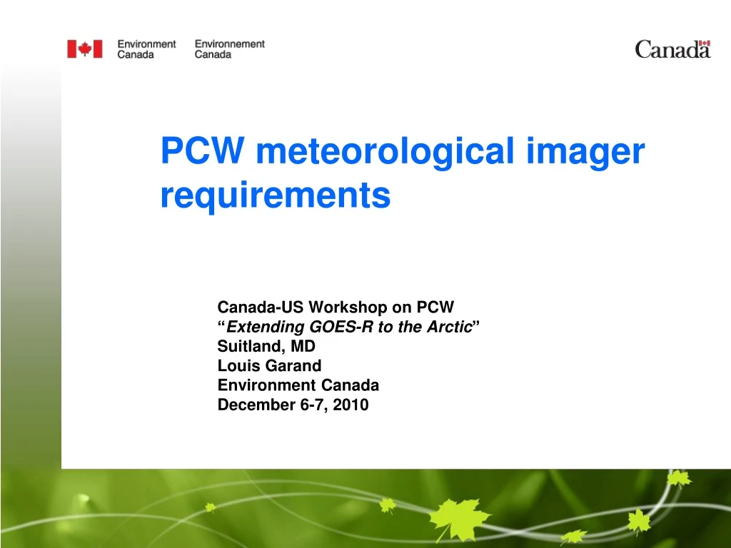
PCW meteorological imager requirements Canada-US Workshop on PCW “Extending GOES-R to the Arctic” Suitland, MD Louis Garand Environment Canada December 6-7, 2010
Specific Objectives for Meteorology • To provide continuous meteorological servicesand information for the entire circumpolar region, with the imagery data “refreshed” as frequently as practical. GOAL 15 min. • To Improve weather prediction accuracy by providing high quality data currently not available or available with insufficient spatial / temporal resolution • To Improve the monitoring and prediction of air quality variables • To develop measures of climate change through high quality monitoring of key atmospheric and surface variables • To have the observing system with 2 satellitesin place by 2017 PCW to have an operational status designed for 20+ years
Basic strategy • Imager with similar characteristics to imagers on GOES-R (2015) and MTG (2017) • Synergy of applications, product calibration facilitated • In line with WMO recommendations to have similar instruments on all meteorological GEO satellites
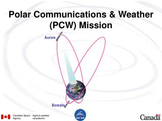
850E 1750E 50W 950W Attractive solution: Molniya12-h • Two satellites in 1 orbital plane (6hrs apart) with 63.40 inclination, i.e. 4 apogee points: 950W, 1750E, 850E, 50W; Apogee: 39,600 km, Perigee: 550 km • 2-sat system allows continuous (24/7) collection of data above 500N
Applications and Products Near real time Atmospheric motion vectors (AMVs) from sequences of images Nowcasting applications: severe weather, visibility (fog), icing in support of air and marine traffic, stability index, turbulence Direct assimilation into NWP - low to mid tropospheric sensitive IR channels Smoke (fires), dust, aerosols in support of air quality models and environmental prediction Volcanic ash detection and tracking Surface temperature, boundary layer inversions
Applications and Products Other products Surface analyses ice, snow, ocean, vegetation and surface characteristics emissivity, albedo, Total column ozone Cloud parameters height, fraction, temperature, emissivity, phase, effective particle size Contribute to satellite-derived Essential Climate Variables (ECVs) - VIS-IR fluxes, vegetation indices (NDVI, LAI, FPAR) All applications benefit from high temporal sampling Details to be discussed in next session