Download
1 / 24
240 likes | 387 Views
By Dag Solheim Norwegian Mapping Authority Co-authors A. Hunegnaw, O. Omang, A. Soltanpour (NMA), B. R. Pettersen, D. I. Lysaker (UMB), H. Drange, J. Johannessen, F. Siegismund (NERSC), H. Nahavandchi, K. Ghazavi (NTNU), A. Gidskehaug (UoB), H. P. Plag (UNR).

E N D
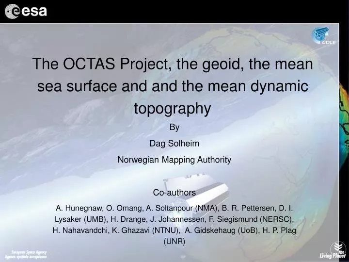
By Dag Solheim Norwegian Mapping Authority Co-authors A. Hunegnaw, O. Omang, A. Soltanpour (NMA), B. R. Pettersen, D. I. Lysaker (UMB), H. Drange, J. Johannessen, F. Siegismund (NERSC), H. Nahavandchi, K. Ghazavi (NTNU), A. Gidskehaug (UoB), H. P. Plag (UNR) The OCTAS Project, the geoid, the mean sea surface and and the mean dynamic topography
OCTAS, Ocean Circulation and Transport between the North Atlantic and the Arctic Sea
NMA, Norwegian Mapping Authority UMB, University of Life Sciences (NLH, Ås) NERSC, Nansen Environmental and Remote Sensing Center NTNU, Norwegian University of Science and Technology UoB, University of Bergen (UoO, University of Oslo) External partners: DNSC, Danish National Space Center OSU, Ohio State University UNR, University of Nevada Reno UEDIN, University of Edinburgh OCTAS partners
Educational part • 4 PhD students • OCTAS Study Course • Enhance the Norwegian capabilities in earth observation by using modern satellite techniques in an interdisciplinary way
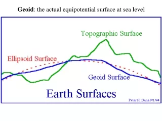
The OCTAS geoid • Collect and validate existing gravity data • Airborne Gravity Survey • Adjustment of marine gravity data • Computation of the geoid using the best available geopotential models
Marine Gravity Data • Many old sources • Errors due to navigation, pre GPS • Blunders • Data bias, insufficient tie to land gravity • Data structure, often given as points and NOT in a line/track-organized way • Mixture of data from several surveys
Adjustment of data • Need data organized as tracks • Each survey internally adjusted • Compute bias for each survey • However • Data often given as points and not as tracks • Some sources a mixture of data from several surveys • UEDIN, network adjustment
Difference between adjusted and non-adjusted gravity data (mgal)
Challenges • OCTAS primary study area, Fram Strait between Greenland and Svalbard • Limited number of satellites, ERS1/2, Envisat • Significant amount of sea ice • Limited number of retracked data available (outside the scope of OCTAS)
Optimal estimation of the geoid and the MDT • Least Square Collocation, LSC • Covariance function modeling • Iterative Combination Method, ICM • Developed by R. Hipkin and A. Hunegnaw at the University of Edinburgh
Post OCTAS Activity • MSS in the Fram Strait, retracking • Geoid computation • Gravity compiling, error screening • Marine survey in 2007 in cooperation with the Norwegian Coast Guard and University of Bergen • GOCE