Download

1 / 15
180 likes | 242 Views
Explore the significance of geography in decision-making and the role of spatial data infrastructure in enhancing choices. Discover how Spatial Decision Support Systems facilitate quicker, informed decisions using GIS technology and spatial analysis methods.

E N D
Spatial decision making Peter Keenan University College Dublin Pre-ICIS SIGGIS Workshop Dublin, Ireland December 11, 2016
Spatial decision making • Location is everything! • What we can do is dependent on where we are! • Decision making requires • Knowing where we are • Knowing where we can go to • Knowing where we want to go to • Many decisions have a spatial element, but are not entirely spatial.
Irish Railway map 1838 • ‘Atlas to accompany the second report of the Irish Railway Commissioners’, displayed on the same map • population • traffic flow • geology • topography
Spatial Techniques • Spatial techniques identify trends not obvious from other forms of analysis • e.g 1854 John Snow
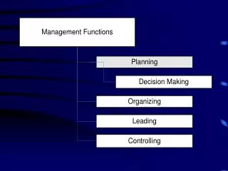
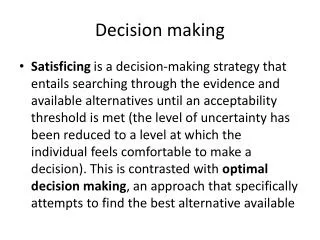
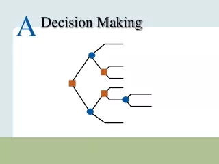
Decision making • What is? Intelligence (Simon) • GIS records data • Geographic context, not decision context. • What do I want? Design (Simon) • This is the decision maker • Many different decisions • How do I choose? Choice (Simon) • relevant information • alternatives
Decision Support Systems • Decision making needs support from IT • Decision support requires specific customised applications, incorporating data, models and a user friendly interface. • Spatial DSS incorporates decision models with spatial models and data. • The challenge is to use data that may be used for many purposes for the needs of specific decision makers.
Same data – many decisions specific model specific model specific model specific model specific model specific model SDSS SDSS SDSS GIS software Spatial Data Infrastructure
DSS life cycle • IT applications typically start with cost saving and move to providing better information for decisions. • Spatial applications ActivityTechnology Recording Remote Sensing Reporting/Query GIS Analysis/Modelling SDSS
SDSS areas of application • traditional GIS data processing userswho have moved to decision making. • forestry • public utility • areas where better spatial data improves model driven approaches • routing • location analysis • New areas where the availability of suitable data and powerful software provides new applications. • marketing • ecological modelling
Evolution of SDSS Transaction processing Operations Research/ Computer Cartography Management Science Optimization and simulation models Database management Spatial analysis Geographic Decision Support Systems Info. Systems GIS DSS Spatial data management Location Group behaviour Science Group Support Systems Publicly available spatial databases Spatial Decision Support Systems
SDSS publications in Scopus • Traditional areas • transportation • planning • Newer examples • Environmental management
SDSS contribution to decisions • Faster decisions • Emergency response • Access to more data • Spatial data infrastructure (SDI) • Assessment of more options • Expanding cognitive capacity of decision makers • More complex modelling • Optimisation • Incorporation of more decision makers • Public participation GIS