Download
1 / 1
10 likes | 77 Views
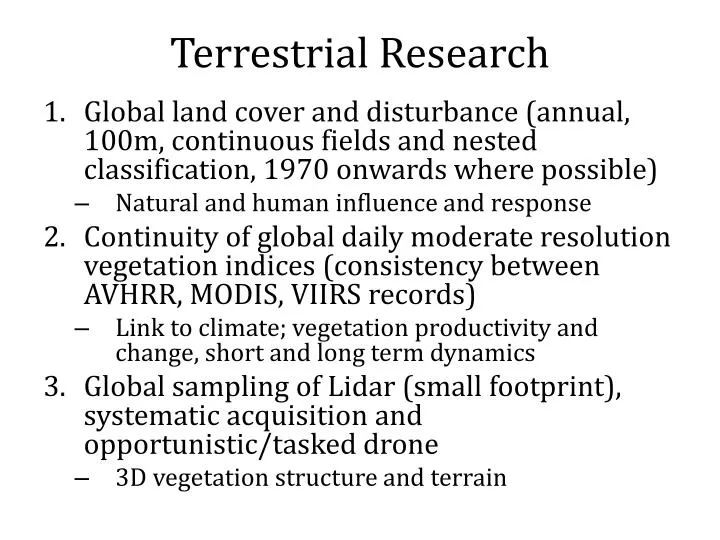
Explore the continuity of global daily moderate resolution vegetation indices from 1970 onwards, examining natural and human influences, responses, and long-term dynamics. Utilize Lidar and drone technology for 3D vegetation structure and terrain mapping, linking to climate and global land cover changes.

E N D
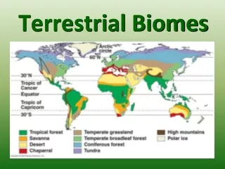
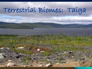
Terrestrial Research • Global land cover and disturbance (annual, 100m, continuous fields and nested classification, 1970 onwards where possible) • Natural and human influence and response • Continuity of global daily moderate resolution vegetation indices (consistency between AVHRR, MODIS, VIIRS records) • Link to climate; vegetation productivity and change, short and long term dynamics • Global sampling of Lidar (small footprint), systematic acquisition and opportunistic/tasked drone • 3D vegetation structure and terrain