Download
1 / 22
220 likes | 389 Views
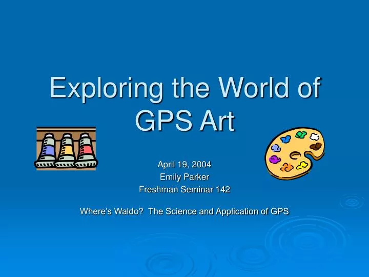
Exploring the World of GPS Art. April 19, 2004 Emily Parker Freshman Seminar 142 Where’s Waldo? The Science and Application of GPS. “ MediaTalk; Putting 40,000 Readers, One by One, on a Cover” April 5, 2004 article in The New York Times by David Carr.

E N D
Exploring the World of GPS Art April 19, 2004 Emily Parker Freshman Seminar 142 Where’s Waldo? The Science and Application of GPS
“MediaTalk; Putting 40,000 Readers, One by One, on a Cover”April 5, 2004 article in The New York Times by David Carr • Customized satellite photos will be on the covers of the June issues of Reason magazine • “Entremedia, a direct marketing firm and a member of Reason's board, assisted in coming up with a program that allows the subscriber list to be integrated with satellite photographs.” PHOTO: http://homedelivery.nytimes.com/HDS/SubscriptionT1.do?mode=SubscriptionT1&ExternalMediaCode=W93AC
Discussion Points • Origins of GPS art • How GPS art is made • Profiles of GPS artists
Ancient Peruvian Drawings ~ Made around 200 BC ~ 37 miles long ~ Can only be seen by airplane ~ Why were they made? We don’t know http://216.239.51.104/search?q=cache:b90TJHA0l5kJ:unmuseum.mus.pa.us/nazca.htm+Peru+%2B+Nazca&hl=en&ie=UTF-8
Selective availability off • Increased accessibility • Better prices www.hqmc.usmc.mil/.../ $FILE/GPS.JPG www.aff.cornell.edu/maps/ judd-fall closure.jpg spaceboy.nasda.go.jp/.../ drts/g/drts_004.jpg
Jeremy Wood and Hugh Pryor experiment with GPS drawing in England http://www.gpsdrawing.com/info.htm
Wallingford, England http://www.gpsdrawing.com/gallery/land/wfish.htm
The Wallingford Fish http://www.gpsdrawing.com/gallery/land/wfish.htm Jeremy Wood
Why is GPS art important? “The technology allows for us to identify new aspects of our journeys.” ~ Jeremy Wood
GPS Artist Koichi Mori • Bike ride: Vista • Running: Foretrex 201 • Swimming: Geko201
http://homepage2.nifty.com/hr_gps/miyakojima.htm Koichi Mori
Koichi Mori’s GPS Drawing Tools http://homepage2.nifty.com/hr_gps/
Jerusalem GPS Artist: Jaime Golombek http://www.golombek.com
GPS art in Ireland http://216.239.51.104/search?q=cache:mN57pahqBU8J:www.charternavgps.ie/gpsdrawing.htm+GPS+drawing&hl=en&start=5&ie=UTF-8
The LandArte Project • In Switzerland • Involved physically changing landscape • Done to celebrate bicentennial - Information from April 2004 issue of GPS World magazine; see Works Cited
Works Cited • Carr, David. “Putting 40,000 Readers, One by One, on a Cover.” The New York Times 5 April 2004: C8 • CharterNav…GPS. “The Centre of the GPS World in Ireland.” < http://www.charternavgps.ie/gpsdrawing.htm > Cited 16 April 2004. • Golombek, Jaime. < www.golombek.com. > Cited 16 April 2004. • Mattle, Bernarda and Bont, Kuno. “Picture this World: Landscape Art of the Alpenrhein.” GPS World. April 2004: 22-27. • Mirapaul, Matthew. “Drawing (and Doodling) With Countryside as Canvas.” The New York Times 1 April 2002: E2 • Mori, Koichi. E-mail interview. April 2004. • Sandhana, Lakshmi. “With GPS, World is Your Canvas.” Wired News. 22 June 2002. < http://216.239.51.104/search?q=cache:5B6Z2OOEcNoJ:www.wired.com/news/culture/0,1284,52989,00.ht ml+GPS+drawing&hl=en&start=10&ie=UTF-8 > Cited 18 April 2004. • Ward, Mark. “Safari by Satellite.” BBC News Online. 15 October 2001. < http://216.239.41.104/search?q=cache:mRxIQcgsZh8J:news.bbc.co.uk/1/hi/in_depth/sci_tech/2000/dot_lif e/1595670.stm+Jeremy+Wood+%2B+GPS&hl=en&ie=UTF-8 > Cited 18 April 2004.