Download
1 / 34
440 likes | 853 Views
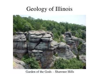
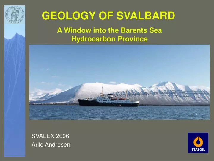
A Window into the Barents Sea Hydrocarbon Province. GEOLOGY OF SVALBARD. SVALEX 2006 Arild Andresen. Svalbard- An uplifted part of the Barents Sea. The Barents Sea/Svalbard is bordered to the N by a rifted margin bordered to the SW by a sheared or transtensional margin.

E N D
A Window into the Barents Sea Hydrocarbon Province GEOLOGY OF SVALBARD SVALEX 2006 Arild Andresen
Svalbard- An uplifted part of the Barents Sea • The Barents Sea/Svalbard is • bordered to the N by a rifted margin • bordered to the SW by a sheared or transtensional margin
Svalbard represents the uplifted and exhumed part of the Barents Sea • Post-Devonian rocks on Svalbard can be considered as field analogues for many of the source and reservoir rocks in the deeper part of the Barents Sea Svalbard Barents Sea Bjørnøya Norway
Simplified W-E profile across central Spitsbergen and the Olga Basin, Western Barents Sea
SVALEX cruises in 2004 Seismic data in the fjords of Svalbard
Geology of Svalbard • Pre-Devonian Hecla Hoek Basement, variably reworked during the Caledonian orogeny • Devonian continental deposits (Old Red Sandstone) • Early/mid-Carboniferous rift deposits • Mid Carboniferous-Permian shelf carbonates • Mesozoic silisiclastic deposits • Tertiary deposits, including foreland basin deposits
Devonian deposits • Strike-slip movement on major fault zones • Fault -bounded basins (Pull apart basins?) • ”Old Red Continent” deposits • The deposits are dominated by conglomerates and sandstones
Devonian sedimentation and deformation West East • Deposition of continental sediments in fault-bounded basins • Combined strike-slip and reverse movement (transpression) along the Billefjorden Fault Zone results in folding of the Devonian deposits (“Svalbardian Phase”)
Early- to Mid-Carboniferous West East • Deposition of Early Carboniferous coal-bearing (pre-rift) fluvial deposits • Mid-Carboniferous syn-rift marginal marine deposits, including conglomerate, sandstone, anhydrite/gypsum and dolomite, in the Billefjorden and St. Jonsfjorden Troughs
Billefjorden SvalSim Synthetic seismic
Carboniferous deposits • Pre-rift: Coal-bearing continental deposits • Syn-rift: Alluvial fan and sabkha conditions • Early post-rift: Marine carbonate platform • This part of the stratigraphy will be studied in the Billefjorden area
Permian • Stable marine carbonate platform. • Kapp Starostin Formation: Spiculitic limestones and cherts.
Late Carboniferous and Permian • Slow thermal subsidence and post-rift deposition • Stable carbonate platform with little influx of clastic sediments • Deposition of a thick succession of carbonates and evaporites
Mesozoic • Change from carbonate to silisiclastic deposition • Continental shelf conditions • The deposits are dominated by shales and sandstones • Little or no tectonic activity • This part of the stratigraphy will be studied in the Festningen section
Mesozoic Festningen
Early? Cretaceous intrusives • Dolerite intrusives into the Permian Kapp Starostin Fm
Tertiary • Compression (transpression) of the region resulted in creation of a foreland basin. • This basin can now be observed in the Central Basin of Spitsbergen.
Early Tertiary • Prior to formation of a transpressional orogen in West Spitsbergen, coal-bearing sediments (black) were deposited in much of the area occupied by Spitsbergen today. This Early Tertiary coal is today mined in Barentsburg, Longyearbyen and Svea
A13 33 Ma A24B 55 Ma Present M10 132 Ma Arctic Plate Tectonics and Opening of the North Atlantic Ocean Schettino & Scotese (2000) Transpressional regime when Svalbard was forced around the NE “corner” of Greenland along the DeGeer zone
Foreland basin profile • Right-lateral displacement along the DeGeer Zone in the Paleocenecreated a transpressional orogen (orogenic belt) in the west and a foreland basin to the East. A perpheral bulge existed most probably further to the east.
Forland basin analogue ”Orogenic belt” • Formation of a foreland basin can be compared with the bending of an ice sheet next to a pressure ridge due to increased weight. The lithosphere is likewise elastically bent in front of an orogen. ”Foreland basin”
Paleocene Evolutionary model: • The foreland basin starts to develop • Development of a thrust wedge in the west and 3 regionally extensive dècollement zones in the underlying strata
Tertiary thin-skinned structures • Duplex associated with the Lower Decollement Zone, Kongsfjorden
Foreland basin infill • Infill of the Tertiary foreland basin • This section will be studied in the Van Kaulen Fjord.
Tertiary deposits Tertiary clinoforms at Storvola in Van Keulenfjord, Spitsbergen. The sediments were transported from left (NW) towards right (SE)
Eocene • Continued shortening of the basin • Basin inversion and deformation along the Billefjorden and Lomfjorden Fault Zones
Thin-skinned shortening structures • Local thickening in Triassic shale/siltstone associated with the Middle Decollement Zone. Loc.: Vendomdalen
Thin-skinned shortening structures Close-up view of the decollement folds at Midterhuken
Inversion structures along Billefjorden Fault Zone (Remember that the Billefjorden Fault Zone acted as a left-lateral strike-slip fault in the Devonian, and as a down-to-the-east extensional fault in the Mid-Carboniferous)
Summary • Heckla Hoek : Pre- Devonian, affected by the Caledonian orogeny • Devonian ”Old Red Sandstone” deposits, fault controlled • Carboniferous rift basins • Mesozoic silicilastic deposits • Late Paleozoic carbonates • Tertiary foreland basin