Download
1 / 2

E N D
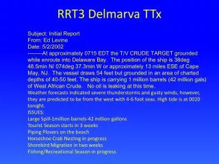
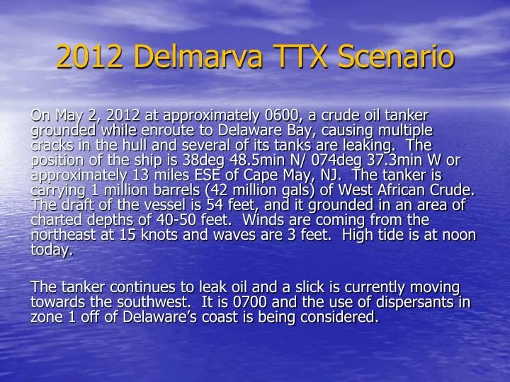
2012 Delmarva TTX Scenario On May 2, 2012 at approximately 0600, a crude oil tanker grounded while enroute to Delaware Bay, causing multiple cracks in the hull and several of its tanks are leaking. The position of the ship is 38deg 48.5min N/ 074deg 37.3min W or approximately 13 miles ESE of Cape May, NJ. The tanker is carrying 1 million barrels (42 million gals) of West African Crude. The draft of the vessel is 54 feet, and it grounded in an area of charted depths of 40-50 feet. Winds are coming from the northeast at 15 knots and waves are 3 feet. High tide is at noon today. The tanker continues to leak oil and a slick is currently moving towards the southwest. It is 0700 and the use of dispersants in zone 1 off of Delaware’s coast is being considered.
Projected Oil Impact Area Fenwick Island, DE Fisherman Island, VA