Download
1 / 7
70 likes | 336 Views
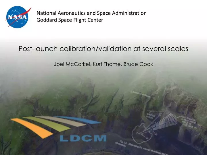
Post-launch calibration/validation at several scales Joel McCorkel, Kurt Thome , Bruce Cook. Joel McCorkel – NASA GSFC. NASA projects CLARREO Reflected Solar Calibration Demonstration System Goddard IRAD for SIRCUS development

E N D
Post-launch calibration/validation at several scalesJoel McCorkel, Kurt Thome, Bruce Cook
Joel McCorkel – NASA GSFC NASA projects • CLARREO Reflected Solar Calibration Demonstration System • Goddard IRAD for SIRCUS development • Science Task Group: Multi-mission, Multi-discipline working group approach to calibration • JPSS Science/Calibration, VIIRS Landsat Science Team - Launch Meeting
Recent CLARREO-related activities FY13: Continue development of SOLARIS CDS • Solar/Lunar for Absolute Reflectance Imaging Spectroradiometer Calibration Demonstration System • Demonstrate 1% calibration in select spectral region • SIRCUS-based calibration error budget • Absolute reflectance accuracy report • Create field-portable version of SOLARIS (Suitcase SOLARIS) • Round robin comparison with University of Arizona transfer radiometer (known for use with MODIS and Landsat 8/OLI) • Field deployment for aircraft and satellite sensor intercalibration Suitcase SOLARIS Silicon trap radiometer Landsat Science Team - Launch Meeting
G-LiHT Goddard’s Lidar, Hyperspectral, and Thermal Airborne Imaging System • PI Bruce Cook • Lidar • 1550 nm • waveform • 60° scan • 7/m3 pulse density • VNIR imaging spectrometer • 0.4–1.0 μm • 1.5-nm sampling • 1-m spatial sampling • Thermal imager • Non-cooled microbolometer • 8–14 μm broadband • 0.45-m spatial sampling • 335-m AGL, 110 kt Landsat Science Team - Launch Meeting
Scales of measurement • G-LiHT (B. Cook) • Lidar • Hyperspectral • Thermal VIIRS, MODIS Landsat 7 and 8 tandem orbit • CLARREO-SOLARIS • Imaging spectroradiometer • High-accuracy point measurement • Reflectance characterization • Site-based measurement • Traceable via reflectance standard Landsat Science Team - Launch Meeting
G-LiHT targets for underflights? Landsat 7 and 8 tandem paths in western US • Mar 29 path 38 • Mar 30 path 45 • Mar 31 path 35 Mar 31 Mar 30 Mar 29 Aircraft/G-LiHT integration NEON-D16 Wind River HJ Andrews Experimental Forest Lake Tahoe Railroad Valley Vineyard tower NEON-D17 San Joaquin/pre-HyspIRI activities Ivanpah Playa Kingsburg tower Lordsburg Playa Algodones Dunes Landsat Science Team - Launch Meeting
Scales of product R. Kao et al, 2012 R. Kao et al, 2012 Landsat biophysical products will be about one order of magnitude in between MODIS and NEON-airborne, spatially and temporally Landsat Science Team - Launch Meeting