Download
1 / 35
360 likes | 530 Views
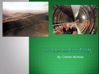
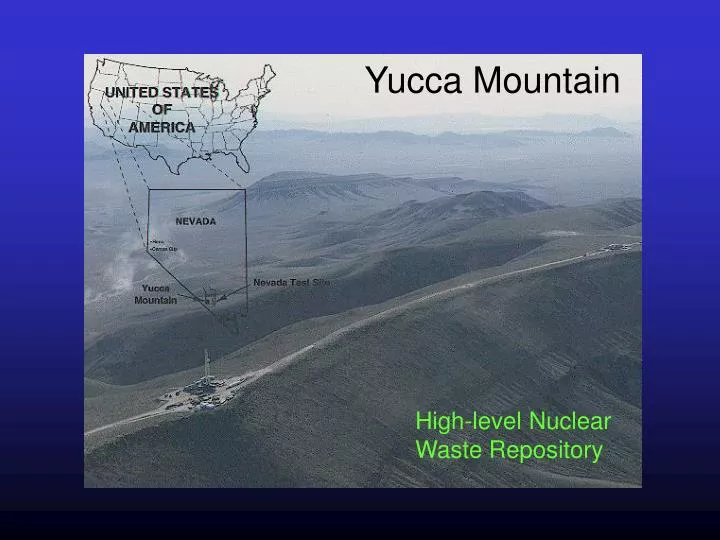
Yucca Mountain. High-level Nuclear Waste Repository. Radiation Basics. CRWMS. CIVILIAN RADIOACTIVE WASTE MANAGEMENT SYSTEM.

E N D
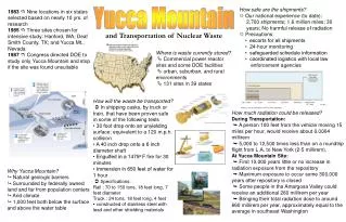
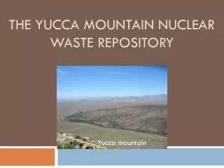
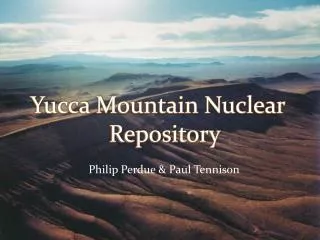
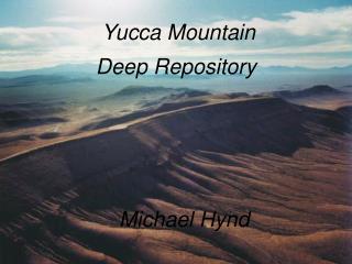
Yucca Mountain High-level Nuclear Waste Repository
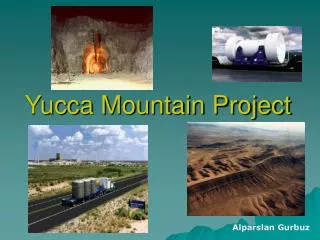
CRWMS CIVILIAN RADIOACTIVE WASTE MANAGEMENT SYSTEM Function of the CRWMS is to "Dispose of Waste” directing or controlling any physical activity, operation, or process to accept title to and physical possession of spent fuel and high-level waste, and transporting these wastes to an interim facility (if authorized) for storage and the repository for permanent disposal. Supporting the Dispose of Waste function are three subfunctions that the CRWMS must perform: Accept and Transport Waste, Store Waste, and Emplace and Isolate Waste.
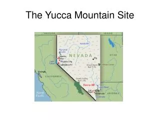
Nuclear Waste Policy Act and Amendments 1982 - NWPA = comprehensive legislation regarding spent nuclear fuel and high-level waste disposal; many options (ocean floor, polar ice, outer space, etc.) EIS - Deep Underground Geologic Disposal = SAFEST Site selection Process = 9 sites in 6 states initially Site list reduced to 5; 3 approved for study: Hanford, WA; Deaf Smith Co., TX; Yucca Mtn., NV 1987 - NWPA Amendments Act to direct DOE to study one site: Yucca Mountain (If found unsuitable, studies to be stopped immediately)
Lawrence Livermore National Laboratory Designs for high- level nuclear wastes of two types: 1) spent fuel from nuclear power plants 2) borosilicate glass containing other high-level waste 1 2
Environmental Considerations
Geology of Yucca Mountain • Geology • Geohydrology • Tectonics • Seismology • Volcanology GOAL: Performance Assessment
Rock Layers at Yucca Mountain Non-welded tuff Unsaturated Zone Welded tuff Water table Fault Saturated Zone Tuff with zeolites
Welded tuff - rhyolite composition, SW Idaho (plain light photomicrograph, ~4 mm view)
Molecular model of Clinoptilolite, a zeolite mineral, K-rich variety of heulandite.
BM = Bare Mountain; WT-7; T-14 = Trench 14; BB = Busted Butte; SC = Solitario Canyon; SR = Stagecoach Road fault
Aeromagnetic Survey Across Crater Flat and Yucca Mtn U.S. Geological Survey ---------------------------------------------------------------------- Help locate and identify the sources of anomalies in the Earth's magnetic field. Magnetic anomalies may be related to near-surface geology or to geologic structural features within the Earth's crust. (Magnetic data may reveal the existence of faults, the distribution of stratigraphic units, the presence of intrusive bodies, the thickness and shape of sedimentary basins, and the depth to the bottom of magnetic sources. Magnetic anomalies will tend to form along boundaries where there is a vertical offset of beds.)
Earthquakes and Faults Field investigations of faults, monitoring of earthquakes, and tests involving nuclear explosions at the NTS suggest that underground structures can withstand ground motion. Trenches allow better exposure of faults and help to understand the history of movement.
Desert Climate - Deep Water Table This makes it possible to put a repository about 300 meters (1,000 feet) underground and still have it be about 240 meters (800 feet) above the water table.
Low Rainfall at Yucca Mountain Precipitation Evapotranspiration Infiltration Unsaturated Zone Runoff Recharge Recharge Percolation Water Table Saturated Zone ~16 cm (6”) rainfall per year small fraction available for infiltration lateral diversion indicated DEEP WATER TABLE
Thermohydrologic Modeling of Yucca Mountain • One- and two- dimensional simulations of the unsaturated zone (UZ). • Three-dimensional simulations of the saturated zone (SZ). • Thermo-hydrologic response following emplacement of heat-generating • waste packages with an assumed heat load of 83 kW/acre. Objectives 1) describe the different thermal regimes 2) assess the thermally driven alterations to the hydrologic conditions 3) quantify the time to return to ambient conditions, and 4) identify the most likely and significant scenarios that may lead to radionuclide releases. Heating of the repository occurs from approximately 0 to 1000 years, followed by cooling for tens of thousands of years. A large boiling zone develops above the repository because of buoyant convection, extending nearly 200 m above the repository between 500-1000 years. The boiling zone collapses entirely after several thousand years, but the region continues to cool for tens of thousands of years.
Volcanic Activity Caldera Formation The caldera complex, the source of Yucca Mountain's welded tuffs, is about 20 miles across and centered about 17 miles north of the mountain.
Volcanic History “Volcano that formed Yucca Mountain is long extinct, but scientists are studying seven small and long inactive volcanoes in the Yucca Mountain area. They want to determine if one might erupt in the next 10,000 years and if an eruption might affect an underground nuclear repository. By studying layers of soil and rock to learn about past volcanic activities, scientists have been able to make predictions about the future. The probability of a future volcanic eruption directly intersecting a repository at Yucca Mountain is estimated to be about one in 70,000,000 per year, as confirmed by an independent panel of experts. This is in line with earlier estimates by Project scientists.” source: OCRWM
Performance Assessment for Radioactive Waste Disposal Yucca Mountain, Nevada Simple drawings show an underground repository under different sets of conditions that might occur during its period of performance.