Download
1 / 43
530 likes | 898 Views
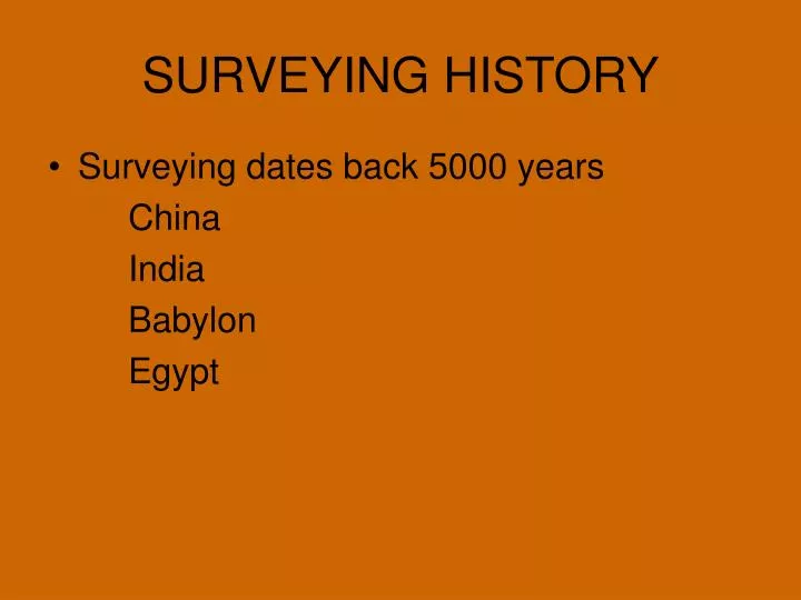
SURVEYING HISTORY. Surveying dates back 5000 years China India Babylon Egypt. Egyptians. Pyramids Roads Property and the Nile River Taxation. Ancient Techniques. Ropes and Knots Water Levels Plumb Levels. Ancient Level. Greeks. 250 BC Archimedes wrote the Sand Reckoner

E N D
SURVEYING HISTORY • Surveying dates back 5000 years China India Babylon Egypt
Egyptians • Pyramids • Roads • Property and the Nile River • Taxation
Ancient Techniques • Ropes and Knots • Water Levels • Plumb Levels
Greeks • 250 BC Archimedes wrote the Sand Reckoner • Established the circumference of the Earth at 300,000 Stadia • 1 Stadia = 1/10 of a mile • 30,000 miles • Actual circumference = 24,900 miles
Greeks and Romans • Surveyed for: • Aqueducts • Roadways • Military Camps • Buildings • Taxation
Fall of the Roman Empire • The Dark Ages • The Age of Enlightenment • Navigation • Up until the late 1700’s navigators struggled with the problem of longitude
Latitude • Where you are north or south is relatively easy to calculate using a Sextant
Longitude • But how do you calculate where you are East and West? • Time is the key • It takes 24 hours for the Earth to spin 360° • 1 hours = 1/24 of a spin • Or 360/24 = 15°
Longitude • At the Equator 15° = 1000 miles • 1° = 68 miles • Problem: No reliable clocks existed that could be used at sea.
Longitude • King George III of England offered a reward to anyone who could solve the problem of longitude. • The reward was $15,000,000 to invent a clock that would loose no more than 3 seconds in 24 hours. • The clock had to find longitude within 1/2°
Longitude • 1Hr = 15° • 1minute = .25° • 2 minutes = .5° • At the Equator that would be 34 miles
Longitude • Many famous scientists tried to tackle the problem • Sir Isaac Newton • Galileo • Edmond Haley • John Harrison – a British clockmaker • Invented the Chronometer
Colonial States Survey • Colonial States Survey • Public Land Survey System
What is Surveying? • Locating Points on Land • How do we locate points? • From Land • From Air • From Space
Types of Surveys Plane Surveying • Topographic Survey – Horizontal plane measurements over the surface of the earth, but including indication of changes in elevation.
Types of Surveys • Property Survey – Sometimes called boundary or Cadastral survey. These are the most common and oldest type of plane surveying • Locating property lines • Usually required by law • Route Survey – Surveys along highways, railroads, pipelines and power lines
Types of Surveys • Hydrographic Survey are similar to Topographic but used for rivers, lake and other bodies of water. • Construction Survey – • Used for the purpose of planning a construction project. • Location and layout of buildings • Controlling the dimensions of a structure as it is being built • As Built Survey Cover dimensional changes that occurs during the construction project.
READING LEGAL DESCRIPTIONS • Public Land Survey System (PLSS)
LET’S WRITE A LEGAL DESCRIPTION NE ¼, NW ¼, Section 21, T2S,R2W P.M. Willamette
National Geodetic Surveys • Continuously Operating Reference Stations (CORS)
CORS BTON • BTON